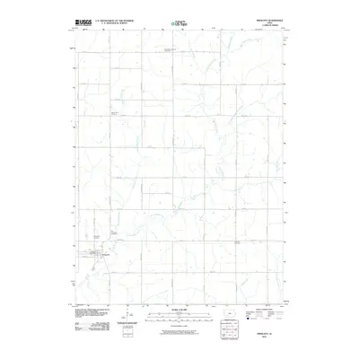
2010 Map of Prescott
USGS Topo · Published 2010About this map
Prescott anchors the southwestern corner of this landscape, where the Prescott Post Office serves as a central landmark for this rural Adams County community. The area's cultural history is deeply inscribed through its various burial grounds, including the Bohemian National Cemetery and the Mount Zion Cemetery, which reflect the ancestral heritage and early settlement patterns of the region. The terrain is defined by a dense network of watercourses, most notably the East Nodaway River and its numerous tributaries such as the East Fork East Nodaway River, Shanghai Creek, and Metz Creek. The rural road grid, composed of thoroughfares like Sycamore Ave and 150th St, provides access to these isolated landmarks and various branches of the river system, documenting the layout of this Iowa agricultural region in the early 21st century.
Find a feature on this map
36 named features on this map. Tap any name to fly to it.
Don’t see what you’re looking for? This feature index may not catch every label — zoom into the map to look around manually.
Map Details
Editions of this 2010 Prescott Map
This is the sole edition of this map. No revisions or reprints were ever made.
Other maps of this area

1954 · Omaha
USGS Topo · 1:250,000

1955 · Nebraska City
USGS Topo · 1:250,000

1957 · Nebraska City
USGS Topo · 1:250,000

1957 · Omaha
USGS Topo · 1:250,000

1958 · Omaha
USGS Topo · 1:250,000

1958 · Nebraska City
USGS Topo · 1:250,000

1980 · Corning South
USGS Topo · 1:24,000

1980 · Lenox
USGS Topo · 1:24,000

1980 · Nevinville
USGS Topo · 1:24,000

1980 · Corning North
USGS Topo · 1:24,000