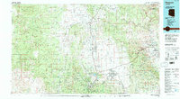
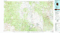
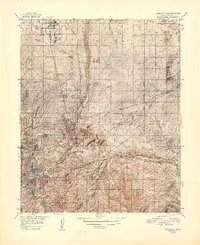
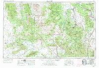
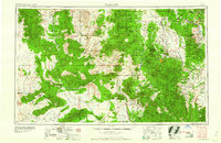
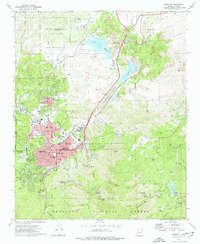
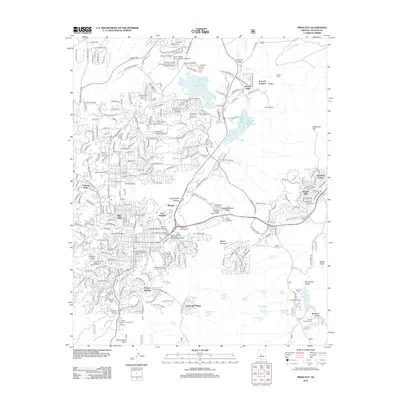
1981 Map of Prescott
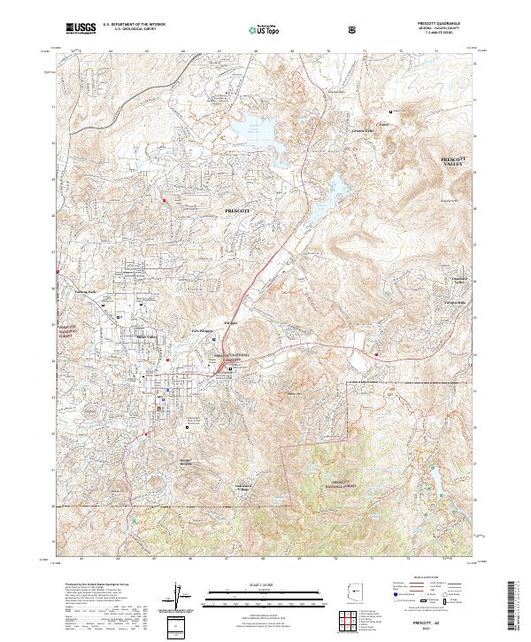
USGS Topo · Published 1996About this map
Mingus Mountain and the Black Hills define the eastern horizon of this 1980s landscape, marking the transition from the high desert basins to the Verde River valley. The industrial legacy of the region is centered on the United Verde Mine near Jerome and the Iron King Mine further south, illustrating the copper and gold mining operations that sustained these mountain communities. The valley floors show significant development patterns, from the established city of Prescott to the growing residential tracts of Prescott Valley and Chino Valley.
Find a feature on this map
54 named features on this map. Tap any name to fly to it.
Don’t see what you’re looking for? This feature index may not catch every label — zoom into the map to look around manually.
Map Details
Editions of this 1981 Prescott Map
2 editions found
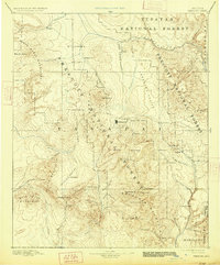
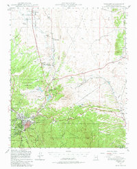
Historical Maps of Prescott Through Time
16 maps found

1887 Prescott
Yavapai County, AZ
1892 Prescott
Yavapai County, AZ
1947 Prescott
Yavapai County, AZ
1948 Prescott
Yavapai County, AZ

1950 Prescott
Yavapai County, AZ
1954 Prescott
Yavapai County, AZ

1958 Prescott
Yavapai County, AZ

1959 Prescott
Yavapai County, AZ
1960 Prescott
Yavapai County, AZ

1965 Prescott
Yavapai County, AZ
1973 Prescott
Yavapai County, AZ
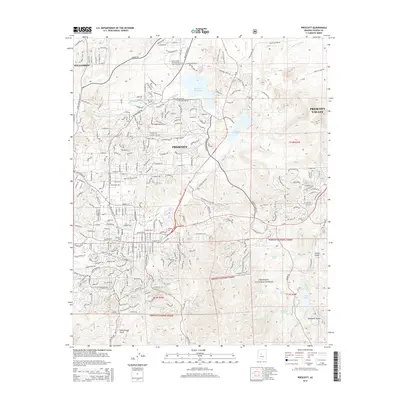
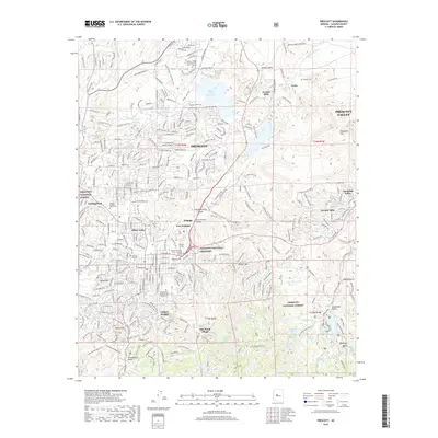
1981 Prescott
Yavapai County, AZ
2012 Prescott
Yavapai County, AZ
2014 Prescott
Yavapai County, AZ
2018 Prescott
Yavapai County, AZ
2021 Prescott
Yavapai County, AZ