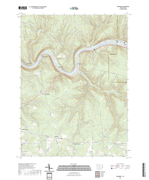
2023 Map of President
USGS Topo · Published 2023About this map
The Allegheny Wild and Scenic River carves a deep, winding path through this portion of Venango County, defining the local topography and settlement patterns. Small communities and historical landings cling to the riverbanks, including the namesake village of President and the distinct river bends at Henrys Bend and Eagle Rock. This modern survey illustrates the enduring rural character of the region, where family history is anchored at the Heckathorn Cem and Van Giesen Cem.
Find a feature on this map
79 named features on this map. Tap any name to fly to it.
Don’t see what you’re looking for? This feature index may not catch every label — zoom into the map to look around manually.
Map Details
Editions of this 2023 President Map
This is the sole edition of this map. No revisions or reprints were ever made.
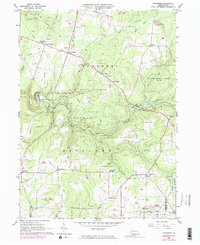
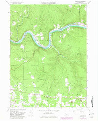
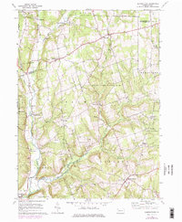
Historical Maps of Oleopolis Through Time
8 maps found
Featured Locations
- Cornplanter Township, PA
- Cranberry Township, PA
- President Township, PA
- Pinegrove Township, PA
- Tionesta Township, PA