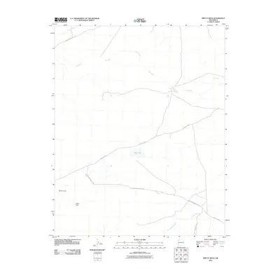
2010 Map of Pretty Rock
USGS Topo · Published 2010About this map
Pretty Rock lies within a stark and expansive landscape characterized by deep drainage systems and winding routes through the Eastern Navajo Agency. The geography is defined by seasonal watercourses such as De-na-zin Wash in the north and the extensive Coal Creek system that meanders across the central plains. These washes, including the southern Ah-shi-sle-pah Wash, shape the local terrain, creating natural corridors like Tsaya Canyon. Transport and access in this region rely on a network of established paths, most notably Indian Service Route 7022 and Indian Service Route 7023, which connect the settlement area to the surrounding plateaus. The presence of Black Lake provides a rare localized water feature in an otherwise arid environment, serving as a primary landmark for those navigating between the various county and service roads.
Find a feature on this map
11 named features on this map. Tap any name to fly to it.
Don’t see what you’re looking for? This feature index may not catch every label — zoom into the map to look around manually.
Map Details
Editions of this 2010 Pretty Rock Map
This is the sole edition of this map. No revisions or reprints were ever made.
Other maps of this area

1889 · Largo
USGS Topo · 1:250,000

1889 · Chaco
USGS Topo · 1:250,000

1892 · Chaco
USGS Topo · 1:250,000

1895 · Largo
USGS Topo · 1:250,000

1954 · Shiprock
USGS Topo · 1:250,000

1954 · Aztec
USGS Topo · 1:250,000

1958 · Shiprock
USGS Topo · 1:250,000

1958 · Aztec
USGS Topo · 1:250,000

1959 · Shiprock
USGS Topo · 1:250,000

1962 · Aztec
USGS Topo · 1:250,000