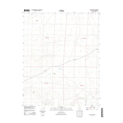
2013 Map of Pretty Rock
USGS Topo · Published 2013About this map
Pretty Rock anchors this high-desert landscape in New Mexico’s Eastern Navajo Agency, appearing as a quiet settlement defined by its vast topographic surroundings. The terrain is marked by significant hydrological features such as De-na-zin Wash in the north and the wide course of Ah-shi-sle-pah Wash to the south. Central to the map's geography is the distinctive basin of Split Lip Flats, which transitions into the carved landscape of Tsaya Canyon.
Find a feature on this map
15 named features on this map. Tap any name to fly to it.
Don’t see what you’re looking for? This feature index may not catch every label — zoom into the map to look around manually.
Map Details
Editions of this 2013 Pretty Rock Map
This is the sole edition of this map. No revisions or reprints were ever made.
Other maps of this area

1889 · Largo
USGS Topo · 1:250,000

1889 · Chaco
USGS Topo · 1:250,000

1892 · Chaco
USGS Topo · 1:250,000

1895 · Largo
USGS Topo · 1:250,000

1954 · Shiprock
USGS Topo · 1:250,000

1954 · Aztec
USGS Topo · 1:250,000

1958 · Shiprock
USGS Topo · 1:250,000

1958 · Aztec
USGS Topo · 1:250,000

1959 · Shiprock
USGS Topo · 1:250,000

1962 · Aztec
USGS Topo · 1:250,000