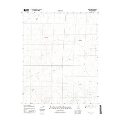
2017 Map of Pretty Rock
USGS Topo · Published 2017About this map
Split Lip Flats and the high desert terrain of the San Juan Basin define this 2017 survey of the Eastern Navajo Agency. The landscape is marked by the branching drainage of Coal Cr and the larger De-na-zin Wash to the north, showing a topography where water has carved deep into the plateau. The small settlement at Pretty Rock serves as a primary point of reference in an area dominated by open range and significant geographical features like Tsaya Canyon.
Find a feature on this map
18 named features on this map. Tap any name to fly to it.
Don’t see what you’re looking for? This feature index may not catch every label — zoom into the map to look around manually.
Map Details
Editions of this 2017 Pretty Rock Map
This is the sole edition of this map. No revisions or reprints were ever made.
Other maps of this area

1889 · Largo
USGS Topo · 1:250,000

1889 · Chaco
USGS Topo · 1:250,000

1892 · Chaco
USGS Topo · 1:250,000

1895 · Largo
USGS Topo · 1:250,000

1954 · Shiprock
USGS Topo · 1:250,000

1954 · Aztec
USGS Topo · 1:250,000

1958 · Shiprock
USGS Topo · 1:250,000

1958 · Aztec
USGS Topo · 1:250,000

1959 · Shiprock
USGS Topo · 1:250,000

1962 · Aztec
USGS Topo · 1:250,000