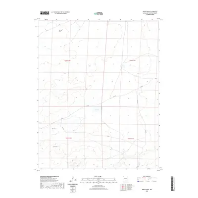
2020 Map of Pretty Rock
USGS Topo · Published 2020About this map
Pretty Rock and its surrounding desert plateaus characterize this high-elevation landscape in New Mexico. The terrain is defined by a series of drainages, including De-na-zin Wash in the north and the extensive Ah-shi-sle-pah Wash to the south, which showcase the erosion patterns of the San Juan Basin. The high, level ground of Split Lip Flats contrasts with the deeply carved Tsaya Canyon, illustrating the varied topography that collectors and geologists study in this region.
Find a feature on this map
17 named features on this map. Tap any name to fly to it.
Don’t see what you’re looking for? This feature index may not catch every label — zoom into the map to look around manually.
Map Details
Editions of this 2020 Pretty Rock Map
This is the sole edition of this map. No revisions or reprints were ever made.
Other maps of this area

1889 · Largo
USGS Topo · 1:250,000

1889 · Chaco
USGS Topo · 1:250,000

1892 · Chaco
USGS Topo · 1:250,000

1895 · Largo
USGS Topo · 1:250,000

1954 · Shiprock
USGS Topo · 1:250,000

1954 · Aztec
USGS Topo · 1:250,000

1958 · Shiprock
USGS Topo · 1:250,000

1958 · Aztec
USGS Topo · 1:250,000

1959 · Shiprock
USGS Topo · 1:250,000

1962 · Aztec
USGS Topo · 1:250,000