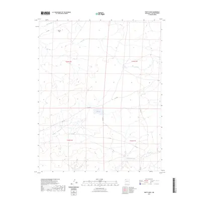
2023 Map of Pretty Rock
USGS Topo · Published 2023About this map
Tsaya Canyon and the broad expanses of Split Lip Flats define this high-desert landscape in San Juan County. The drainage patterns of the San Juan Basin are clearly etched into the terrain, with the De-na-zin Wash cutting across the northern reaches and Ah-shi-sle-pah Wash winding through the south. This modern survey by the U.S. Geological Survey details a network of tribal and county routes, including Is Rt 7022 and Co Rd 7650, which provide access through the open range. Water is a scarce but vital feature here, represented by the ephemeral Coal Creek and the central Black Lake. The map captures the current configuration of public and private land boundaries within townships like t23n r12w, documenting the modern infrastructure of this remote corner of New Mexico.
Find a feature on this map
16 named features on this map. Tap any name to fly to it.
Don’t see what you’re looking for? This feature index may not catch every label — zoom into the map to look around manually.
Map Details
Editions of this 2023 Pretty Rock Map
This is the sole edition of this map. No revisions or reprints were ever made.
Other maps of this area

1889 · Largo
USGS Topo · 1:250,000

1889 · Chaco
USGS Topo · 1:250,000

1892 · Chaco
USGS Topo · 1:250,000

1895 · Largo
USGS Topo · 1:250,000

1954 · Shiprock
USGS Topo · 1:250,000

1954 · Aztec
USGS Topo · 1:250,000

1958 · Shiprock
USGS Topo · 1:250,000

1958 · Aztec
USGS Topo · 1:250,000

1959 · Shiprock
USGS Topo · 1:250,000

1962 · Aztec
USGS Topo · 1:250,000