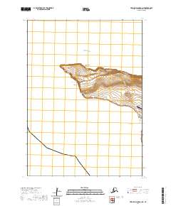
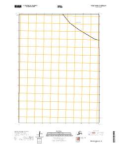
2020 Map of Pribilof Islands A-3 NE
USGS Topo · Published 2020About this map
St. George anchors this remote Bering Sea outpost, situated on the northern coast of St. George Island. The settlement's proximity to the sea is emphasized by the cluster of landmarks along the shore, including the rocky outcrops of Fox Castle and Esogemunga near Yaganuda Cove. Modern infrastructure is represented by the St George Airport and the coastal path of Harbor View Drive (Extension) which runs toward the island's interior. The terrain is defined by a series of elevations such as Samalogh Ridge, Maynard Hill, and Ananongutka, providing a high vantage point over the Bering Sea. To the south, the coastline curves into Zapadni Bay, while the northern projection is marked by prominent headlands like Dalnoi Point and Suskaralogh Point. This 2020 record reflects the enduring geography of one of the northernmost inhabited points in the Aleutians West region.
Find a feature on this map
20 named features on this map. Tap any name to fly to it.
Don’t see what you’re looking for? This feature index may not catch every label — zoom into the map to look around manually.
Map Details
Editions of this 2020 Pribilof Islands A-3 NE Map
This is the sole edition of this map. No revisions or reprints were ever made.
Other maps of this area
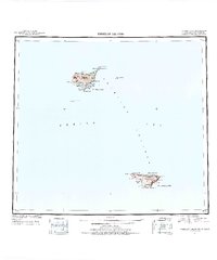
1948 · Pribilof Islands
USGS Topo · 1:250,000
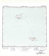
1949 · Pribilof Islands
USGS Topo · 1:250,000
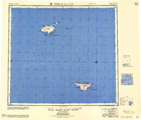
1958 · Pribilof Islands
USGS Topo · 1:250,000
1969 · Pribilof Islands
USGS Topo · 1:250,000
2001 · Saint George Island West
USGS Topo · 1:25,000
2020 · Pribilof Islands A-2 NW
USGS Topo · 1:25,000
2020 · Pribilof Islands A-2 SW
USGS Topo · 1:25,000
2020 · Pribilof Islands A-3 SE
USGS Topo · 1:25,000