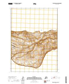
2020 Map of Pribilof Islands A-2 NW
USGS Topo · Published 2020About this map
St. George anchors this high-resolution study of the northern and central portions of Saint George Island within the Pribilof Islands. The landscape is defined by its dramatic coastal features and volcanic topography, from the sheer drops of First Bluff and Red Bluffs to prominent summits like Ulakaia Hill and South Sealion Hill. Coastal landmarks such as Takamgia Point and Cascade Point trace a shoreline of sharp inlets and coves. Inland, the connectivity of the island is mapped through essential infrastructure including the Airport Access Road, Zapadni Bay Road, and Cemetary Hill Road. The survey also highlights local water sources and landing sites, such as the secluded Tanogtukan Lake and the eastern indentation of Garden Cove, illustrating the island's isolated but functional maritime environment.
Find a feature on this map
33 named features on this map. Tap any name to fly to it.
Don’t see what you’re looking for? This feature index may not catch every label — zoom into the map to look around manually.
Map Details
Editions of this 2020 Pribilof Islands A-2 NW Map
This is the sole edition of this map. No revisions or reprints were ever made.
Other maps of this area
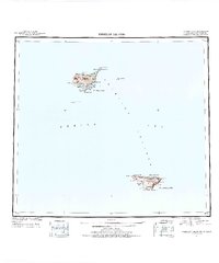
1948 · Pribilof Islands
USGS Topo · 1:250,000
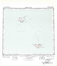
1949 · Pribilof Islands
USGS Topo · 1:250,000
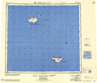
1958 · Pribilof Islands
USGS Topo · 1:250,000
1969 · Pribilof Islands
USGS Topo · 1:250,000
2001 · Saint George Island West
USGS Topo · 1:25,000
2001 · Saint George Island East
USGS Topo · 1:25,000
2020 · Pribilof Islands A-2 SW
USGS Topo · 1:25,000
2020 · Pribilof Islands A-3 SE
USGS Topo · 1:25,000
2020 · Pribilof Islands A-2 SE
USGS Topo · 1:25,000
2020 · Pribilof Islands A-3 NE
USGS Topo · 1:25,000