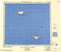
1958 Map of Pribilof Islands
USGS Topo · Published 1958About this map
St. Paul Island and St. George Island anchor this mid-century maritime study of the Pribilof Islands, isolated volcanic outcroppings in the Bering Sea. The landscape is dominated by cinder cones and hills, such as Rush Hill on St. Paul and Ulakaia Hill on St. George, rising above a coastline of bluffs and bights. In this era, the two primary settlements, St Paul and St. George, serve as the only human hubs amidst a network of natural features. Small freshwater bodies like Big Lake and Sheep L dot the tundra interior, while the shoreline is defined by points and bays including English Bay and Zapadni Bay. Smaller landforms like Otter Island, Walrus Island, and the jagged Sea Lion Rock emphasize the archipelago's role as a critical habitat for northern marine life, far removed from the Alaskan mainland.
Find a feature on this map
47 named features on this map. Tap any name to fly to it.
Don’t see what you’re looking for? This feature index may not catch every label — zoom into the map to look around manually.
Map Details
Editions of this 1958 Pribilof Islands Map
This is the sole edition of this map. No revisions or reprints were ever made.
Other maps of this area
1948 · Pribilof Islands
USGS Topo · 1:250,000
1949 · Pribilof Islands
USGS Topo · 1:250,000
1969 · Pribilof Islands
USGS Topo · 1:250,000
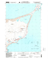
2001 · Saint Paul Island East
USGS Topo · 1:25,000
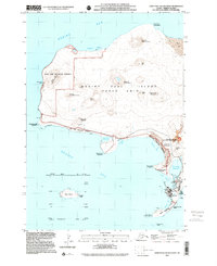
2001 · Saint Paul Island West
USGS Topo · 1:25,000
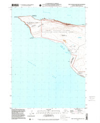
2001 · Saint George Island West
USGS Topo · 1:25,000
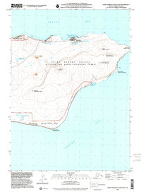
2001 · Saint George Island East
USGS Topo · 1:25,000
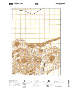
2020 · Pribilof Islands D-4 SW
USGS Topo · 1:25,000
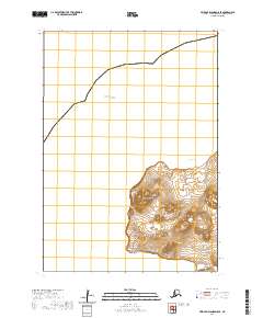
2020 · Pribilof Islands D-5 SE
USGS Topo · 1:25,000
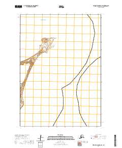
2020 · Pribilof Islands D-4 SE
USGS Topo · 1:25,000