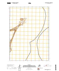
2020 Map of Pribilof Islands D-4 SE
USGS Topo · Published 2020About this map
Northeast Point defines the northern reaches of this remote island landscape within the Bering Sea. The terrain is shaped by volcanic and coastal features, characterized by localized rises such as Hutchinson Hill and Cross Hill. These heights overlook the shoreline at Walrus Bight and Sea Lion Point, names that reflect the significant biological presence typical of the Aleutians West Census Area. A single arterial, Ne Point Road, provides the primary overland access through this section of the island, passing by Lake Dune. The map illustrates the specialized geography of the Pribilof Islands, where distinct landforms like hills and bights are isolated by the surrounding waters of the Bering Sea.
Find a feature on this map
11 named features on this map. Tap any name to fly to it.
Don’t see what you’re looking for? This feature index may not catch every label — zoom into the map to look around manually.
Map Details
Editions of this 2020 Pribilof Islands D-4 SE Map
This is the sole edition of this map. No revisions or reprints were ever made.
Other maps of this area
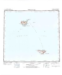
1948 · Pribilof Islands
USGS Topo · 1:250,000
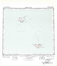
1949 · Pribilof Islands
USGS Topo · 1:250,000
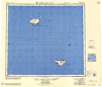
1958 · Pribilof Islands
USGS Topo · 1:250,000
1969 · Pribilof Islands
USGS Topo · 1:250,000
2001 · Saint Paul Island East
USGS Topo · 1:25,000
2020 · Pribilof Islands D-4 SW
USGS Topo · 1:25,000
2020 · Pribilof Islands C-4 NE
USGS Topo · 1:25,000
2020 · Pribilof Islands C-3 NW
USGS Topo · 1:25,000
2020 · Pribilof Islands C-4 NW
USGS Topo · 1:25,000