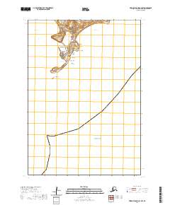
2020 Map of Pribilof Islands C-4 NW
USGS Topo · Published 2020About this map
St. Paul serves as the primary hub of human activity on this island landscape within the Pribilof Islands in the Bering Sea. The settlement is closely tied to its maritime surroundings, flanked by Village Cove and Zolotoi Bay, while the interior is defined by a network of local roads such as Polovina Turnpike and Diamond Hill Road. The topography is a mix of volcanic-named features like Telegraph Hill and Mid Hill, alongside distinct coastal formations including Tolstoi Sands and Black Bluffs. This 2020 survey illustrates the balance between the community at St. Paul and the surrounding wilderness, where geographic features such as Salt Lagoon and offshore points like Sea Lion Rock characterize the rugged coastline of the Aleutians West Census Area.
Find a feature on this map
34 named features on this map. Tap any name to fly to it.
Don’t see what you’re looking for? This feature index may not catch every label — zoom into the map to look around manually.
Map Details
Editions of this 2020 Pribilof Islands C-4 NW Map
This is the sole edition of this map. No revisions or reprints were ever made.
Other maps of this area
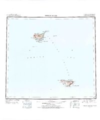
1948 · Pribilof Islands
USGS Topo · 1:250,000
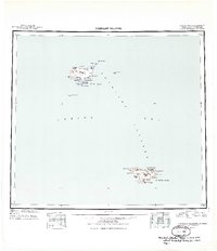
1949 · Pribilof Islands
USGS Topo · 1:250,000
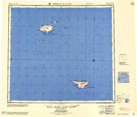
1958 · Pribilof Islands
USGS Topo · 1:250,000
1969 · Pribilof Islands
USGS Topo · 1:250,000
2001 · Saint Paul Island East
USGS Topo · 1:25,000
2001 · Saint Paul Island West
USGS Topo · 1:25,000
2020 · Pribilof Islands D-4 SW
USGS Topo · 1:25,000
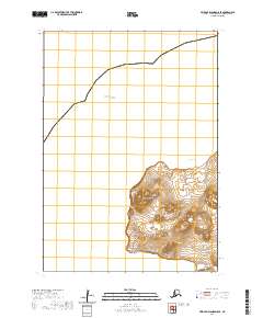
2020 · Pribilof Islands D-5 SE
USGS Topo · 1:25,000
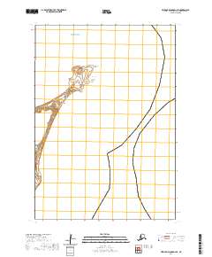
2020 · Pribilof Islands D-4 SE
USGS Topo · 1:25,000
2020 · Pribilof Islands C-4 NE
USGS Topo · 1:25,000