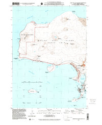
2001 Map of Saint Paul Island West
USGS Topo · Published 2002About this map
The volcanic landscape of Saint Paul Island is meticulously detailed in this survey, showcasing the remote Pribilof Islands' unique topography. Centered on the settlement of St Paul, the map documents a community deeply intertwined with its maritime environment, featuring local landmarks like the Cem and Black Bluffs. The shoreline is defined by specialized conservation areas such as the Zapadni Tolstoi Rookery and Reef Rookery, managed by the Fish and Wildlife Service. Inland, numerous volcanic peaks like Crater Hill and Bogoslof Hill rise above the tundra, while offshore, the small landmasses of Otter Island and Sea Lion Rock sit in the Bering Sea. The inclusion of Unangam Tunuu place names alongside English labels provides a vital cultural layer to the geographic data, recording traditional designations for features like Salt Lagoon.
Find a feature on this map
40 named features on this map. Tap any name to fly to it.
Don’t see what you’re looking for? This feature index may not catch every label — zoom into the map to look around manually.
Map Details
Editions of this 2001 Saint Paul Island West Map
This is the sole edition of this map. No revisions or reprints were ever made.
Other maps of this area
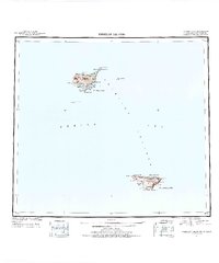
1948 · Pribilof Islands
USGS Topo · 1:250,000
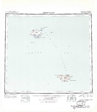
1949 · Pribilof Islands
USGS Topo · 1:250,000
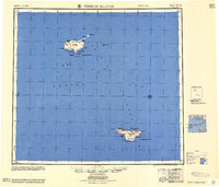
1958 · Pribilof Islands
USGS Topo · 1:250,000
1969 · Pribilof Islands
USGS Topo · 1:250,000
2001 · Saint Paul Island East
USGS Topo · 1:25,000
2020 · Pribilof Islands D-4 SW
USGS Topo · 1:25,000
2020 · Pribilof Islands D-5 SE
USGS Topo · 1:25,000
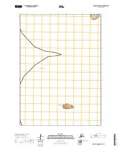
2020 · Pribilof Islands C-5 NE
USGS Topo · 1:25,000
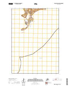
2020 · Pribilof Islands C-4 NW
USGS Topo · 1:25,000