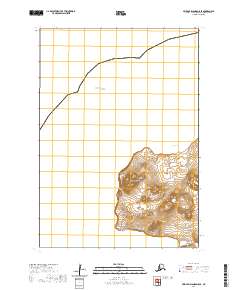
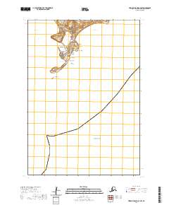
2020 Map of Pribilof Islands D-5 SE
USGS Topo · Published 2020About this map
St. Paul anchors the western edge of the island on the Bering Sea, where the coastal geography is defined by a series of prominent volcanic heights and sheer maritime drops. The landscape rises from the Lincoln Bight to notable elevations such as Rush Hill and the Einahnuhto Hills, which terminate at the coastal Einahnuhto Bluffs. This modern survey illustrates the rugged maritime environment of the Pribilof Islands, showing how the landform transitions from the high peaks of Ridge Hill and Cone Hill down to the sea level features like Antones Island and the Low Bluffs. A single arterial route, SW Point Road, provides the primary overland connection across the southern peninsula, linking the settlement area to distant landmarks like Southwest Point and Northwest Point.
Find a feature on this map
18 named features on this map. Tap any name to fly to it.
Don’t see what you’re looking for? This feature index may not catch every label — zoom into the map to look around manually.
Map Details
Editions of this 2020 Pribilof Islands D-5 SE Map
This is the sole edition of this map. No revisions or reprints were ever made.
Other maps of this area
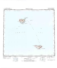
1948 · Pribilof Islands
USGS Topo · 1:250,000
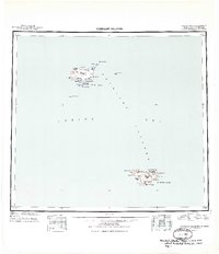
1949 · Pribilof Islands
USGS Topo · 1:250,000
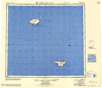
1958 · Pribilof Islands
USGS Topo · 1:250,000
1969 · Pribilof Islands
USGS Topo · 1:250,000
2001 · Saint Paul Island West
USGS Topo · 1:25,000
2020 · Pribilof Islands D-4 SW
USGS Topo · 1:25,000
2020 · Pribilof Islands C-5 NE
USGS Topo · 1:25,000
2020 · Pribilof Islands C-4 NW
USGS Topo · 1:25,000