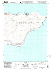
2001 Map of Saint George Island East
USGS Topo · Published 2002About this map
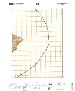
The settlement of St George (Tanadgusix̂) serves as the primary human footprint on this map of the eastern portion of Saint George Island. Located within the Pribilof Islands, the terrain is characterized by high volcanic elevations like Ulakaia Hill and sheer coastal drops such as First Bluff. Indigenous Unangam Tunuu place names are meticulously preserved alongside English labels, reflecting the deep ancestral connection to the land and sea. Ecological significance is central to this location, with the Staraya Artil Rookery and vast Fish And Wildlife Service holdings protected as part of the Alaska Maritime National Wildlife Refuge. Smaller features like the Cem, a Quarry, and the Fed Res indicate the infrastructure supporting this remote community, while water bodies such as Bear Lake and Upper Lake dot the interior landscape.
Find a feature on this map
26 named features on this map. Tap any name to fly to it.
Don’t see what you’re looking for? This feature index may not catch every label — zoom into the map to look around manually.
Map Details
Editions of this 2001 Saint George Island East Map
This is the sole edition of this map. No revisions or reprints were ever made.
Other maps of this area
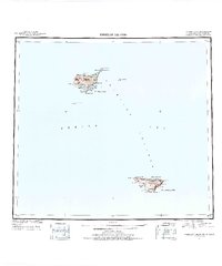
1948 · Pribilof Islands
USGS Topo · 1:250,000
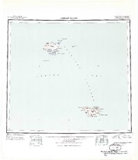
1949 · Pribilof Islands
USGS Topo · 1:250,000
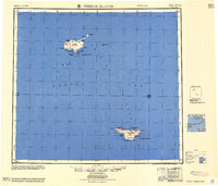
1958 · Pribilof Islands
USGS Topo · 1:250,000
1969 · Pribilof Islands
USGS Topo · 1:250,000
2001 · Saint George Island West
USGS Topo · 1:25,000
2020 · Pribilof Islands A-2 NW
USGS Topo · 1:25,000
2020 · Pribilof Islands A-2 SW
USGS Topo · 1:25,000

2020 · Pribilof Islands A-2 SE
USGS Topo · 1:25,000
2020 · Pribilof Islands A-2 NE
USGS Topo · 1:25,000