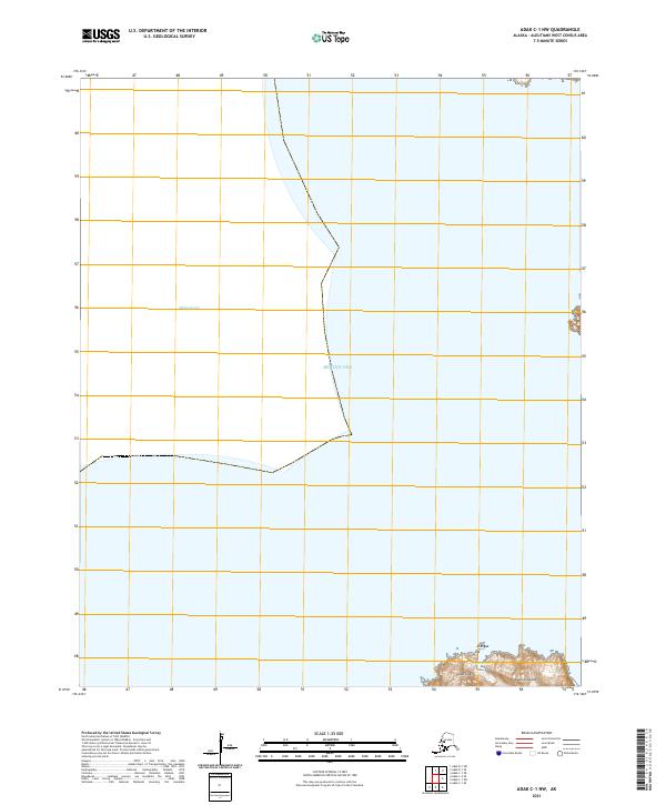
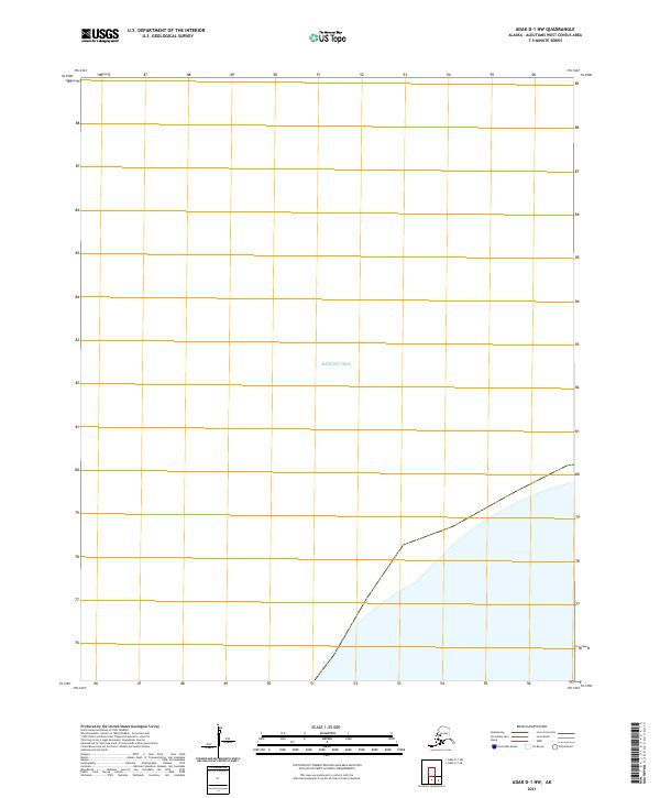
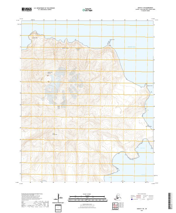
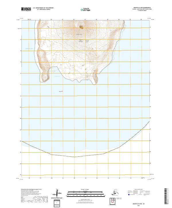
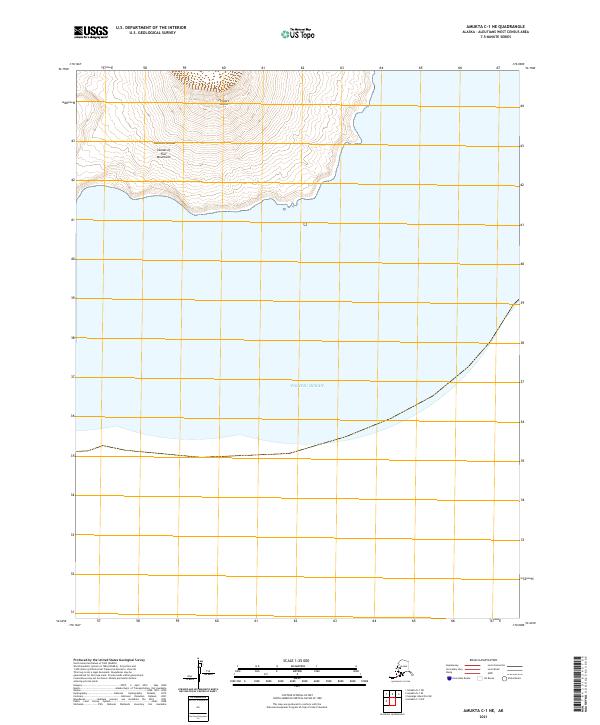
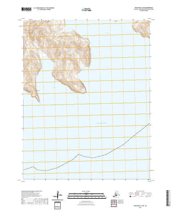
2020 Map of Pribilof Islands A-2 NE
USGS Topo · Published 2020About this map
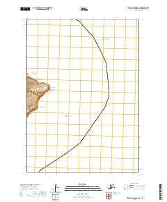
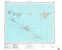
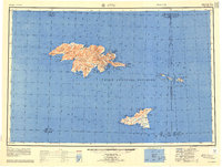
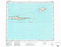
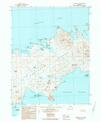
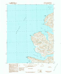
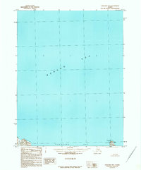
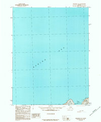
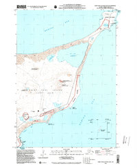
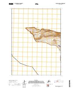
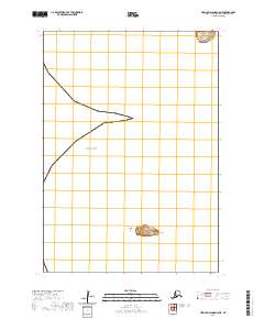
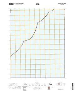
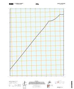
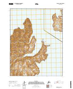
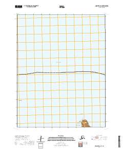
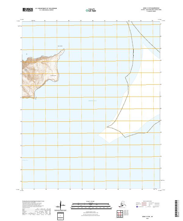
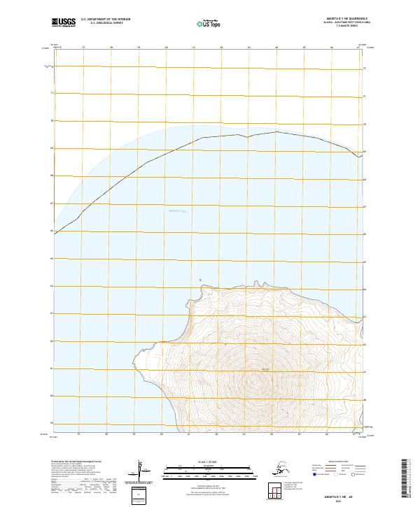
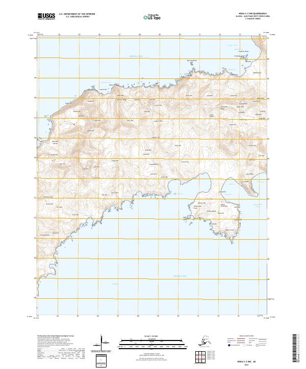
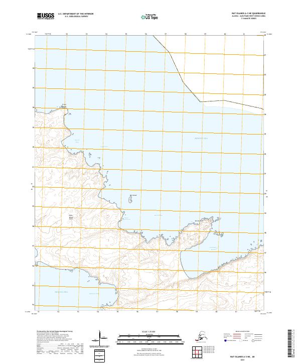
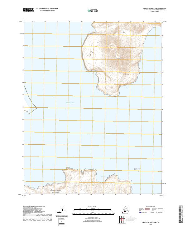
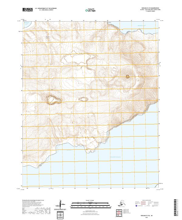
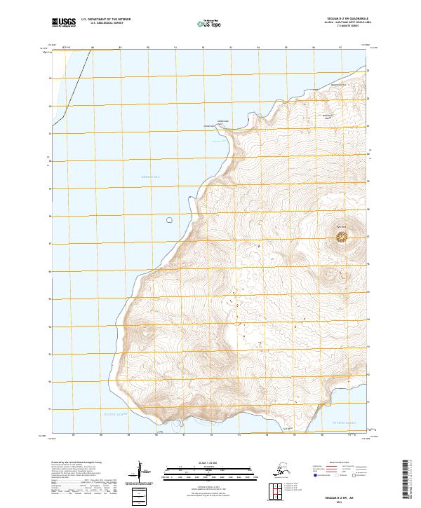
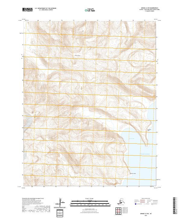
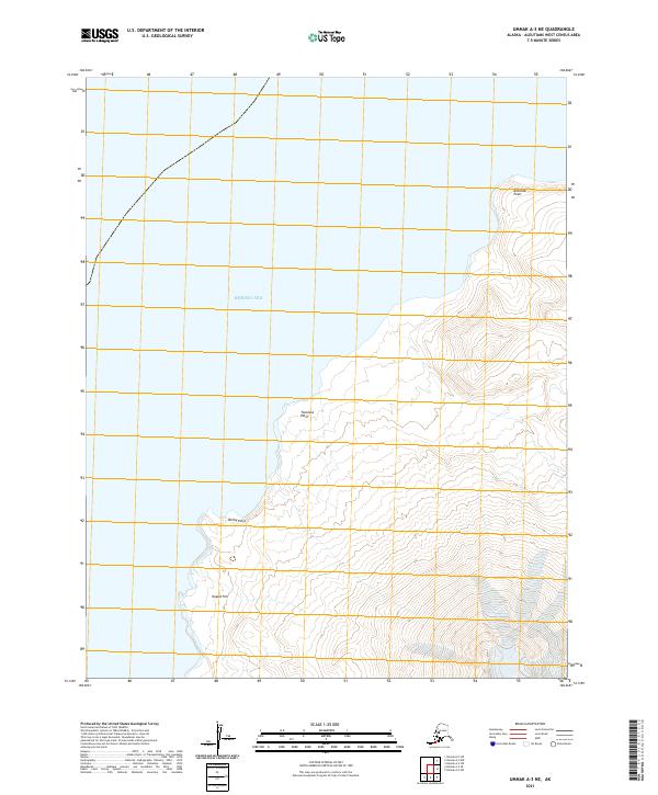
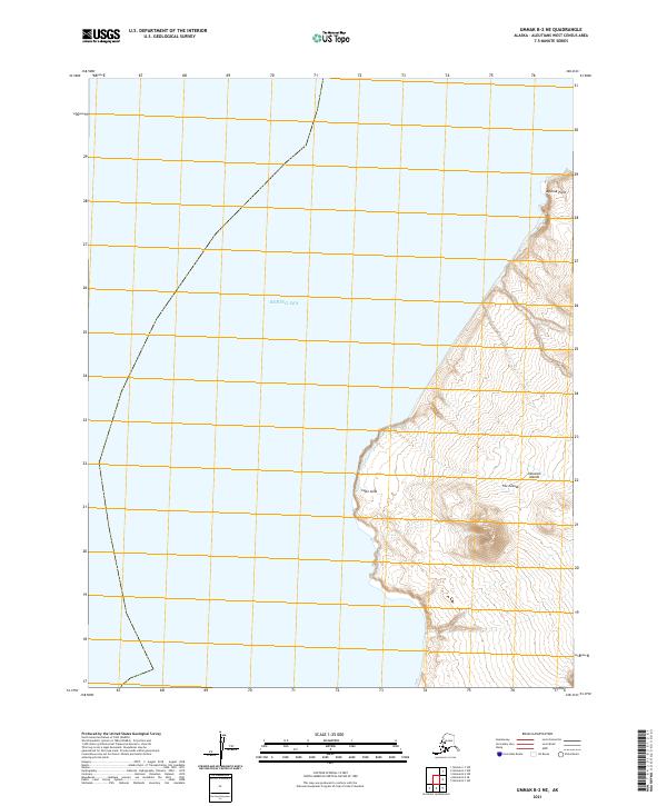
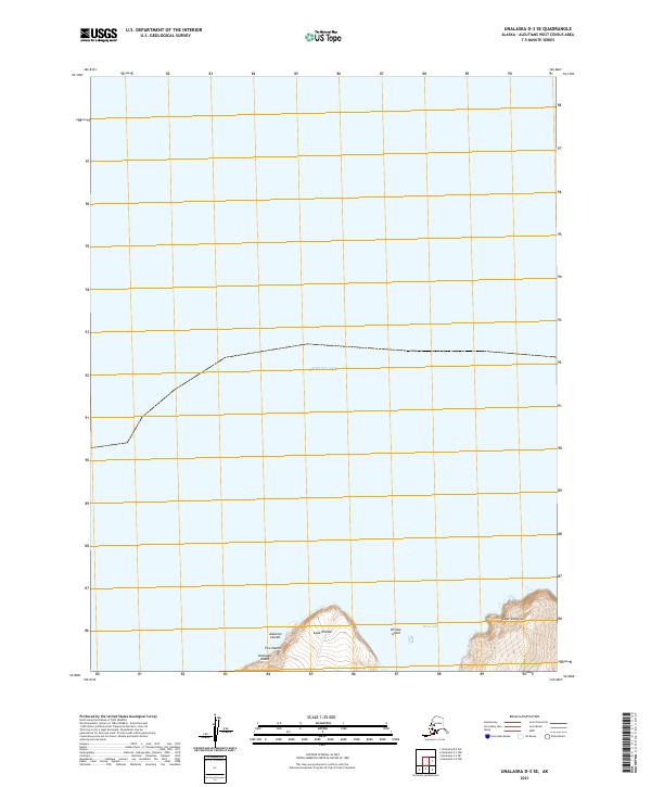
North Sealion Hill anchors the western edge of this coastal survey, rising above the island landscape where the land meets the Bering Sea. The topography is defined by sharp coastal transitions, most notably at Stepanutcha Cliff and the narrow corridor of Sealion Neck. This 2020 map documents the unique Aleut geographic nomenclature of the Pribilof region, preserving names such as Yar'am-anatu'ulug and Anagchucknun'a. The coastline is jagged and punctuated by prominent features like Tolstoi Point and Ularakartha Point, which serve as significant markers for navigating these remote island waters. The layout reflects the intersection of maritime environment and precise land surveying in the Aleutians West Census Area.
Find a feature on this map
12 named features on this map. Tap any name to fly to it.
Don’t see what you’re looking for? This feature index may not catch every label — zoom into the map to look around manually.
Map Details
Editions of this 2020 Pribilof Islands A-2 NE Map
This is the sole edition of this map. No revisions or reprints were ever made.
Historical Maps of St. George Through Time
320 maps found
1948 Pribilof Islands
Aleutians West Borough, AK

1949 Pribilof Islands
Aleutians West Borough, AK
1951 Amukta
Aleutians West Borough, AK

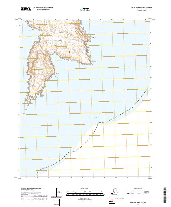
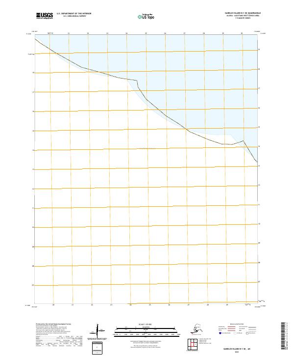
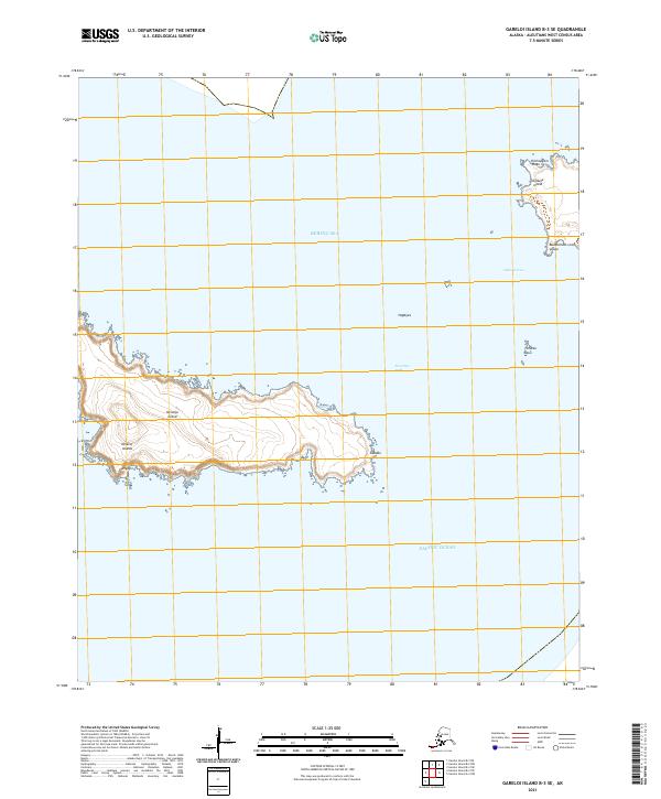
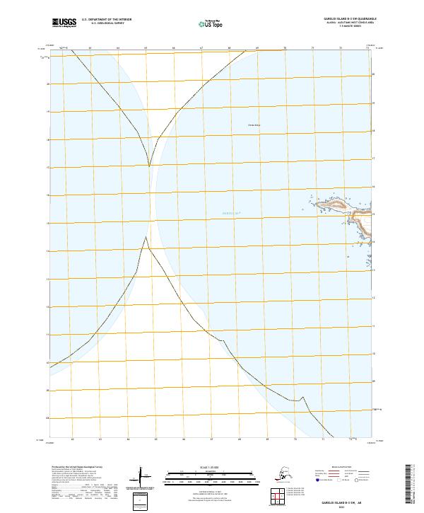
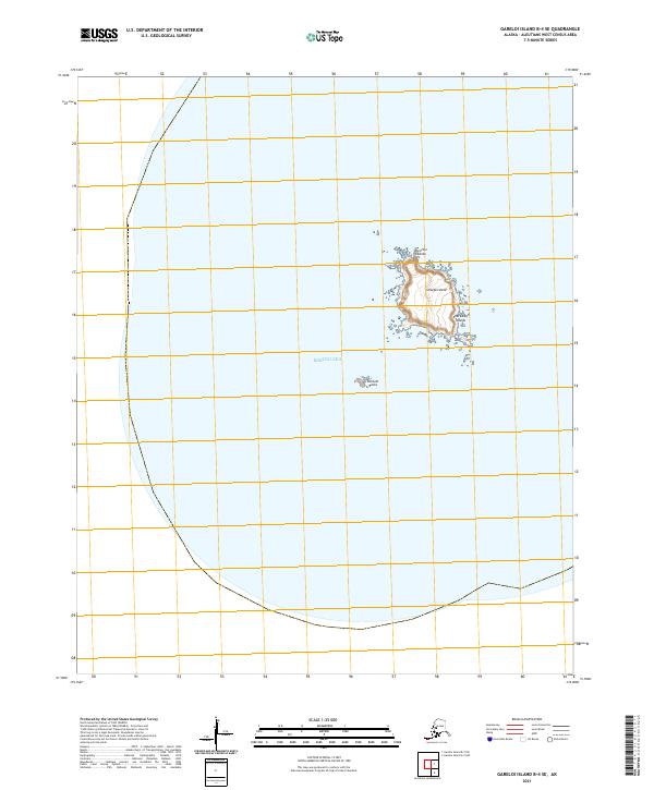
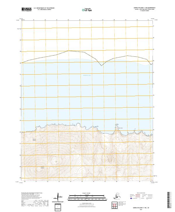
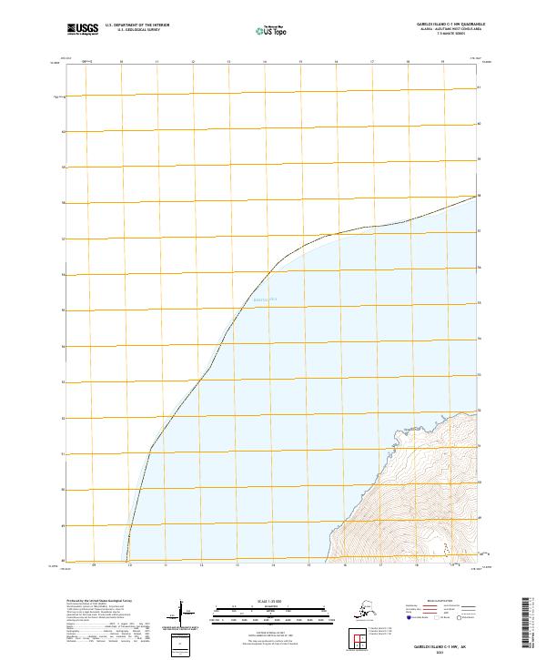
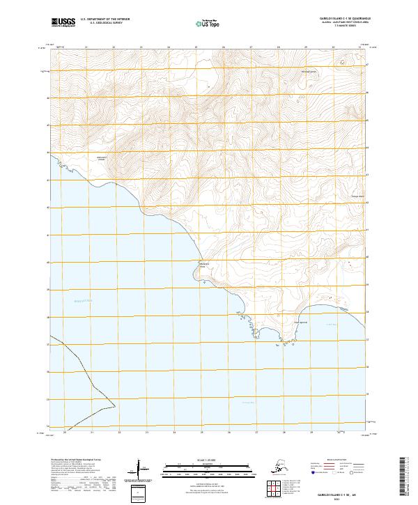
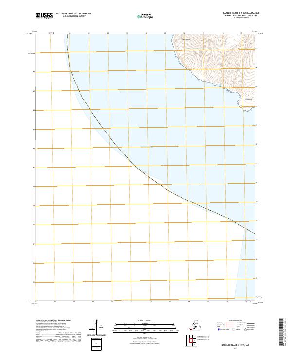
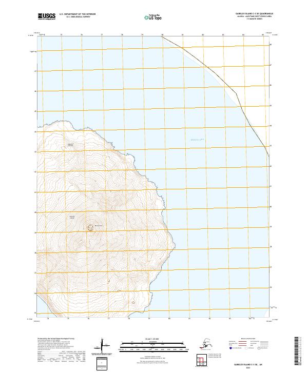
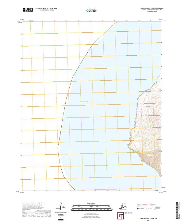
1951 Gareloi Island
Aleutians West Borough, AK
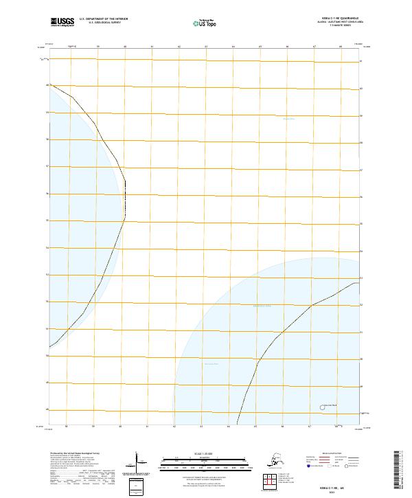
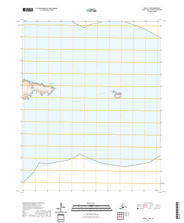
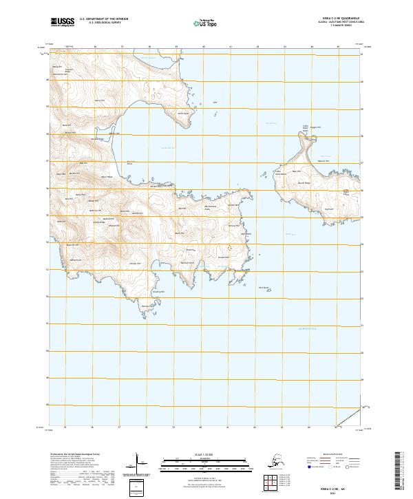
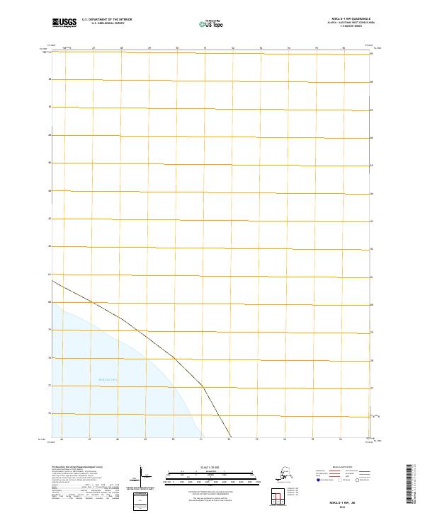
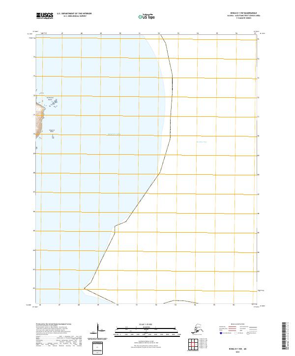
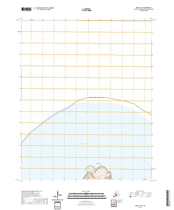
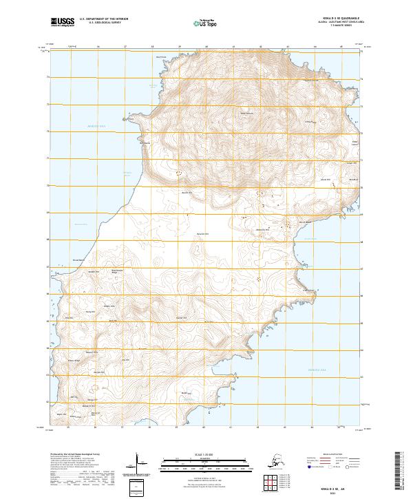
1951 Kiska
Aleutians West Borough, AK
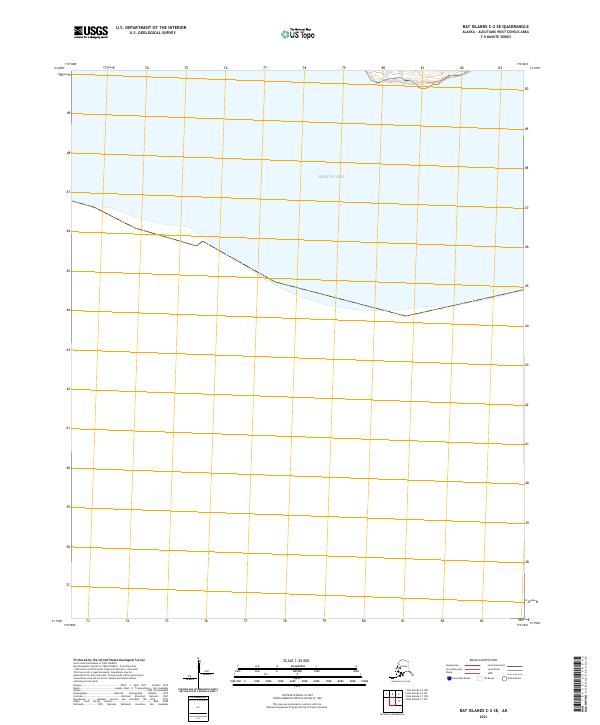
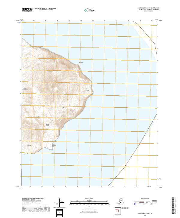
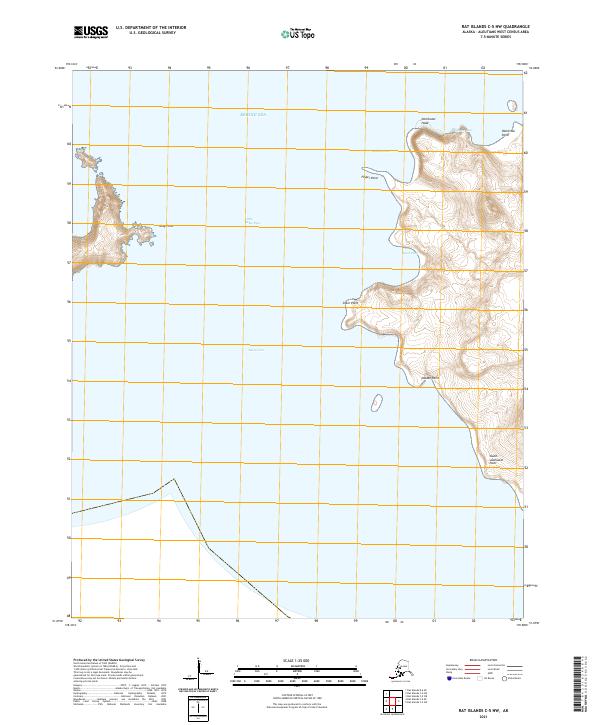
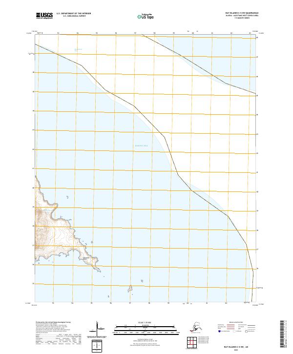
1951 Rat Islands
Aleutians West Borough, AK
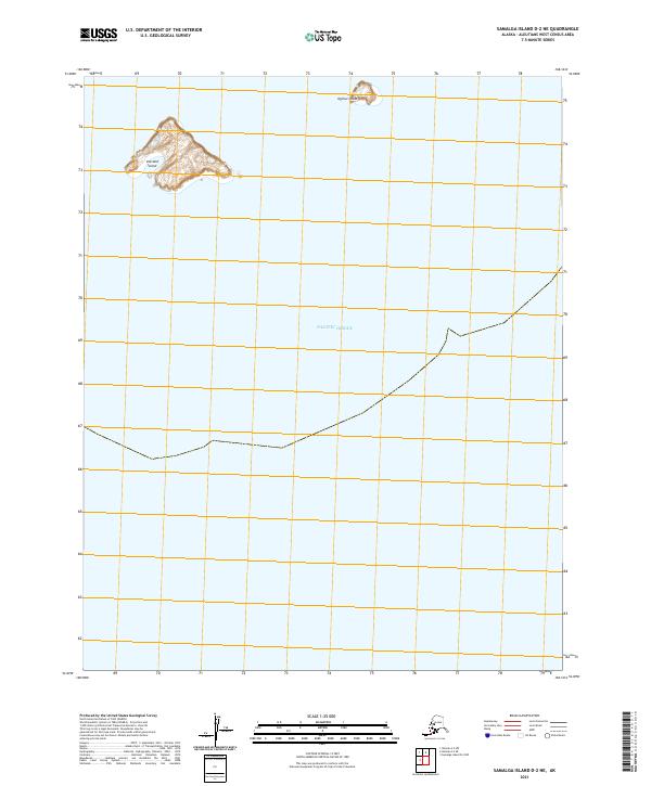
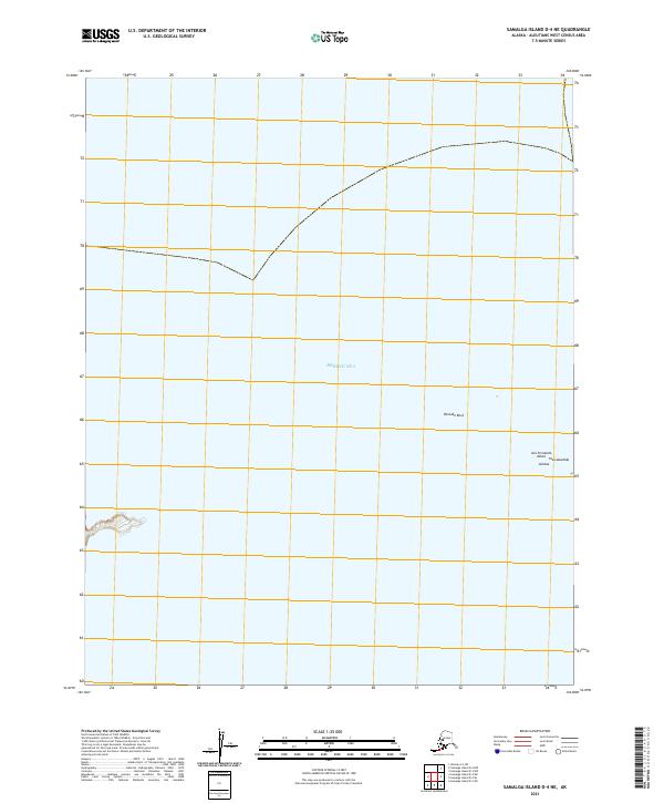
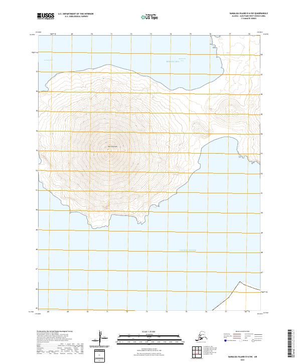
1951 Samalga Island
Aleutians West Borough, AK
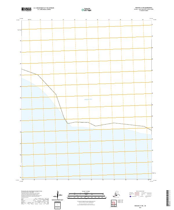
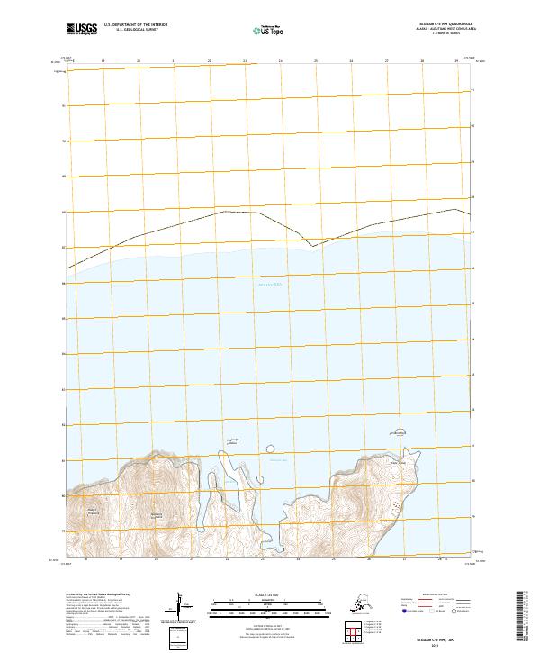
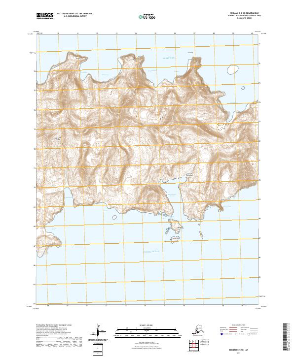
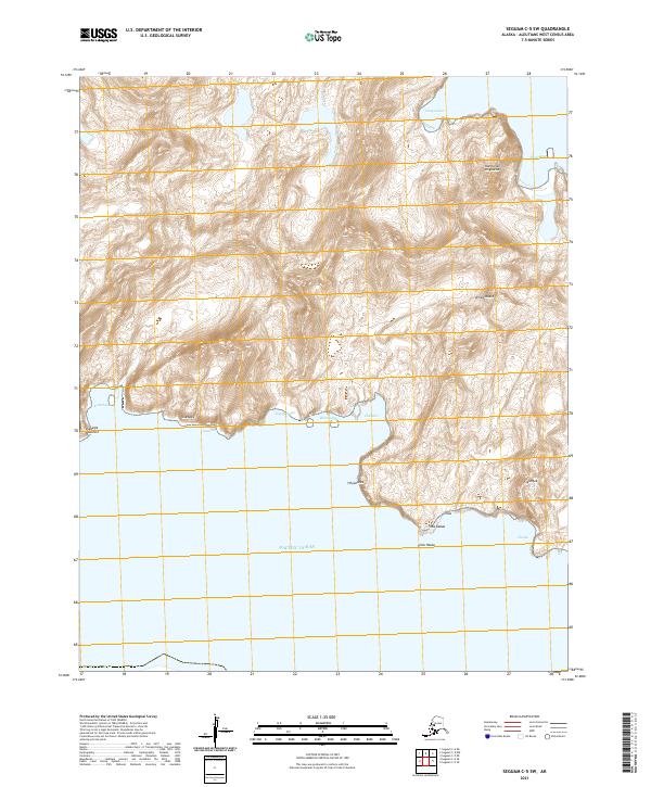
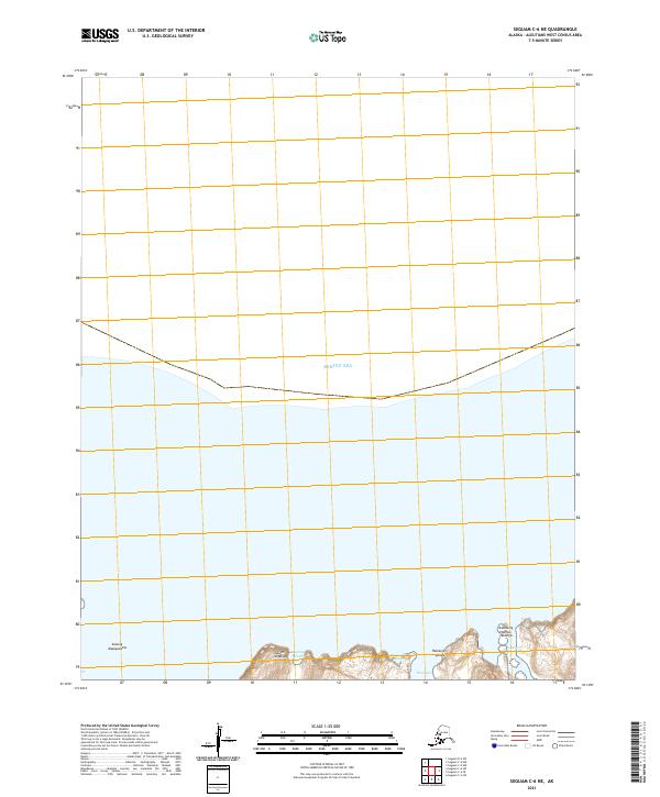
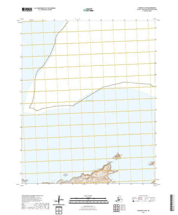
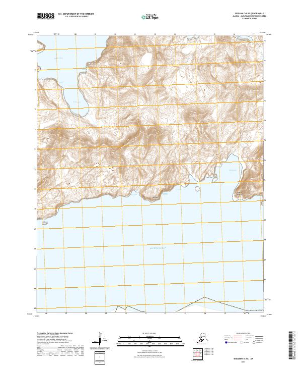
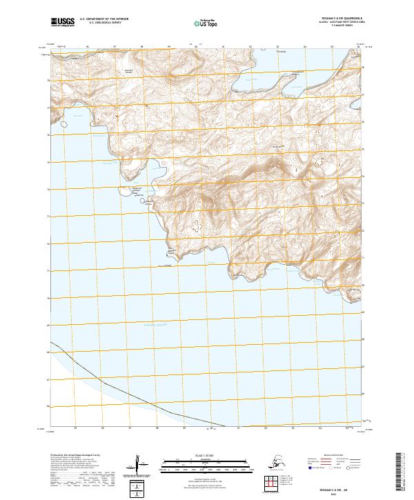
1951 Seguam
Aleutians West Borough, AK
1951 Umnak
Aleutians West Borough, AK
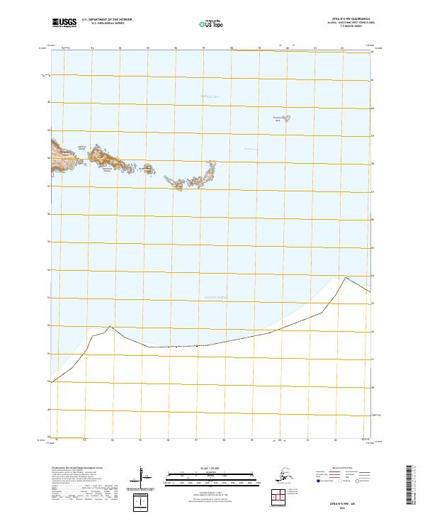
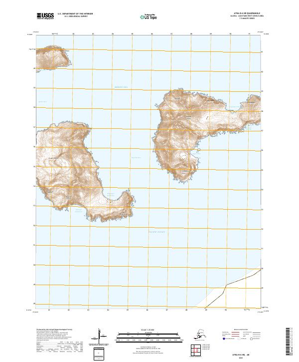
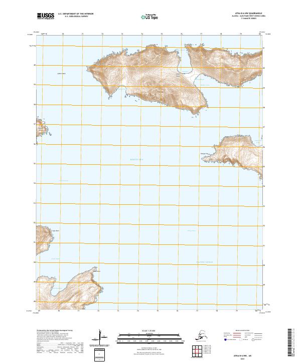
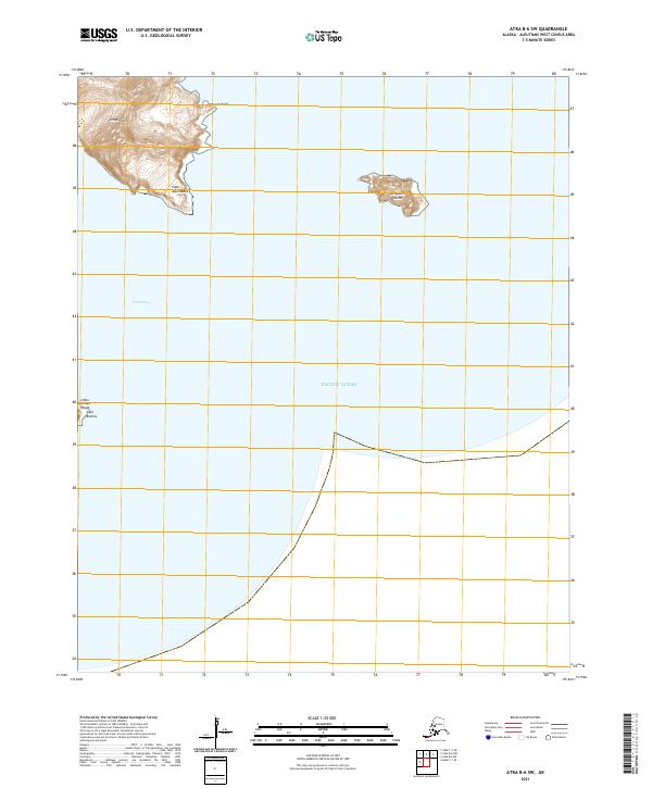
1952 Attu
Aleutians West Borough, AK
1953 Attu
Aleutians West Borough, AK
1954 Gareloi Island
Aleutians West Borough, AK
1958 Kiska
Aleutians West Borough, AK

1958 Pribilof Islands
Aleutians West Borough, AK

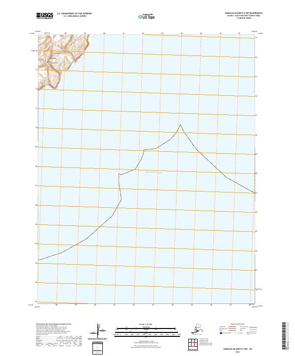
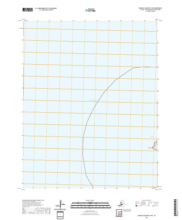
1958 Samalga Island
Aleutians West Borough, AK
1958 Seguam
Aleutians West Borough, AK

1958 Umnak
Aleutians West Borough, AK

1969 Pribilof Islands
Aleutians West Borough, AK
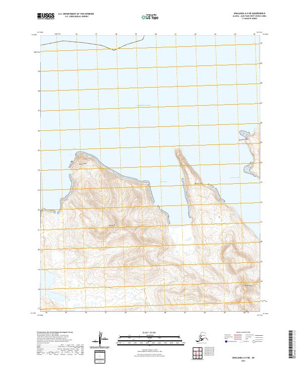
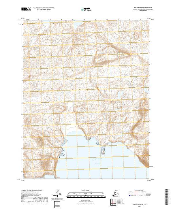
1989 Unalaska A-2
Aleutians West Borough, AK
1989 Unalaska A-3
Aleutians West Borough, AK
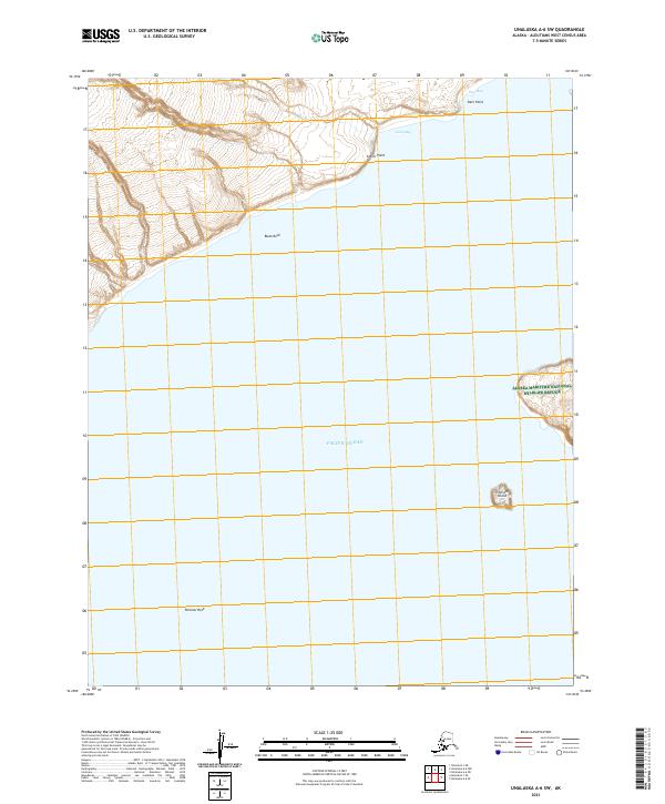
1989 Unalaska A-4
Aleutians West Borough, AK
1989 Unalaska A-5
Aleutians West Borough, AK
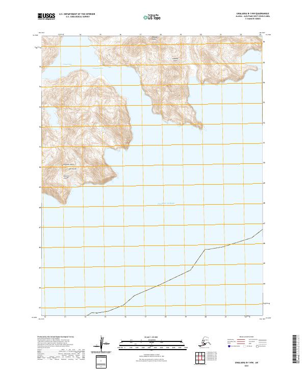
1989 Unalaska B-1
Aleutians West Borough, AK
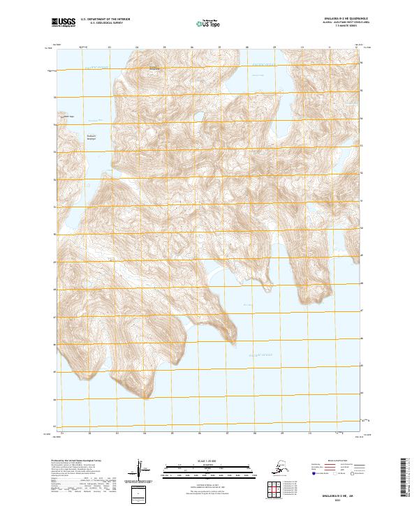
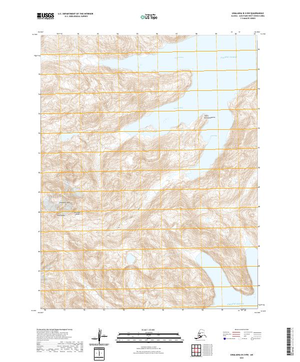
1989 Unalaska B-2
Aleutians West Borough, AK
1989 Unalaska B-3
Aleutians West Borough, AK
1989 Unalaska B-4
Aleutians West Borough, AK
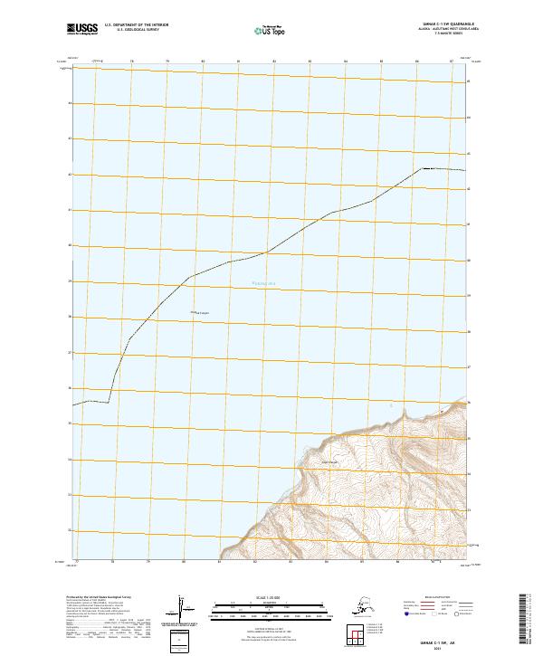
1989 Unalaska C-1
Aleutians West Borough, AK
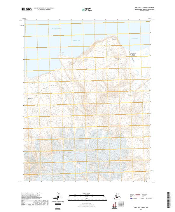
1989 Unalaska C-3
Aleutians West Borough, AK
1989 Unalaska C-4
Aleutians West Borough, AK
1989 Unalaska D-2
Aleutians West Borough, AK
1989 Unalaska D-3
Aleutians West Borough, AK

1990 Unalaska C-2
Aleutians West Borough, AK
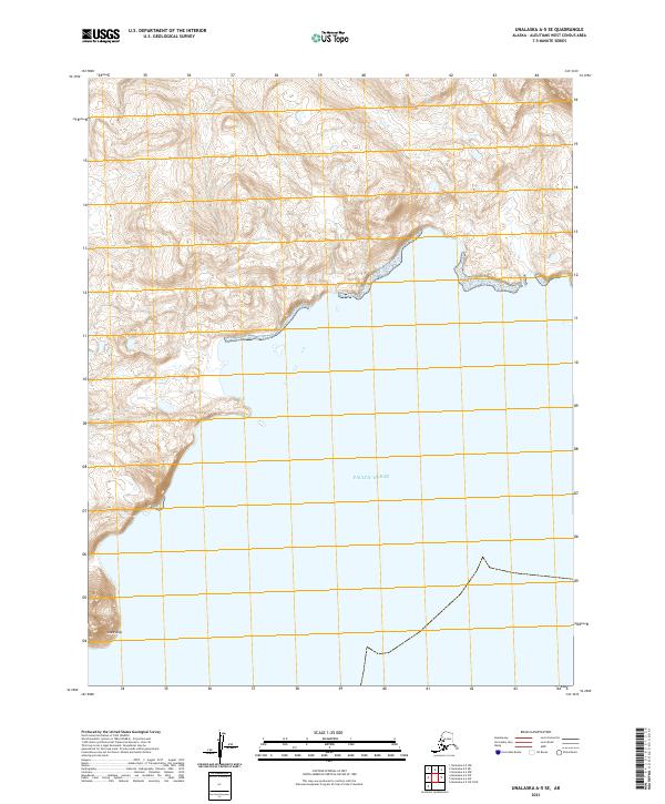
2001 Saint George Island East
Aleutians West Borough, AK
2001 Saint George Island West
Aleutians West Borough, AK
2001 Saint Paul Island East
Aleutians West Borough, AK

2001 Saint Paul Island West
Aleutians West Borough, AK
2020 Pribilof Islands A-2 NE
Aleutians West Borough, AK
2020 Pribilof Islands A-2 NW
Aleutians West Borough, AK
2020 Pribilof Islands A-2 SE
Aleutians West Borough, AK
2020 Pribilof Islands A-2 SW
Aleutians West Borough, AK
2020 Pribilof Islands A-3 NE
Aleutians West Borough, AK
2020 Pribilof Islands A-3 SE
Aleutians West Borough, AK

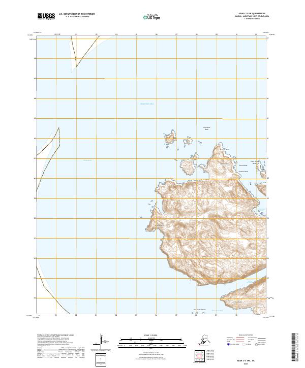
2020 Pribilof Islands C-3 NW
Aleutians West Borough, AK
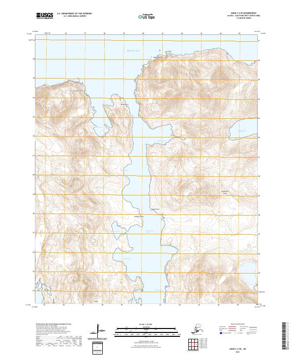
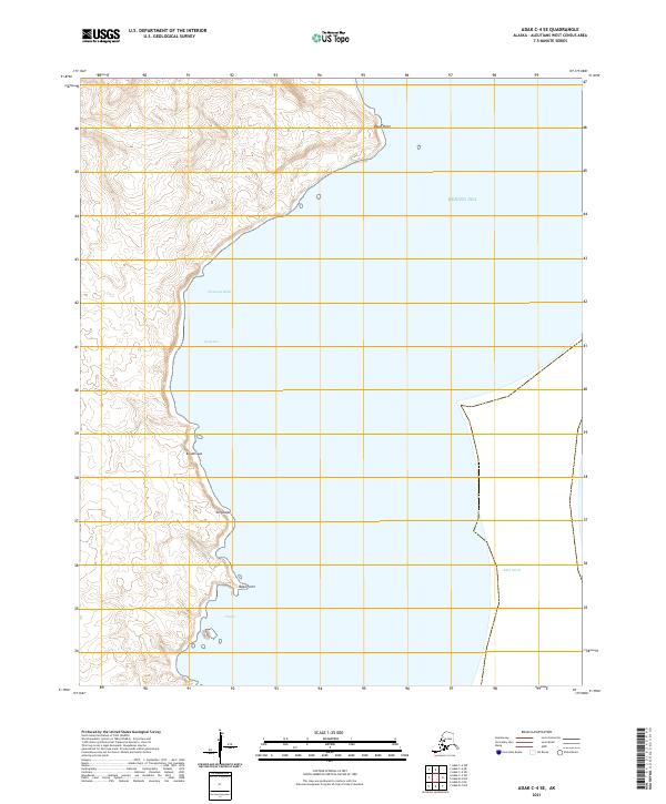
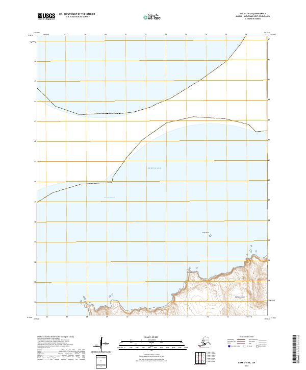
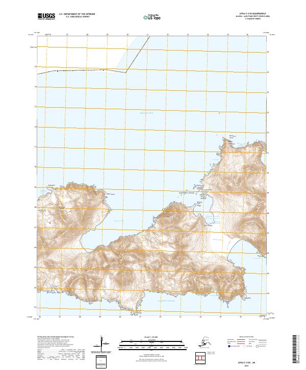
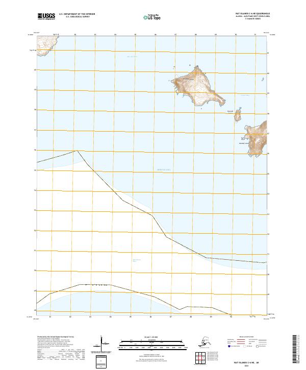
2020 Pribilof Islands C-4 NE
Aleutians West Borough, AK
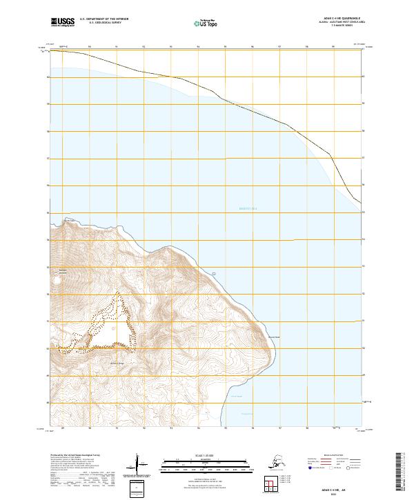
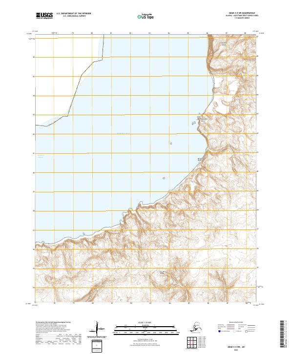
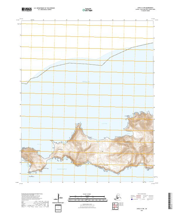
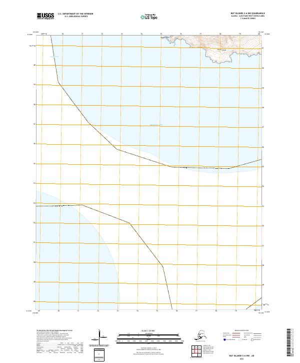
2020 Pribilof Islands C-4 NW
Aleutians West Borough, AK
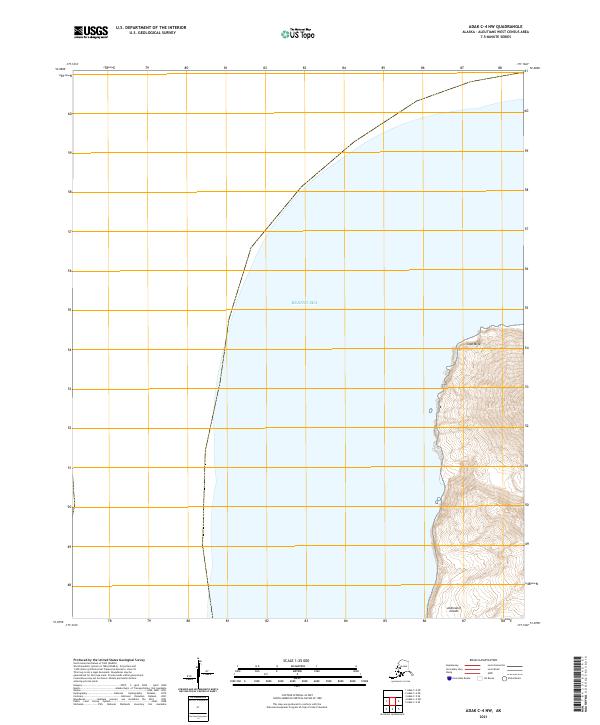
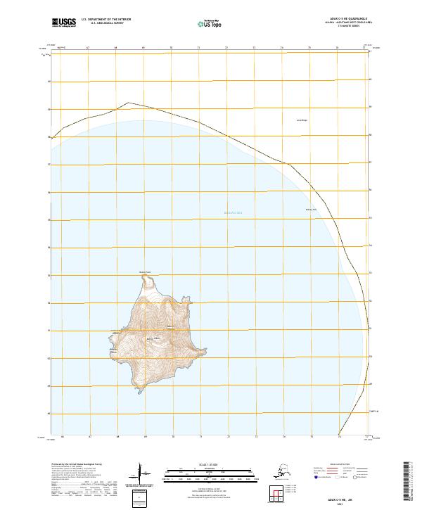
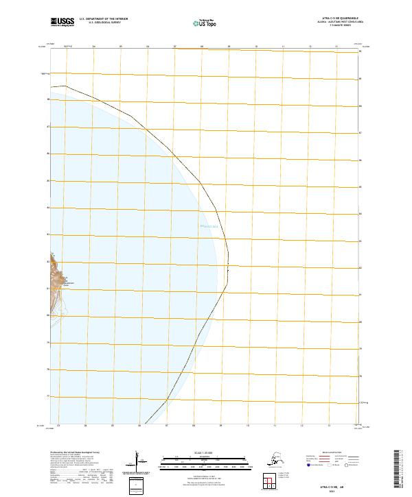
2020 Pribilof Islands C-5 NE
Aleutians West Borough, AK
2020 Pribilof Islands D-4 SE
Aleutians West Borough, AK
2020 Pribilof Islands D-4 SW
Aleutians West Borough, AK
2020 Pribilof Islands D-5 SE
Aleutians West Borough, AK
2020 Unalaska B-1 NE
Aleutians West Borough, AK
2020 Unalaska B-2 SE
Aleutians West Borough, AK
2020 Unalaska C-1 NW
Aleutians West Borough, AK
2020 Unalaska D-2 SE
Aleutians West Borough, AK
2020 Unalaska D-2 SW
Aleutians West Borough, AK
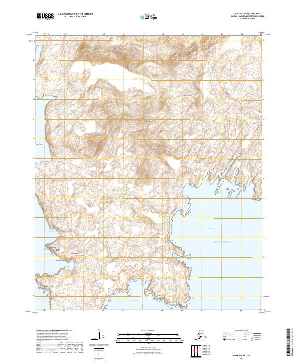
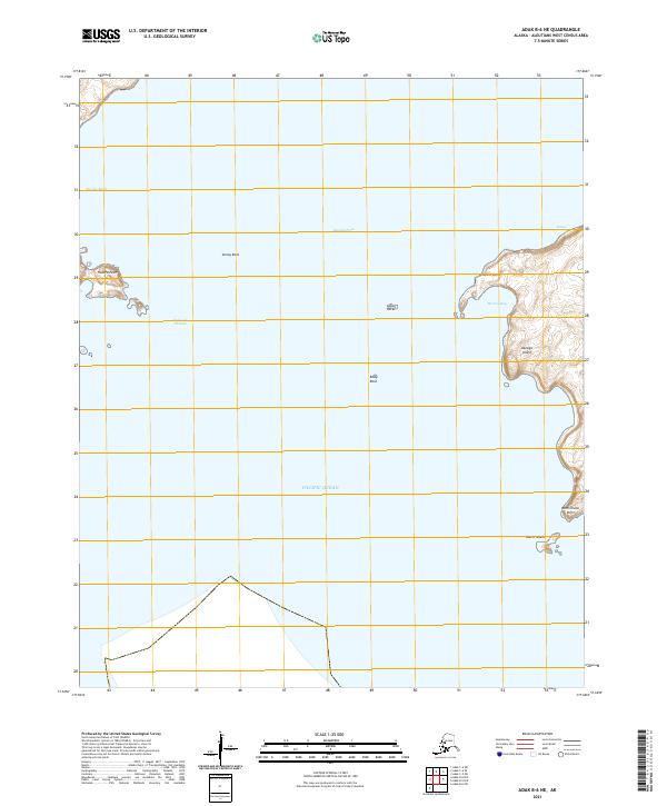
2021 Adak B-1 NW
Aleutians West Borough, AK
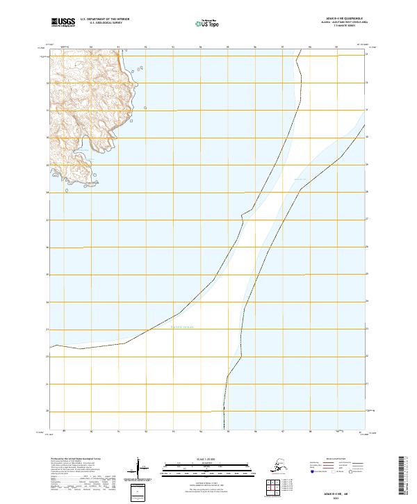
2021 Adak B-2 NE
Aleutians West Borough, AK
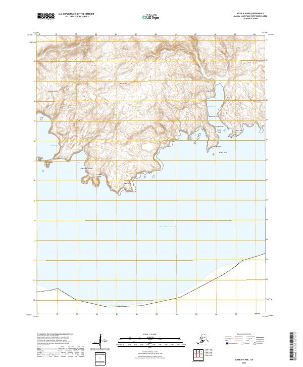
2021 Adak B-2 NW
Aleutians West Borough, AK
2021 Adak B-3 NE
Aleutians West Borough, AK
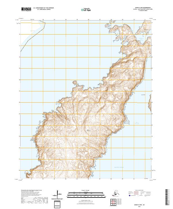
2021 Adak B-3 NW
Aleutians West Borough, AK
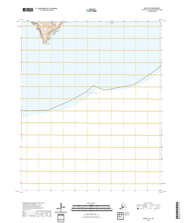
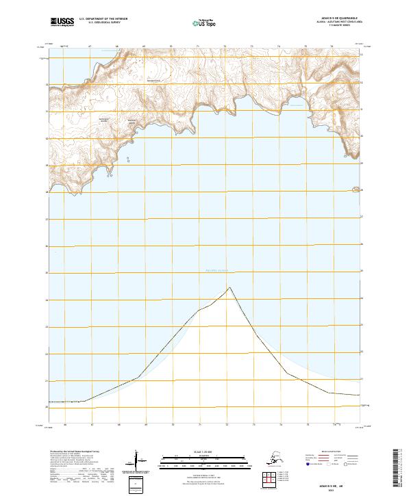
2021 Adak B-3 SE
Aleutians West Borough, AK
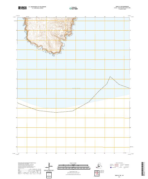
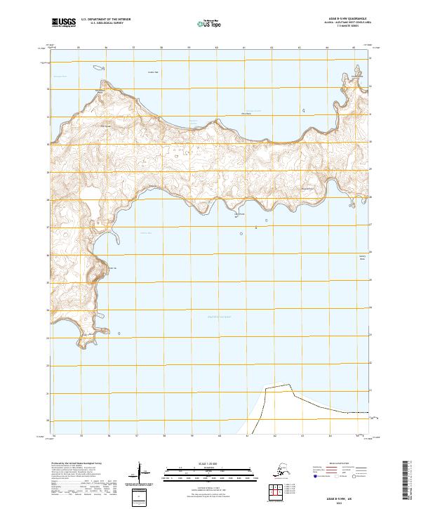
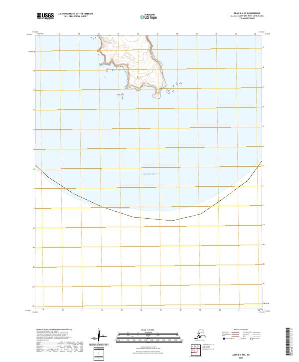
2021 Adak B-3 SW
Aleutians West Borough, AK
2021 Adak B-4 NE
Aleutians West Borough, AK
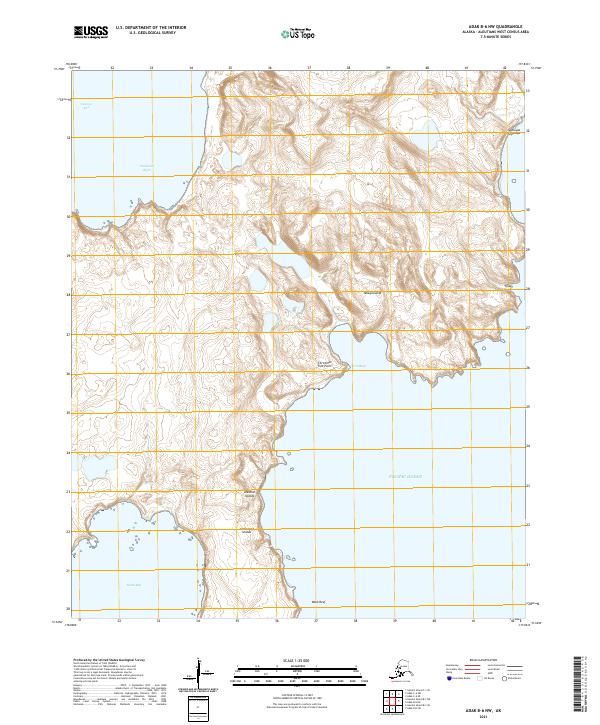
2021 Adak B-4 NW
Aleutians West Borough, AK
2021 Adak B-5 NE
Aleutians West Borough, AK
2021 Adak B-5 NW
Aleutians West Borough, AK
2021 Adak B-6 NE
Aleutians West Borough, AK
2021 Adak B-6 NW
Aleutians West Borough, AK
2021 Adak B-6 SW
Aleutians West Borough, AK
2021 Adak C-1 NE
Aleutians West Borough, AK
2021 Adak C-1 NW
Aleutians West Borough, AK
2021 Adak C-1 SE
Aleutians West Borough, AK
2021 Adak C-1 SW
Aleutians West Borough, AK

2021 Adak C-2 NW
Aleutians West Borough, AK
2021 Adak C-2 OE N SW
Aleutians West Borough, AK
2021 Adak C-2 SE
Aleutians West Borough, AK

2021 Adak C-2 SW
Aleutians West Borough, AK

2021 Adak C-3 NE
Aleutians West Borough, AK

2021 Adak C-3 SE
Aleutians West Borough, AK
2021 Adak C-3 SW
Aleutians West Borough, AK
2021 Adak C-4 NE
Aleutians West Borough, AK
2021 Adak C-4 NW
Aleutians West Borough, AK
2021 Adak C-4 SE
Aleutians West Borough, AK
2021 Adak C-4 SW
Aleutians West Borough, AK
2021 Adak C-5 NE
Aleutians West Borough, AK
2021 Adak C-5 SE
Aleutians West Borough, AK
2021 Adak C-5 SW
Aleutians West Borough, AK
2021 Adak C-6 NW
Aleutians West Borough, AK
2021 Adak C-6 SE
Aleutians West Borough, AK
2021 Adak C-6 SW
Aleutians West Borough, AK
2021 Adak D-1 NW
Aleutians West Borough, AK
2021 Adak D-1 SE
Aleutians West Borough, AK

2021 Adak D-1 SW
Aleutians West Borough, AK
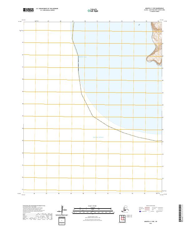
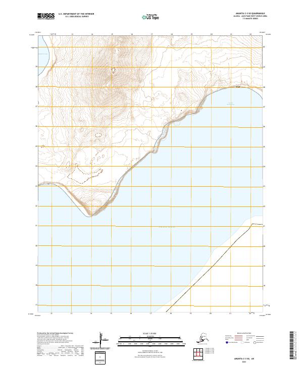
2021 Amukta B-4 NW
Aleutians West Borough, AK
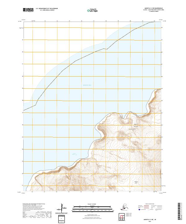
2021 Amukta C-1 NE
Aleutians West Borough, AK
2021 Amukta C-1 NW
Aleutians West Borough, AK
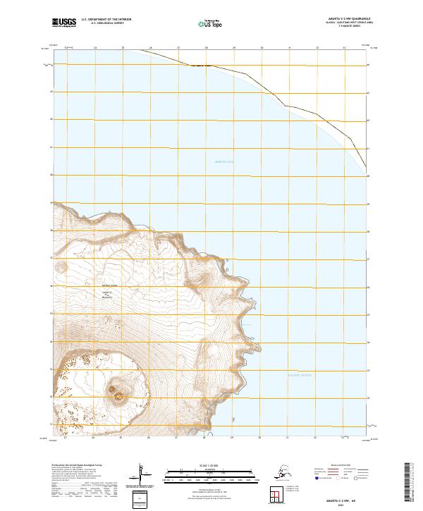
2021 Amukta C-2 NW
Aleutians West Borough, AK
2021 Amukta C-2 SW
Aleutians West Borough, AK
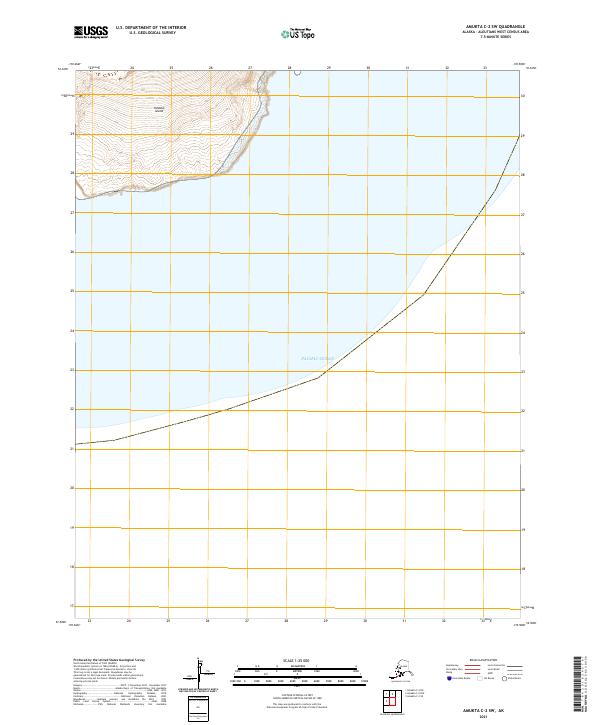
2021 Amukta C-3 NE
Aleutians West Borough, AK
2021 Amukta C-3 SE
Aleutians West Borough, AK
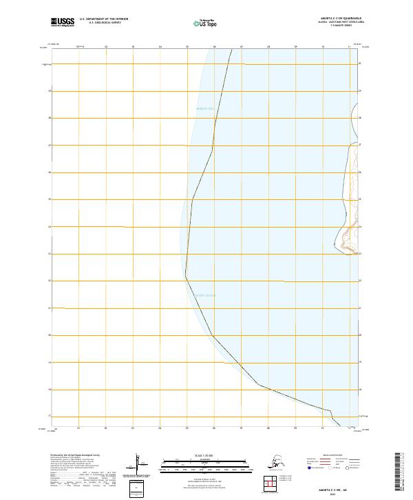
2021 Amukta C-3 SW
Aleutians West Borough, AK
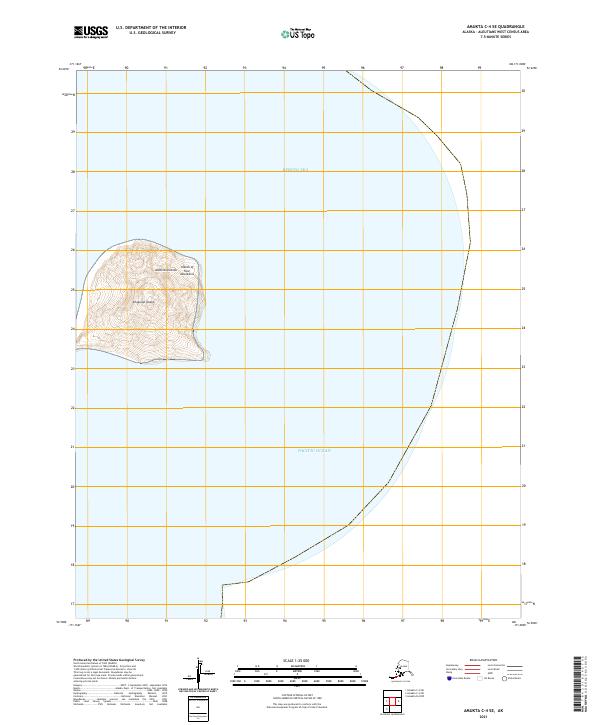
2021 Amukta C-4 SE
Aleutians West Borough, AK
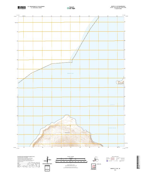
2021 Amukta C-4 SW
Aleutians West Borough, AK
2021 Amukta D-1 NE
Aleutians West Borough, AK
2021 Amukta D-1 SE
Aleutians West Borough, AK
2021 Amukta D-1 SW
Aleutians West Borough, AK
2021 Atka B-5 NE
Aleutians West Borough, AK
2021 Atka B-5 NW
Aleutians West Borough, AK
2021 Atka B-6 NE
Aleutians West Borough, AK
2021 Atka B-6 NW
Aleutians West Borough, AK
2021 Atka B-6 SW
Aleutians West Borough, AK

2021 Atka C-1 NE
Aleutians West Borough, AK

2021 Atka C-1 NW
Aleutians West Borough, AK
2021 Atka C-1 SE
Aleutians West Borough, AK
2021 Atka C-1 SW
Aleutians West Borough, AK
2021 Atka C-2 NE
Aleutians West Borough, AK
2021 Atka C-2 NW
Aleutians West Borough, AK
2021 Atka C-2 SE
Aleutians West Borough, AK
2021 Atka C-2 SW
Aleutians West Borough, AK
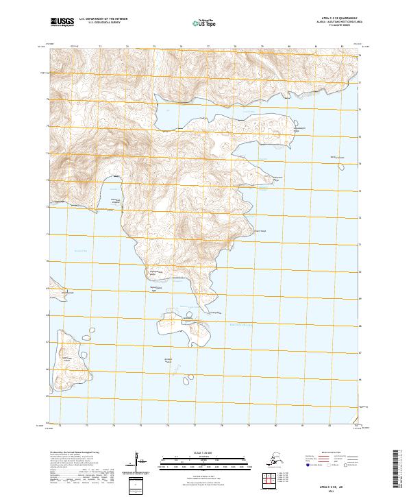
2021 Atka C-3 SE
Aleutians West Borough, AK
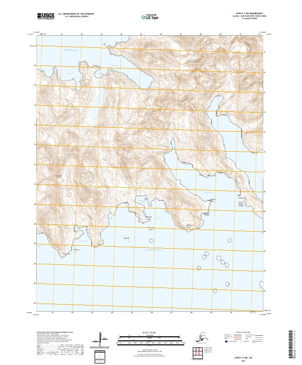
2021 Atka C-3 SW
Aleutians West Borough, AK
2021 Atka C-4 SE
Aleutians West Borough, AK
2021 Atka C-4 SW
Aleutians West Borough, AK
2021 Atka C-5 NE
Aleutians West Borough, AK
2021 Atka C-5 NW
Aleutians West Borough, AK
2021 Atka C-5 SE
Aleutians West Borough, AK

2021 Atka C-6 SW
Aleutians West Borough, AK
2021 Atka D-1 NE
Aleutians West Borough, AK
2021 Atka D-1 NW
Aleutians West Borough, AK

2021 Atka D-1 SE
Aleutians West Borough, AK

2021 Atka D-1 SW
Aleutians West Borough, AK
2021 Atka D-2 NE
Aleutians West Borough, AK
2021 Atka D-2 SE
Aleutians West Borough, AK

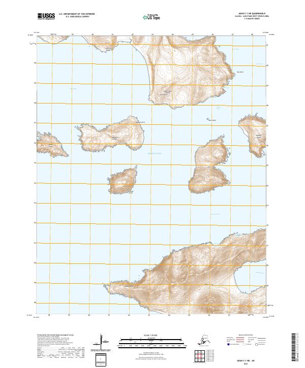
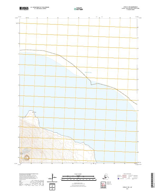
2021 Attu A-1 NW
Aleutians West Borough, AK
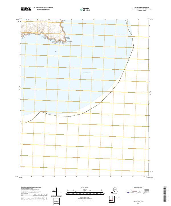
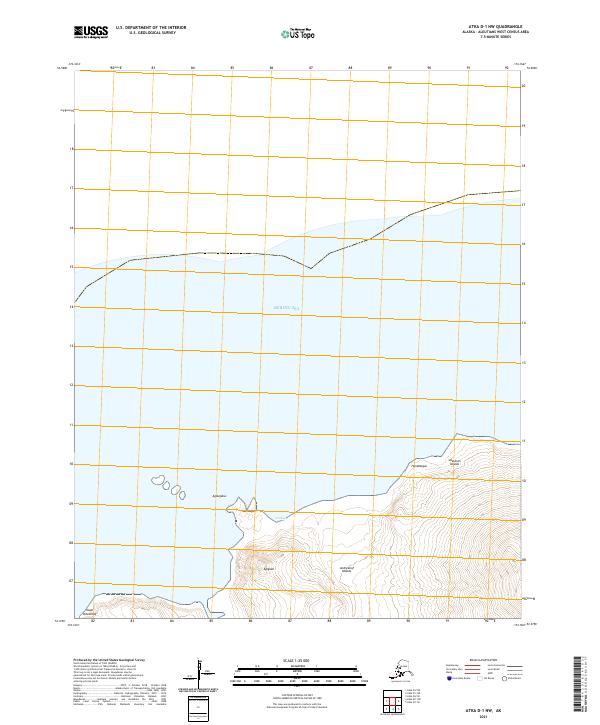
2021 Attu A-1 SW
Aleutians West Borough, AK
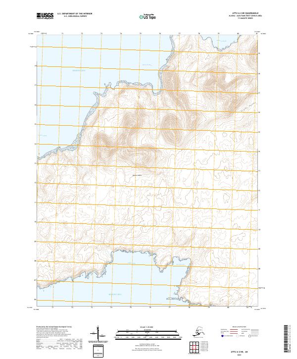
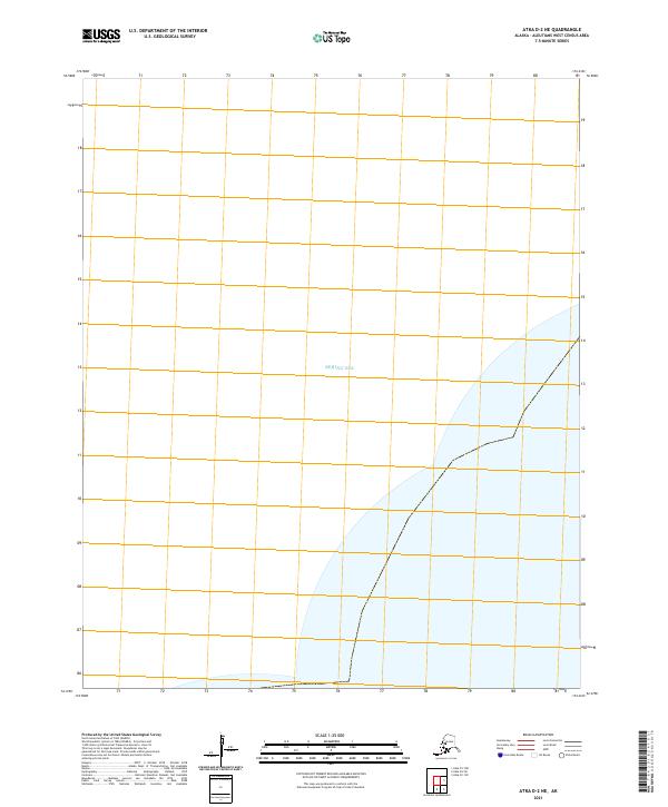
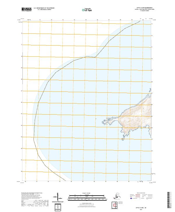
2021 Attu A-2 NE
Aleutians West Borough, AK
2021 Attu A-2 NW
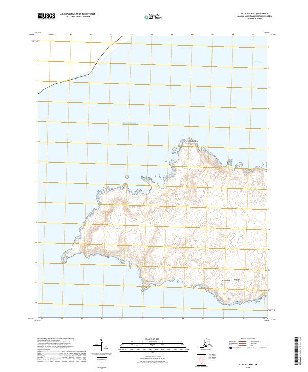
Aleutians West Borough, AK
2021 Attu A-2 SE
Aleutians West Borough, AK
2021 Attu A-2 SW
Aleutians West Borough, AK
2021 Attu B-0 NW
Aleutians West Borough, AK
2021 Attu B-1 NE
Aleutians West Borough, AK
2021 Attu B-1 SW
Aleutians West Borough, AK
2021 Attu B-2 SE
Aleutians West Borough, AK
2021 Attu C-0 SW
Aleutians West Borough, AK
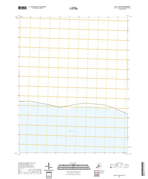
2021 Attu C-1 SE
Aleutians West Borough, AK
2021 Attu C-2 NW
Aleutians West Borough, AK
2021 Attu C-2 SW
Aleutians West Borough, AK

2021 Attu C-3 NE
Aleutians West Borough, AK
2021 Attu C-3 NW
Aleutians West Borough, AK
2021 Attu C-3 OE N SE
Aleutians West Borough, AK
2021 Attu C-3 OE N SW
Aleutians West Borough, AK
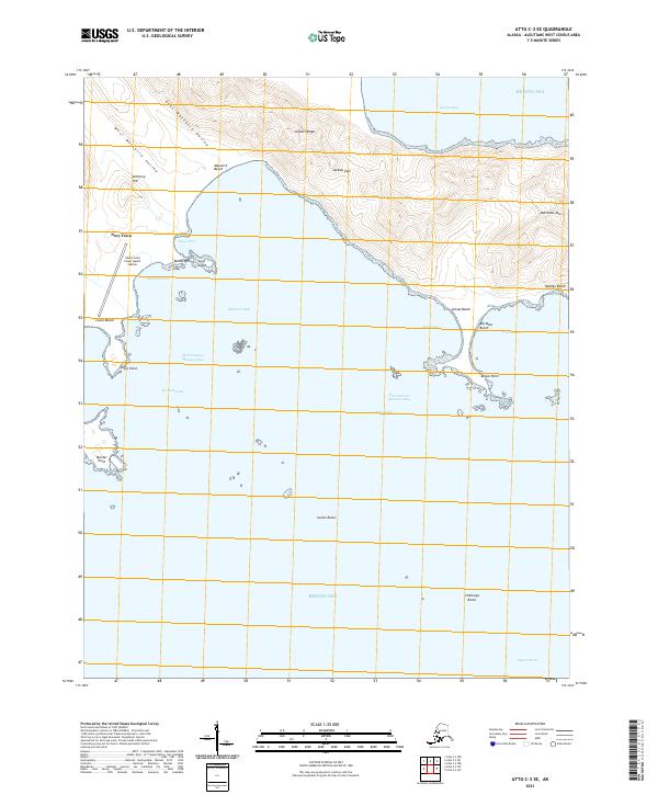
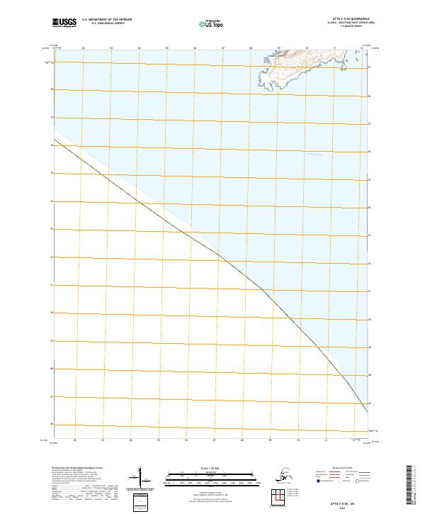
2021 Attu C-3 SE
Aleutians West Borough, AK
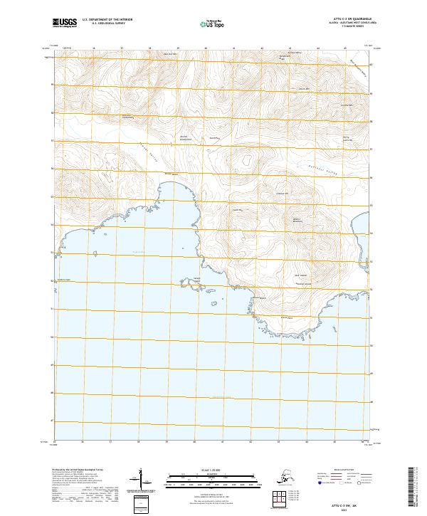
2021 Attu C-3 SW
Aleutians West Borough, AK
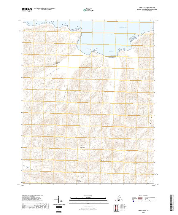
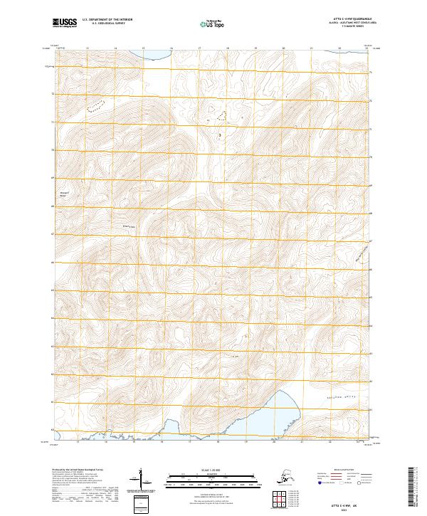
2021 Attu C-4 NE
Aleutians West Borough, AK
2021 Attu C-4 NW
Aleutians West Borough, AK
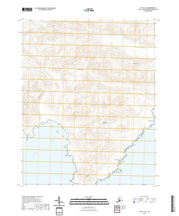
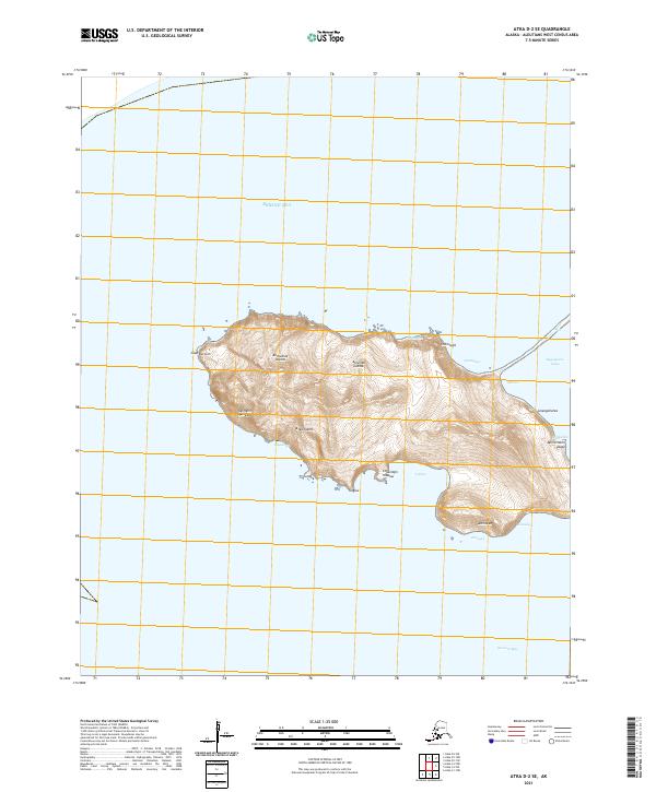
2021 Attu C-4 SE
Aleutians West Borough, AK
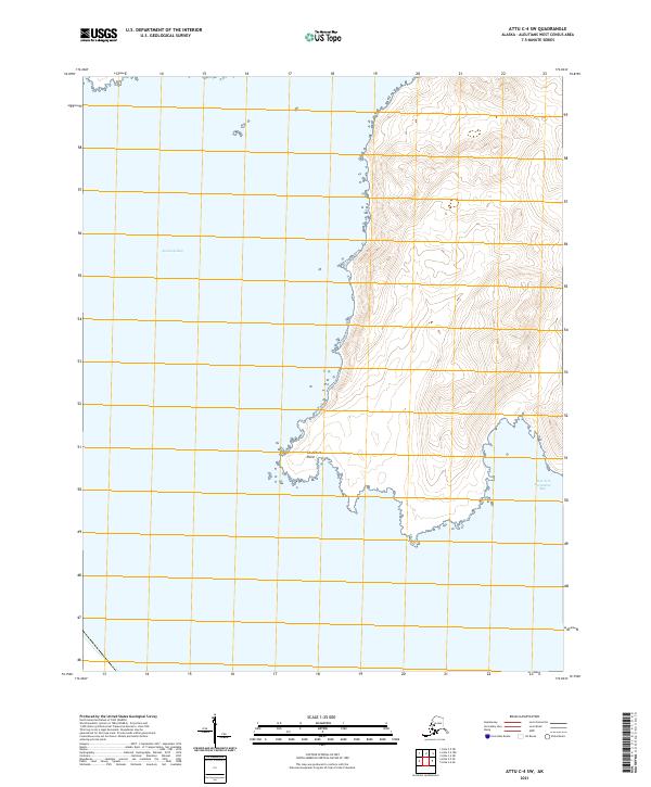
2021 Attu C-4 SW
Aleutians West Borough, AK
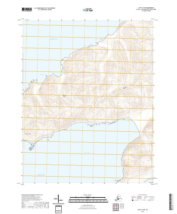
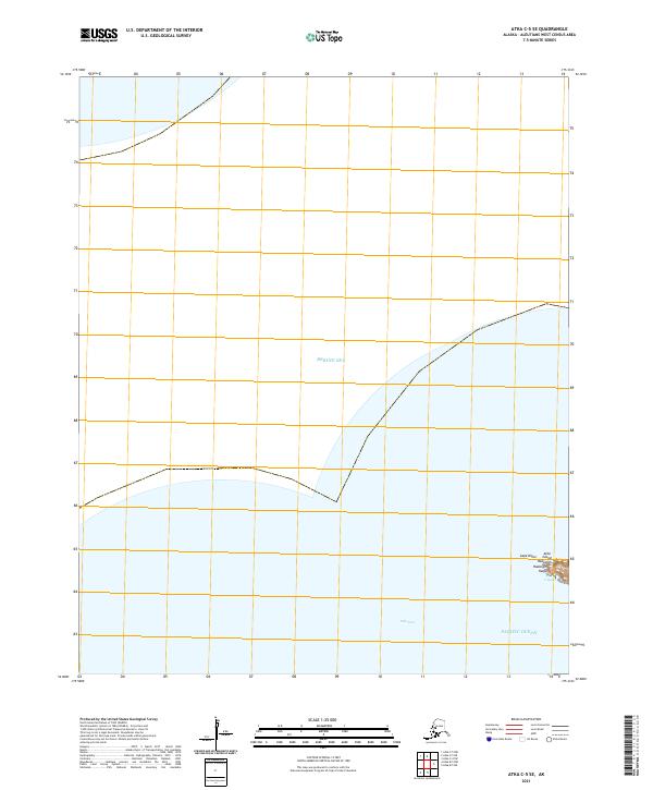
2021 Attu C-5 NE
Aleutians West Borough, AK
2021 Attu C-5 NW
Aleutians West Borough, AK
2021 Attu C-5 SE
Aleutians West Borough, AK
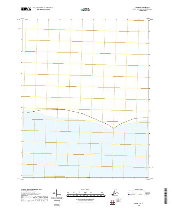
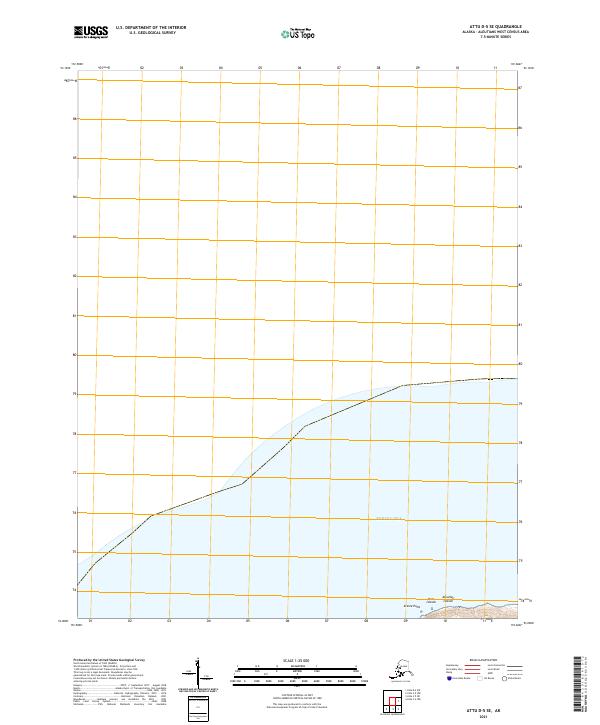
2021 Attu D-4 SE
Aleutians West Borough, AK
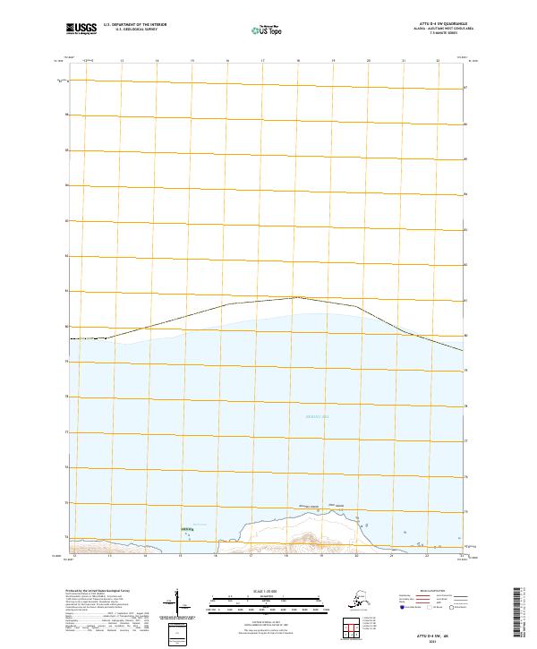
2021 Attu D-4 SW
Aleutians West Borough, AK
2021 Attu D-5 SE
Aleutians West Borough, AK
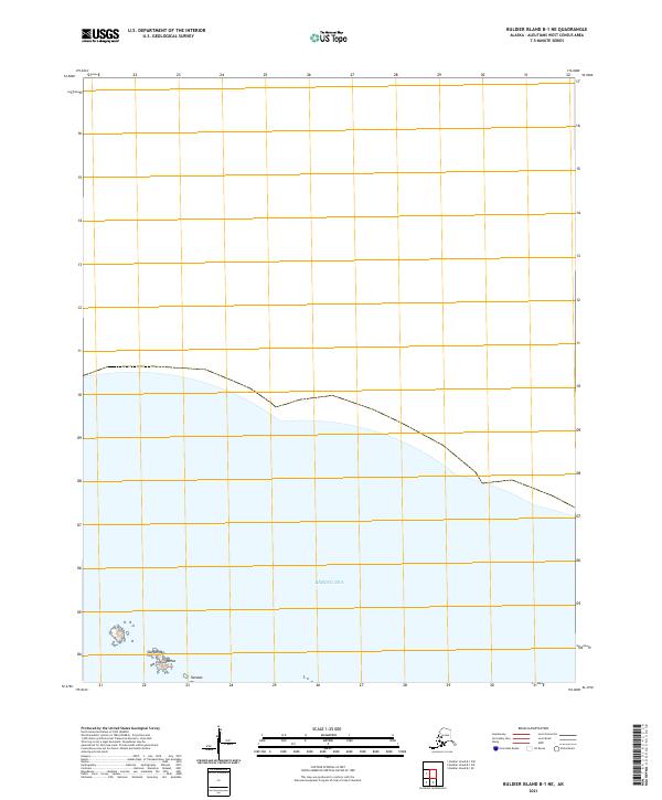
2021 Buldier Island B-1 NE
Aleutians West Borough, AK
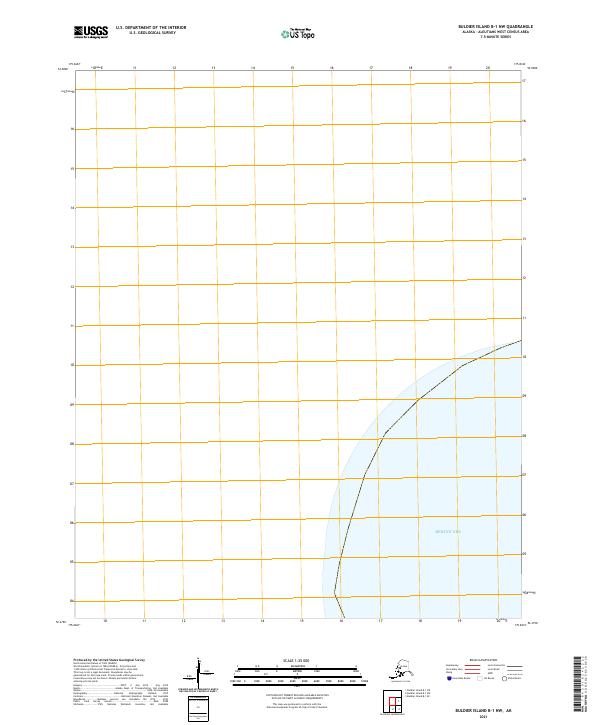
2021 Buldier Island B-1 NW
Aleutians West Borough, AK
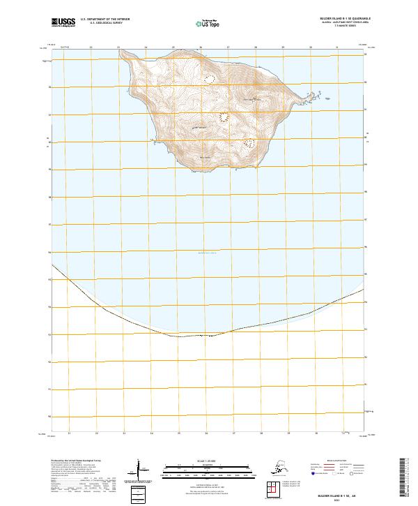
2021 Buldier Island B-1 SE
Aleutians West Borough, AK
2021 Buldier Island B-1 SW
Aleutians West Borough, AK
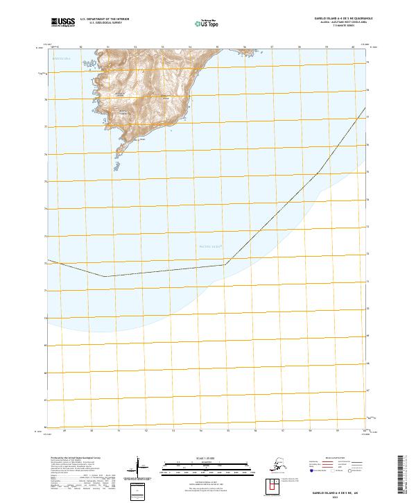
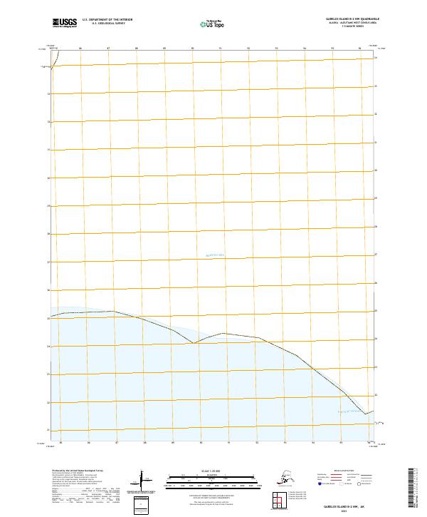
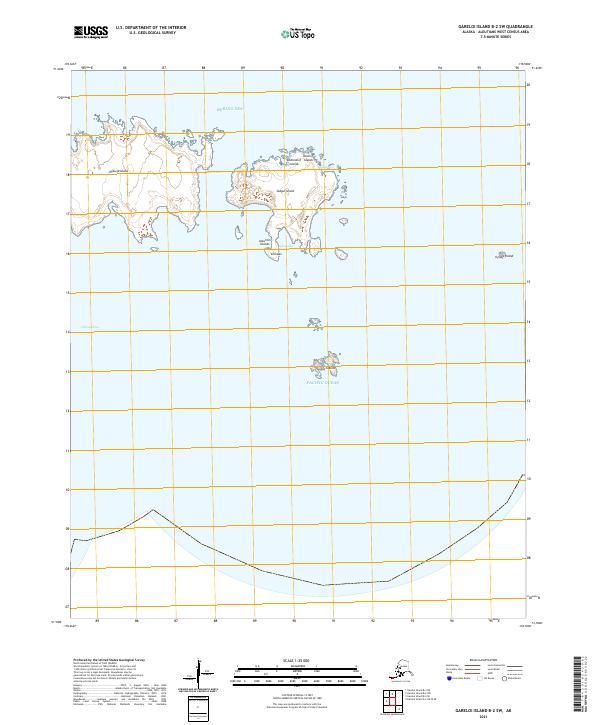
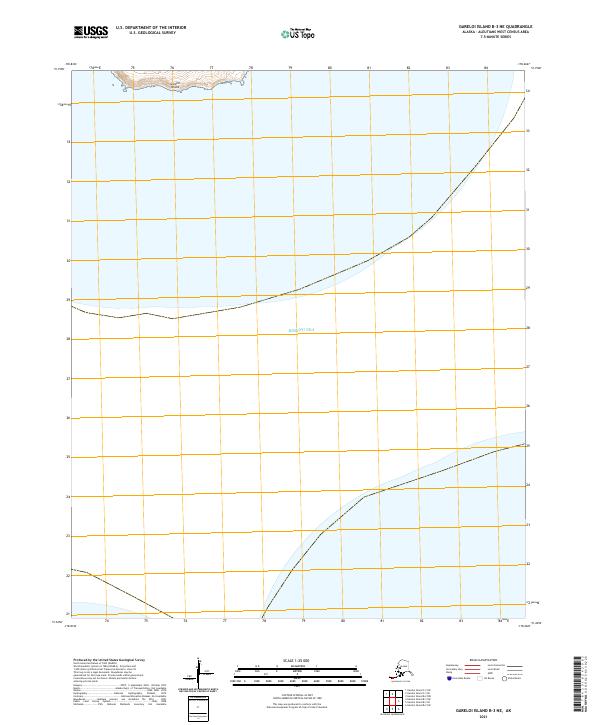
2021 Gareloi Island A-1 NW
Aleutians West Borough, AK
2021 Gareloi Island A-1 OE W NE
Aleutians West Borough, AK
2021 Gareloi Island A-3 NW
Aleutians West Borough, AK
2021 Gareloi Island A-3 SW
Aleutians West Borough, AK
2021 Gareloi Island A-4 OE S NE
Aleutians West Borough, AK
2021 Gareloi Island A-4 SE
Aleutians West Borough, AK
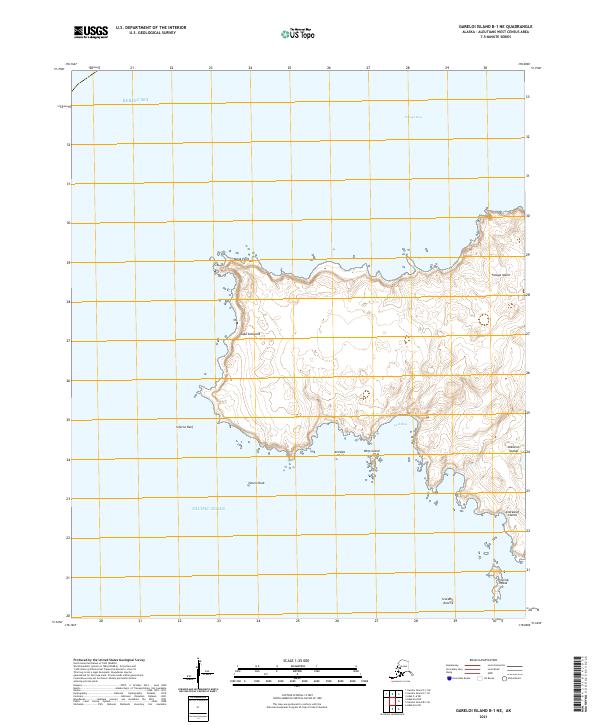
2021 Gareloi Island B-1 NE
Aleutians West Borough, AK
2021 Gareloi Island B-1 SE
Aleutians West Borough, AK
2021 Gareloi Island B-2 NW
Aleutians West Borough, AK
2021 Gareloi Island B-2 SW
Aleutians West Borough, AK
2021 Gareloi Island B-3 NE
Aleutians West Borough, AK
2021 Gareloi Island B-3 SE
Aleutians West Borough, AK
2021 Gareloi Island B-3 SW
Aleutians West Borough, AK
2021 Gareloi Island B-4 SE
Aleutians West Borough, AK
2021 Gareloi Island C-1 NE
Aleutians West Borough, AK
2021 Gareloi Island C-1 NW
Aleutians West Borough, AK
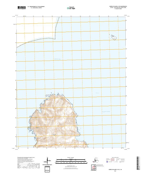
2021 Gareloi Island C-1 SE
Aleutians West Borough, AK
2021 Gareloi Island C-1 SW
Aleutians West Borough, AK
2021 Gareloi Island C-3 SE
Aleutians West Borough, AK
2021 Gareloi Island C-3 SW
Aleutians West Borough, AK
2021 Kiska C-1 NE
Aleutians West Borough, AK
2021 Kiska C-1 NW
Aleutians West Borough, AK
2021 Kiska C-2 NE
Aleutians West Borough, AK
2021 Kiska C-2 NW
Aleutians West Borough, AK
2021 Kiska C-2 SW
Aleutians West Borough, AK
2021 Kiska C-3 NE
Aleutians West Borough, AK
2021 Kiska C-3 SE
Aleutians West Borough, AK
2021 Kiska D-1 NW
Aleutians West Borough, AK
2021 Kiska D-1 SW
Aleutians West Borough, AK
2021 Kiska D-2 NE
Aleutians West Borough, AK
2021 Kiska D-2 SE
Aleutians West Borough, AK
2021 Kiska D-2 SW
Aleutians West Borough, AK
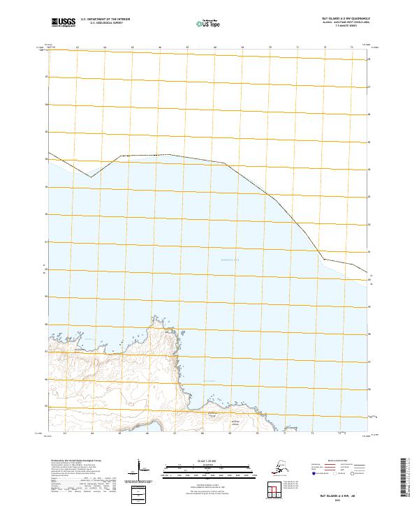
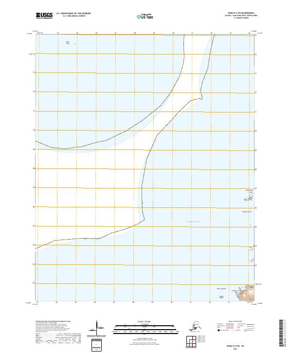
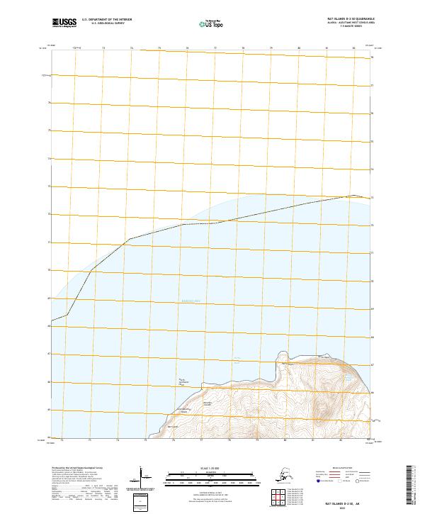
2021 Rat Islands A-2 NW
Aleutians West Borough, AK
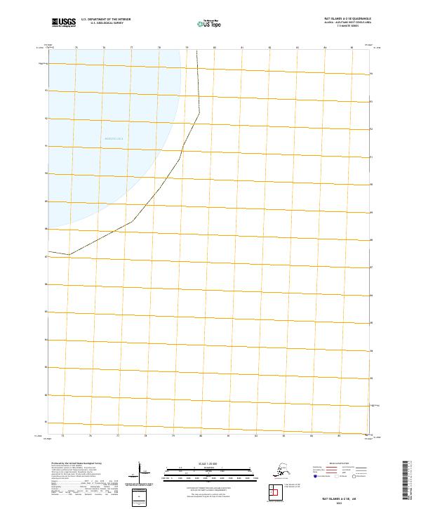
2021 Rat Islands A-2 SE
Aleutians West Borough, AK
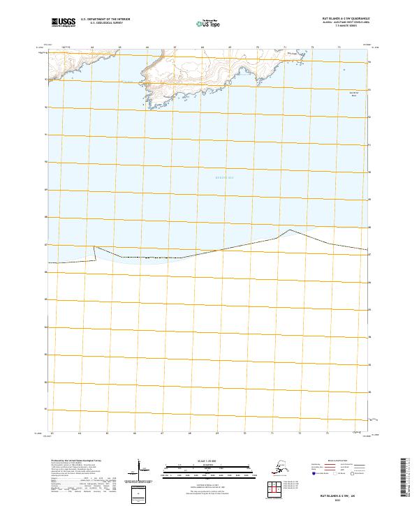
2021 Rat Islands A-2 SW
Aleutians West Borough, AK
2021 Rat Islands A-3 NE
Aleutians West Borough, AK
2021 Rat Islands A-3 NW
Aleutians West Borough, AK
2021 Rat Islands A-3 SE
Aleutians West Borough, AK
2021 Rat Islands B-3 SW
Aleutians West Borough, AK
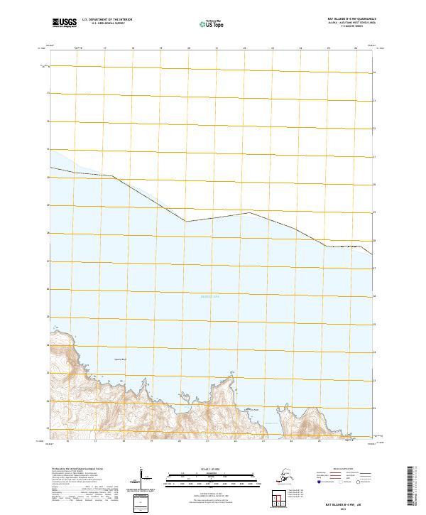
2021 Rat Islands B-4 NW
Aleutians West Borough, AK
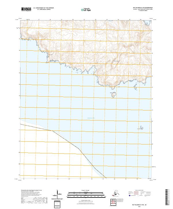
2021 Rat Islands B-4 SE
Aleutians West Borough, AK
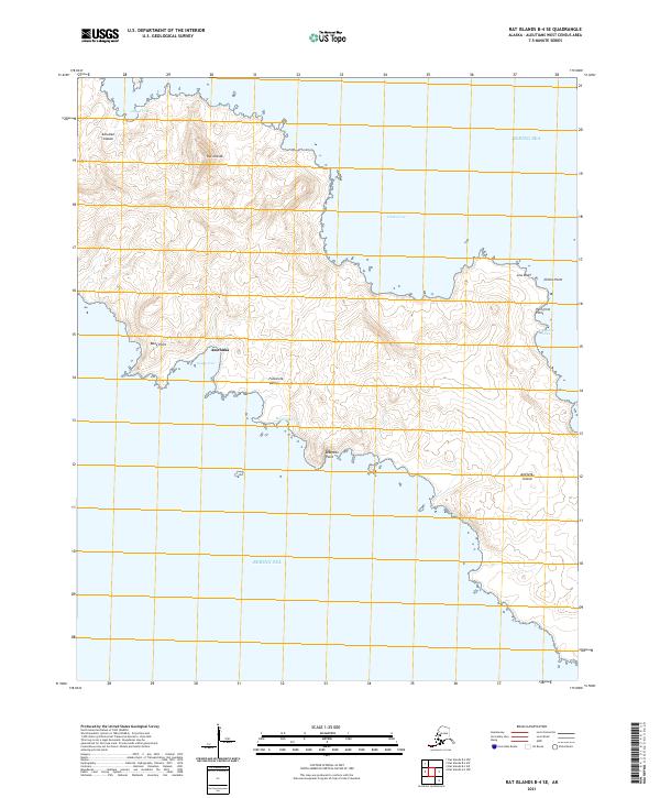
2021 Rat Islands B-4 SW
Aleutians West Borough, AK
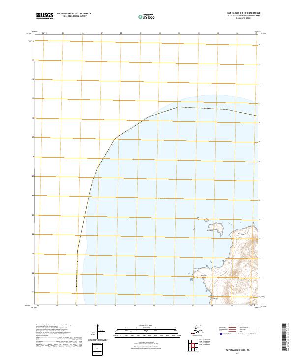
2021 Rat Islands B-5 NE
Aleutians West Borough, AK
2021 Rat Islands B-5 SE
Aleutians West Borough, AK

2021 Rat Islands C-1 NW
Aleutians West Borough, AK
2021 Rat Islands C-1 SW
Aleutians West Borough, AK
2021 Rat Islands C-2 NE
Aleutians West Borough, AK
2021 Rat Islands C-2 NW
Aleutians West Borough, AK
2021 Rat Islands C-2 SE
Aleutians West Borough, AK
2021 Rat Islands C-5 NE
Aleutians West Borough, AK
2021 Rat Islands C-5 NW
Aleutians West Borough, AK
2021 Rat Islands C-5 SW
Aleutians West Borough, AK
2021 Rat Islands C-6 NE
Aleutians West Borough, AK
2021 Rat Islands C-6 NW
Aleutians West Borough, AK

2021 Rat Islands C-6 SE
Aleutians West Borough, AK
2021 Rat Islands D-1 SE
Aleutians West Borough, AK
2021 Rat Islands D-1 SW
Aleutians West Borough, AK
2021 Rat Islands D-2 SE
Aleutians West Borough, AK
2021 Rat Islands D-2 SW
Aleutians West Borough, AK
2021 Rat Islands D-6 SE
Aleutians West Borough, AK
2021 Rat Islands D-6 SW
Aleutians West Borough, AK
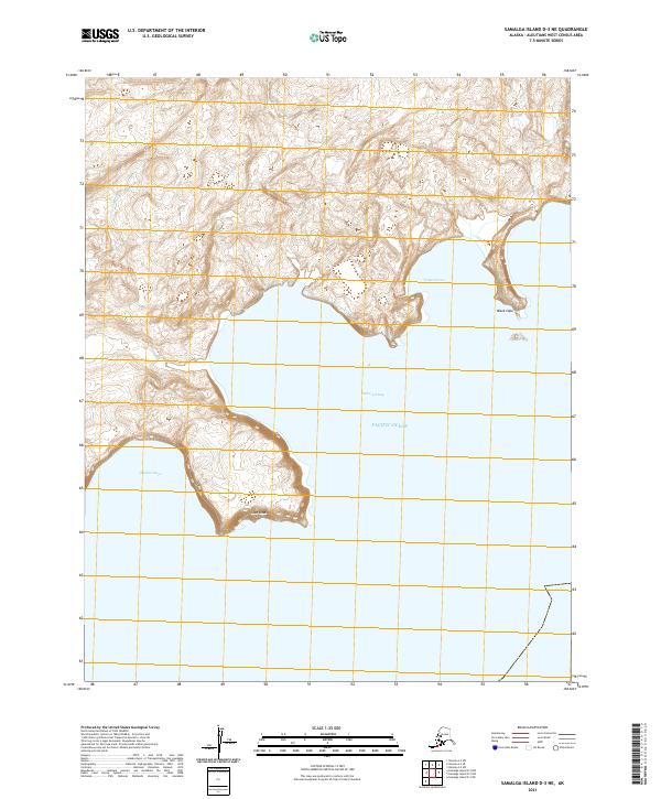
2021 Samalga Island D-2 NE
Aleutians West Borough, AK
2021 Samalga Island D-2 NW
Aleutians West Borough, AK
2021 Samalga Island D-3 NE
Aleutians West Borough, AK

2021 Samalga Island D-3 NW
Aleutians West Borough, AK
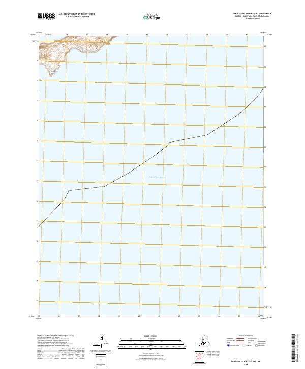
2021 Samalga Island D-3 SW
Aleutians West Borough, AK
2021 Samalga Island D-4 NE
Aleutians West Borough, AK
2021 Samalga Island D-4 NW
Aleutians West Borough, AK
2021 Samalga Island D-4 SE
Aleutians West Borough, AK
2021 Samalga Island D-4 SW
Aleutians West Borough, AK
2021 Samalga Island D-6 NE
Aleutians West Borough, AK
2021 Samalga Island D-6 NW
Aleutians West Borough, AK
2021 Samalga Island D-6 OE E NW
Aleutians West Borough, AK
2021 Samalga Island D-6 SE
Aleutians West Borough, AK
2021 Samalga Island D-6 SW
Aleutians West Borough, AK
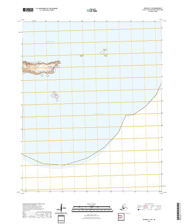
2021 Seguam C-3 SW
Aleutians West Borough, AK
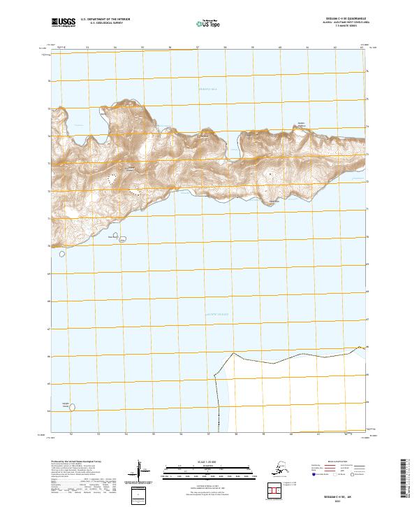
2021 Seguam C-4 SE
Aleutians West Borough, AK
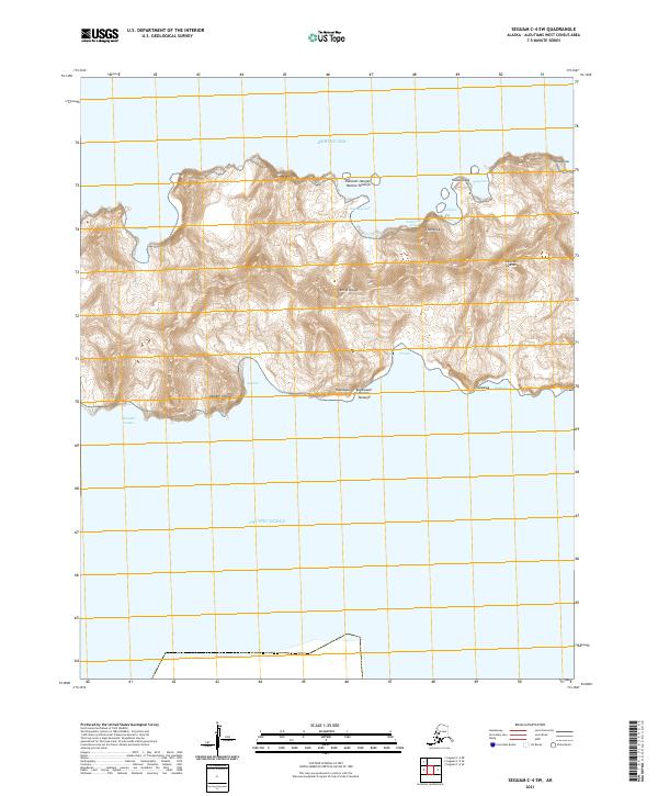
2021 Seguam C-4 SW
Aleutians West Borough, AK
2021 Seguam C-5 NE
Aleutians West Borough, AK
2021 Seguam C-5 NW
Aleutians West Borough, AK
2021 Seguam C-5 SE
Aleutians West Borough, AK
2021 Seguam C-5 SW
Aleutians West Borough, AK
2021 Seguam C-6 NE
Aleutians West Borough, AK
2021 Seguam C-6 NW
Aleutians West Borough, AK
2021 Seguam C-6 SE
Aleutians West Borough, AK
2021 Seguam C-6 SW
Aleutians West Borough, AK
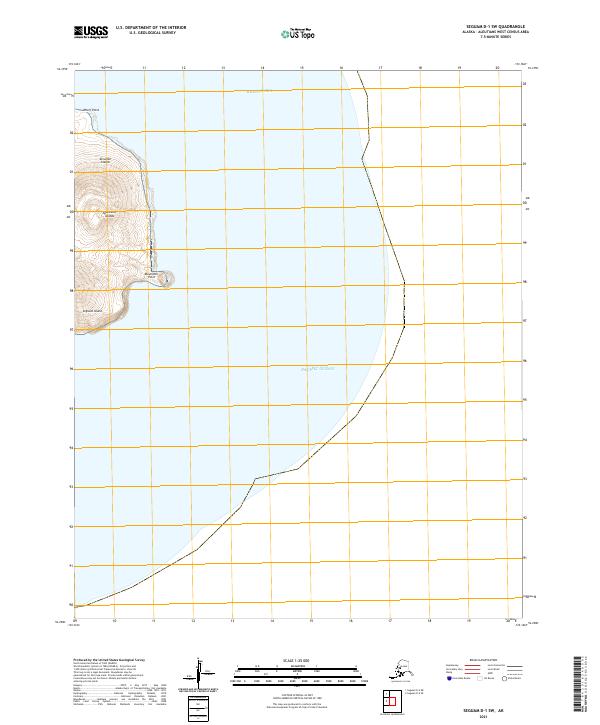
2021 Seguam D-1 SW
Aleutians West Borough, AK
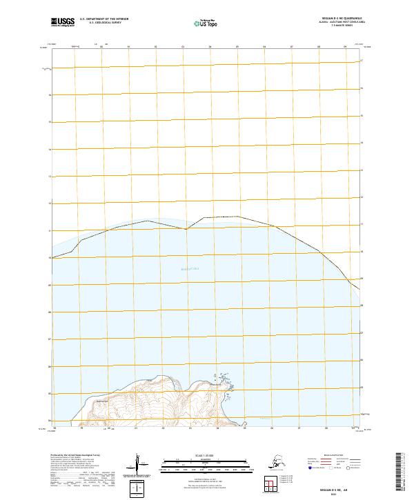
2021 Seguam D-2 NE
Aleutians West Borough, AK
2021 Seguam D-2 NW
Aleutians West Borough, AK
2021 Seguam D-2 OE S NW
Aleutians West Borough, AK
2021 Seguam D-2 SE
Aleutians West Borough, AK
2021 Seguam D-2 SW
Aleutians West Borough, AK
2021 Seguam D-6 SW
Aleutians West Borough, AK
2021 Umnak A-1 NW
Aleutians West Borough, AK
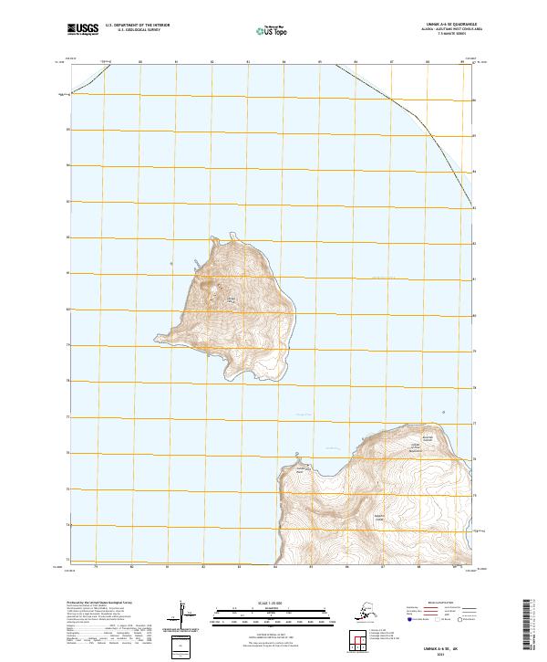
2021 Umnak A-2 NE
Aleutians West Borough, AK
2021 Umnak A-2 NW
Aleutians West Borough, AK
2021 Umnak A-2 SE
Aleutians West Borough, AK
2021 Umnak A-2 SW
Aleutians West Borough, AK
2021 Umnak A-3 NE
Aleutians West Borough, AK
2021 Umnak A-3 SE
Aleutians West Borough, AK
2021 Umnak A-3 SW
Aleutians West Borough, AK
2021 Umnak A-5 SW
Aleutians West Borough, AK
2021 Umnak A-6 SE
Aleutians West Borough, AK
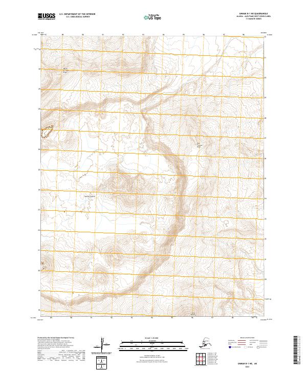
2021 Umnak B-1 NE
Aleutians West Borough, AK
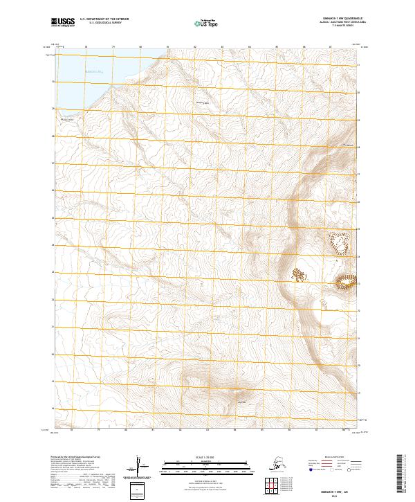
2021 Umnak B-1 NW
Aleutians West Borough, AK
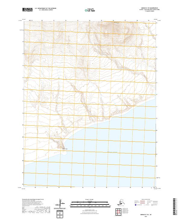
2021 Umnak B-1 SE
Aleutians West Borough, AK

2021 Umnak B-1 SW
Aleutians West Borough, AK
2021 Umnak B-2 NE
Aleutians West Borough, AK
2021 Umnak B-2 SE
Aleutians West Borough, AK
2021 Umnak B-2 SW
Aleutians West Borough, AK
2021 Umnak C-1 SE
Aleutians West Borough, AK
2021 Umnak C-1 SW
Aleutians West Borough, AK
2021 Umnak D-1 NE
Aleutians West Borough, AK
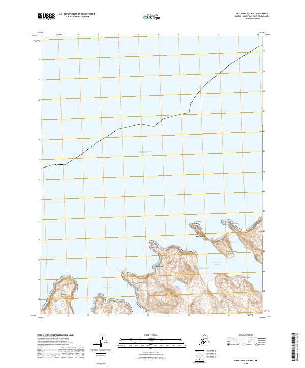
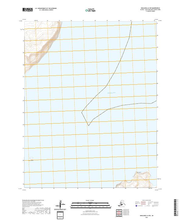
2021 Unalaska A-2 NW
Aleutians West Borough, AK
2021 Unalaska A-3 NE
Aleutians West Borough, AK
2021 Unalaska A-3 NW
Aleutians West Borough, AK
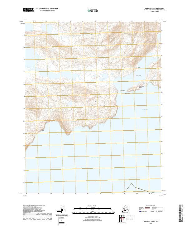
2021 Unalaska A-4 NE
Aleutians West Borough, AK
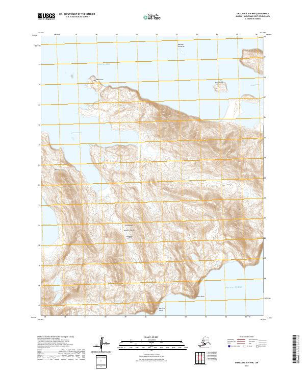
2021 Unalaska A-4 NW
Aleutians West Borough, AK
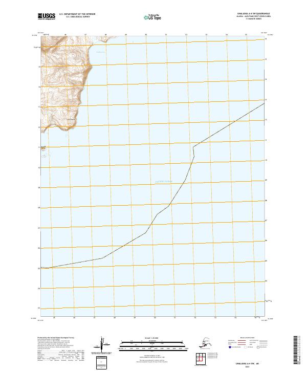
2021 Unalaska A-4 SW
Aleutians West Borough, AK
2021 Unalaska A-5 NE
Aleutians West Borough, AK
2021 Unalaska A-5 NW
Aleutians West Borough, AK
2021 Unalaska A-5 OE S NW
Aleutians West Borough, AK
2021 Unalaska A-5 SE
Aleutians West Borough, AK
2021 Unalaska A-5 SW
Aleutians West Borough, AK
2021 Unalaska A-6 NE
Aleutians West Borough, AK
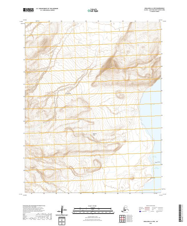
2021 Unalaska A-6 NW
Aleutians West Borough, AK
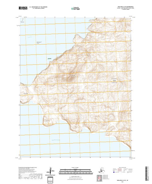
2021 Unalaska A-6 SE
Aleutians West Borough, AK
2021 Unalaska A-6 SW
Aleutians West Borough, AK
2021 Unalaska B-1 NW
Aleutians West Borough, AK
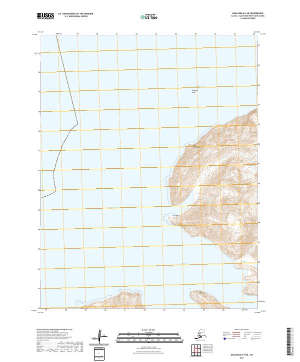
2021 Unalaska B-2 NE
Aleutians West Borough, AK
2021 Unalaska B-2 NW
Aleutians West Borough, AK
2021 Unalaska B-2 SW
Aleutians West Borough, AK
2021 Unalaska B-3 NE
Aleutians West Borough, AK
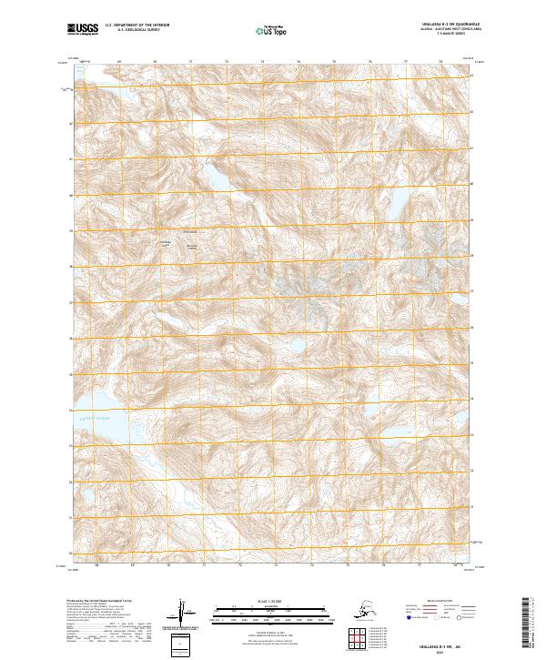
2021 Unalaska B-3 NW
Aleutians West Borough, AK
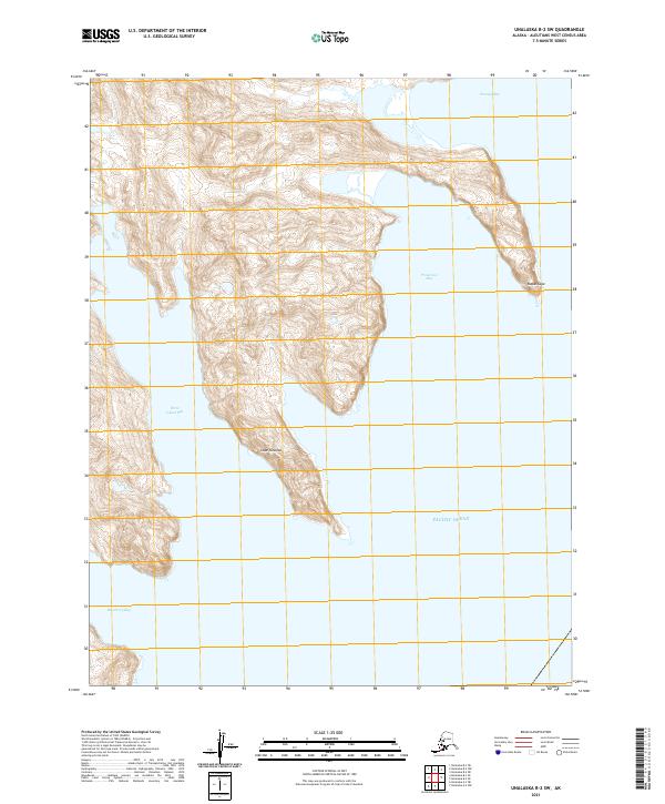
2021 Unalaska B-3 SE
Aleutians West Borough, AK
2021 Unalaska B-3 SW
Aleutians West Borough, AK
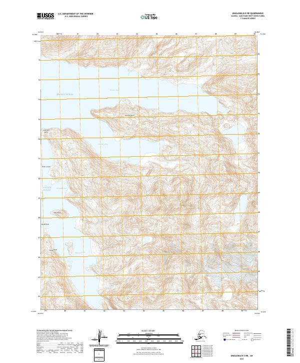
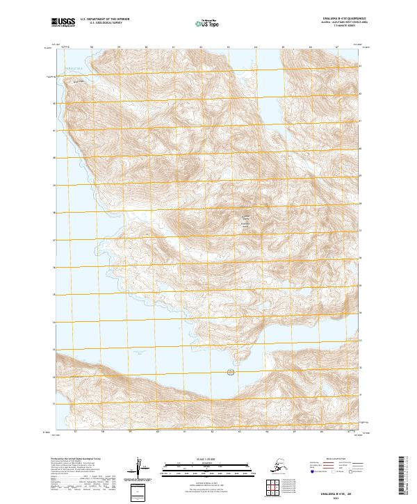
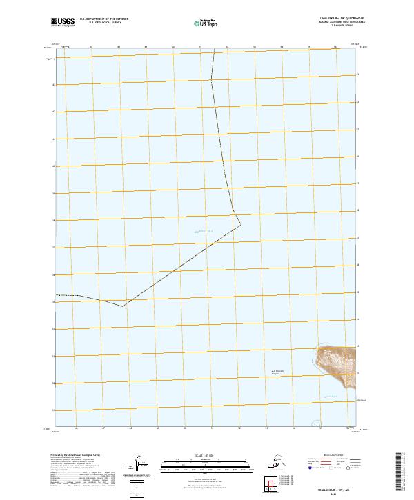
2021 Unalaska B-4 NE
Aleutians West Borough, AK
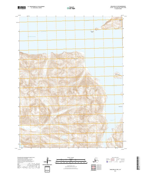
2021 Unalaska B-4 SE
Aleutians West Borough, AK
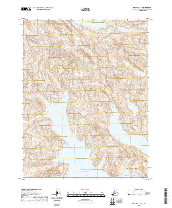
2021 Unalaska B-4 SW
Aleutians West Borough, AK
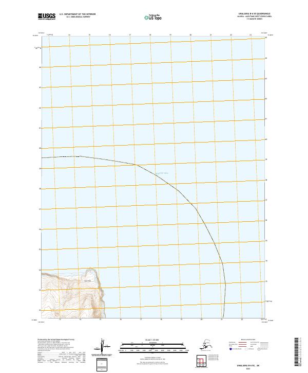
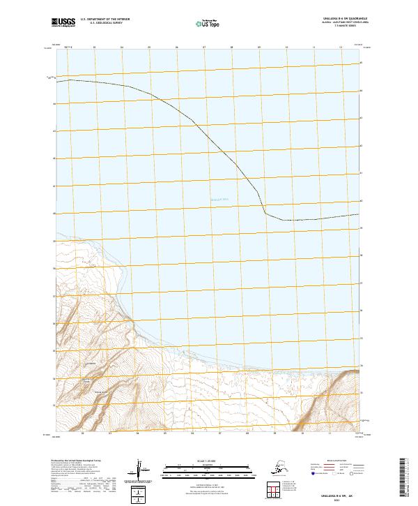
2021 Unalaska B-6 SE
Aleutians West Borough, AK
2021 Unalaska B-6 SW
Aleutians West Borough, AK
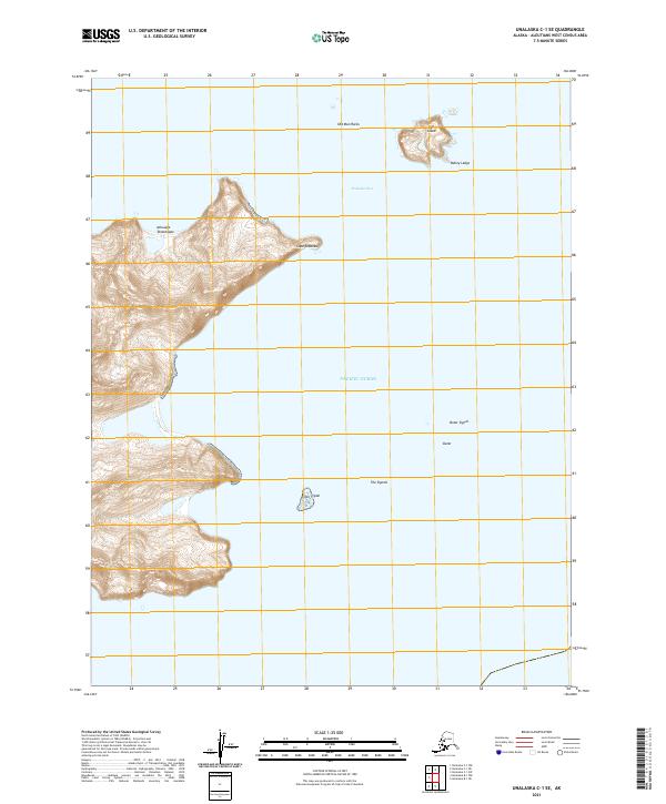
2021 Unalaska C-1 SE
Aleutians West Borough, AK
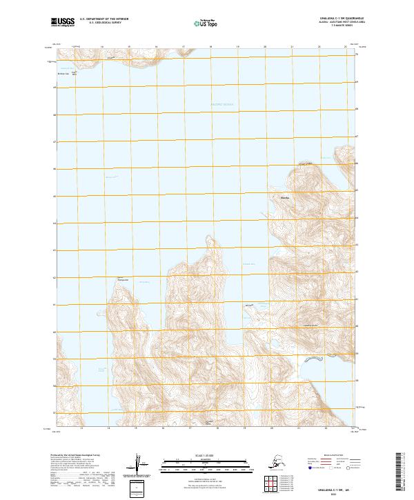
2021 Unalaska C-1 SW
Aleutians West Borough, AK
2021 Unalaska C-2 NE
Aleutians West Borough, AK

2021 Unalaska C-2 NW
Aleutians West Borough, AK
2021 Unalaska C-2 SE
Aleutians West Borough, AK
2021 Unalaska C-2 SW
Aleutians West Borough, AK
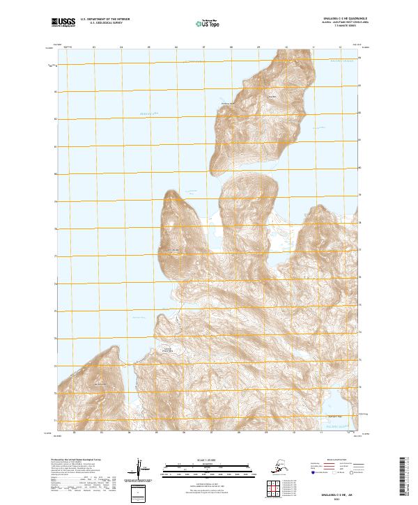
2021 Unalaska C-3 NE
Aleutians West Borough, AK
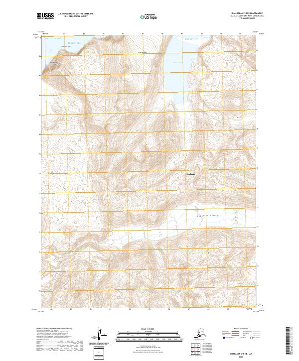
2021 Unalaska C-3 NW
Aleutians West Borough, AK

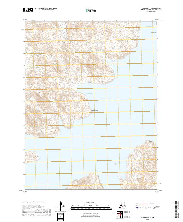
2021 Unalaska C-3 SE
Aleutians West Borough, AK
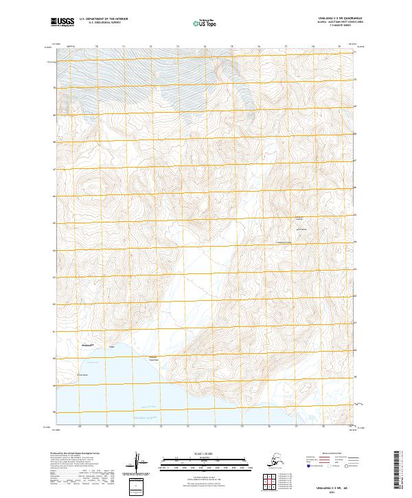
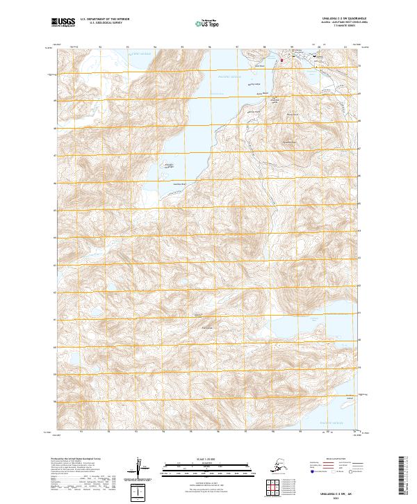
2021 Unalaska C-3 SW
Aleutians West Borough, AK
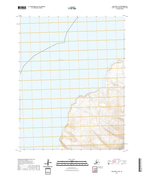
2021 Unalaska C-4 NE
Aleutians West Borough, AK
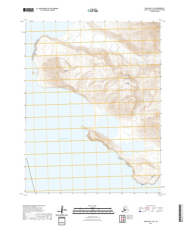
2021 Unalaska C-4 SE
Aleutians West Borough, AK
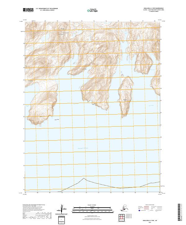
2021 Unalaska D-3 SE
Aleutians West Borough, AK