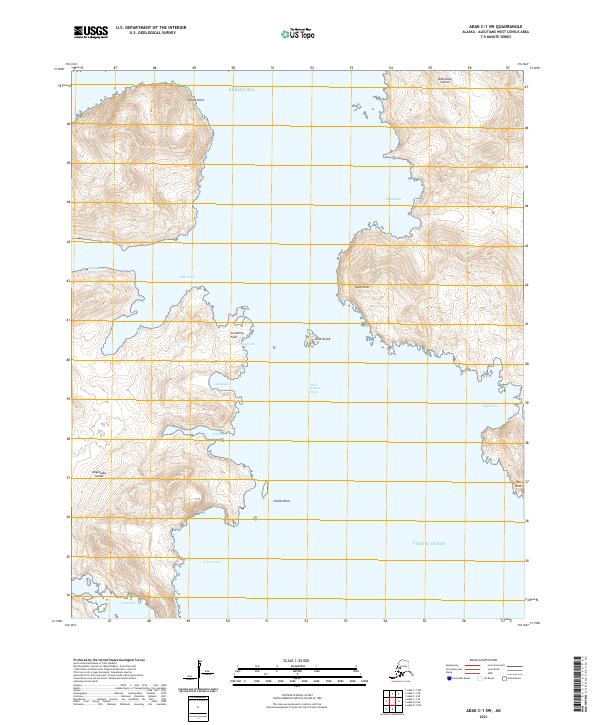
2021 Map of Adak C-1 SW
USGS Topo · Published 2021About this map
Kagalaska Island and the surrounding Andreanof Islands define this maritime landscape in the Aleutians West area. This survey reveals a complex shoreline where the Bering Sea meets the Pacific Ocean through the deep passage of the Little Tanaga Strait. The coastline is heavily indented with protected waters such as Cabin Cove, Quail Bay, and Piper Cove, reflecting the typical geography of this volcanic island chain.
Find a feature on this map
26 named features on this map. Tap any name to fly to it.
Don’t see what you’re looking for? This feature index may not catch every label — zoom into the map to look around manually.
Map Details
Editions of this 2021 Adak C-1 SW Map
This is the sole edition of this map. No revisions or reprints were ever made.
Other maps of this area

1951 · Adak
USGS Topo · 1:250,000

1954 · Adak
USGS Topo · 1:250,000

1957 · Adak
USGS Topo · 1:250,000

1967 · Adak
USGS Topo · 1:250,000

1983 · Adak
USGS Topo · 1:250,000
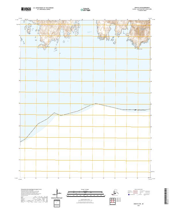
2021 · Adak B-2 NE
USGS Topo · 1:25,000
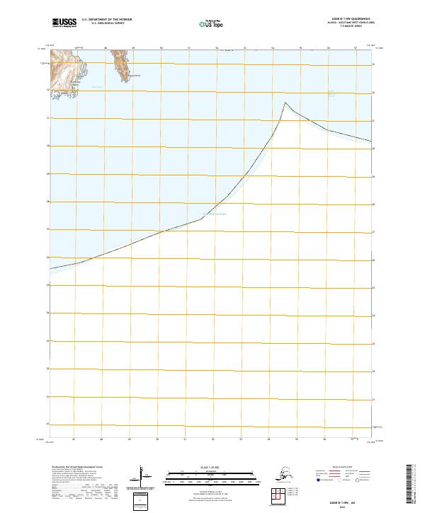
2021 · Adak B-1 NW
USGS Topo · 1:25,000
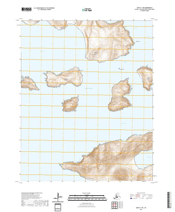
2021 · Adak C-1 NE
USGS Topo · 1:25,000
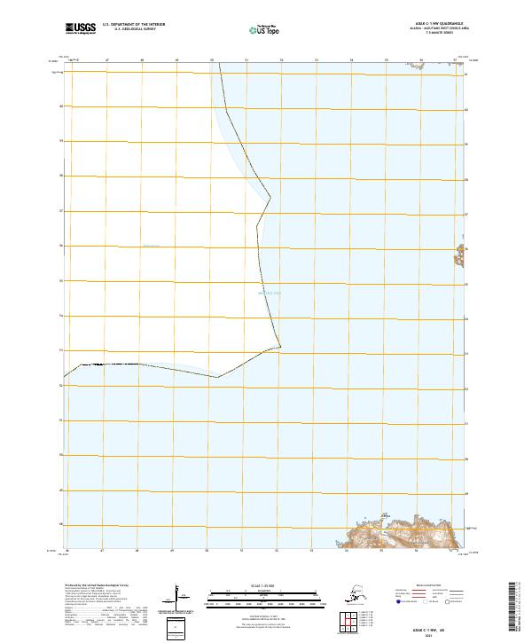
2021 · Adak C-1 NW
USGS Topo · 1:25,000
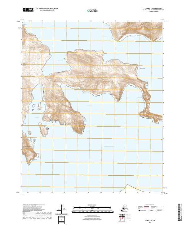
2021 · Adak C-1 SE
USGS Topo · 1:25,000