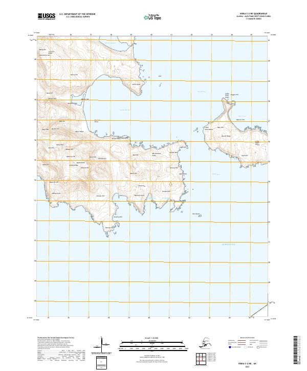
2021 Map of Kiska C-2 NE
USGS Topo · Published 2021About this map
Kiska Harbor and the surrounding volcanic terrain of the Aleutians West Census Area dominate this topographical study, showcasing a landscape defined by dramatic ridges and sheltered coves. The coastline is particularly complex, featuring narrow maritime passages like North Pass and South Pass that separate the main island from Little Kiska Island. Higher elevations are marked by distinctive peaks and ridges, such as Maiden Mtn and the Merchandise Peaks, while the interior terrain is punctuated by numerous family-named and descriptive landmarks like Monkey Ridge and Tropical Ridge.
Find a feature on this map
64 named features on this map. Tap any name to fly to it.
Don’t see what you’re looking for? This feature index may not catch every label — zoom into the map to look around manually.
Map Details
Editions of this 2021 Kiska C-2 NE Map
This is the sole edition of this map. No revisions or reprints were ever made.
Other maps of this area

1951 · Kiska
USGS Topo · 1:250,000

1958 · Kiska
USGS Topo · 1:250,000
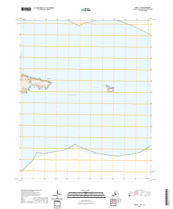
2021 · Kiska C-1 NW
USGS Topo · 1:25,000
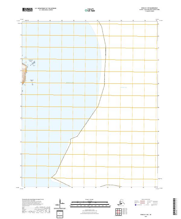
2021 · Kiska D-1 SW
USGS Topo · 1:25,000
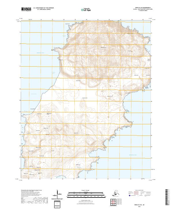
2021 · Kiska D-2 SE
USGS Topo · 1:25,000
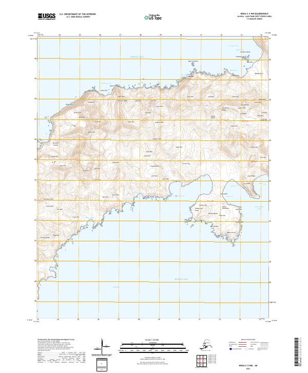
2021 · Kiska C-2 NW
USGS Topo · 1:25,000
2021 · Kiska C-2 SW
USGS Topo · 1:25,000
2021 · Kiska D-2 SW
USGS Topo · 1:25,000