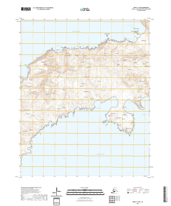
2021 Map of Kiska C-2 NW
USGS Topo · Published 2021About this map
Russian Ridge and Persian Ridge dominate the interior of this section of Kiska Island, part of the Aleutian Islands chain. This volcanic landscape is defined by its deeply indented coastline, where numerous coves and bights like Quisling Cove, Gertrude Cove, and Ethel Cove provide potential anchorage or shelter from the surrounding Bering Sea. Named hills and ridges serve as the primary landmarks across the treeless terrain, including Lasso Hill, Lulu Hill, and the descriptively named Leg Hills. The southern reaches of the map open into the broad Vega Bay, while the northern coast is punctuated by offshore hazards like Swallow Rocks and Sparrow Rocks. This modern survey documents the remote topography and named coastal features of an island that saw significant military activity during the mid-20th century.
Find a feature on this map
98 named features on this map. Tap any name to fly to it.
Don’t see what you’re looking for? This feature index may not catch every label — zoom into the map to look around manually.
Map Details
Editions of this 2021 Kiska C-2 NW Map
This is the sole edition of this map. No revisions or reprints were ever made.
Other maps of this area

1951 · Kiska
USGS Topo · 1:250,000

1958 · Kiska
USGS Topo · 1:250,000
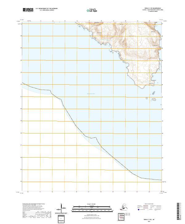
2021 · Kiska C-3 SE
USGS Topo · 1:25,000
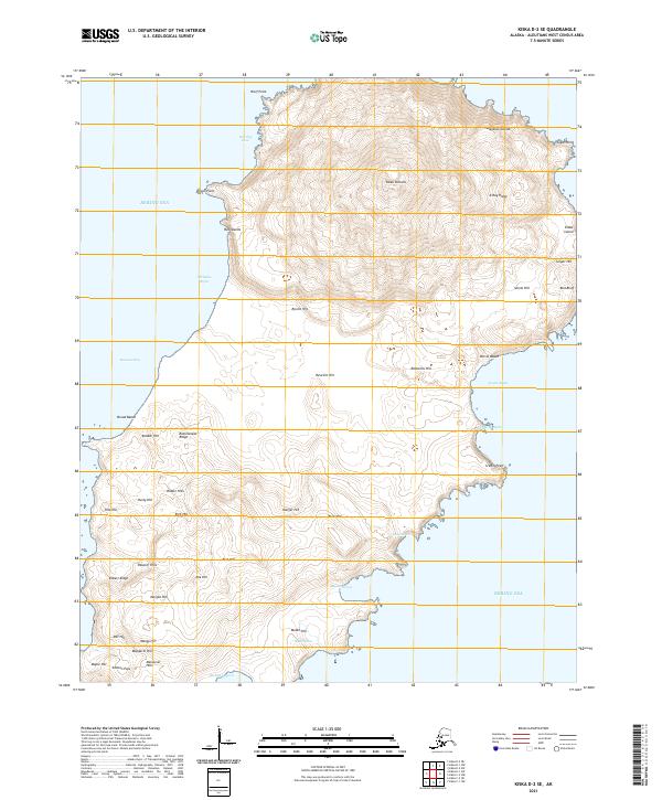
2021 · Kiska D-2 SE
USGS Topo · 1:25,000
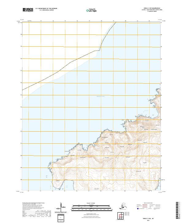
2021 · Kiska C-3 NE
USGS Topo · 1:25,000
2021 · Kiska C-2 SW
USGS Topo · 1:25,000
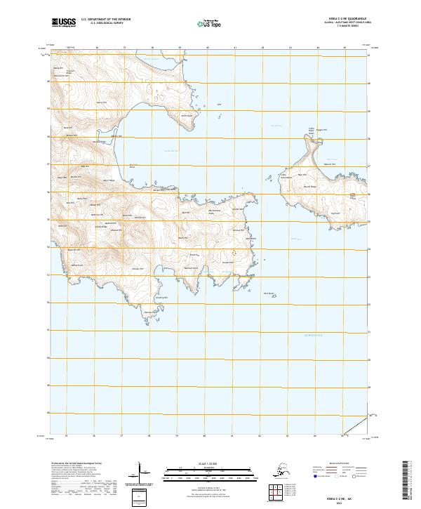
2021 · Kiska C-2 NE
USGS Topo · 1:25,000
2021 · Kiska D-2 SW
USGS Topo · 1:25,000