
1951 Map of Kiska
USGS Topo · Published 1952About this map
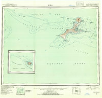
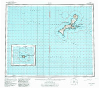
Kiska Island dominates this mid-century reconnaissance of the Rat Islands, showing the complex coastline and volcanic interior following the intense activity of the 1940s. The shaded relief highlights the prominence of the Kiska Volcano at the northern end of the island, standing above Sirius Point and the NE Rocks. This survey provides a record of the island's geography as it was understood during the early Cold War era, detailing the sheltered waters of Kiska Harbor and Little Kiska Harbor. Along the southern and western reaches, the map identifies isolated landmarks like Cape St Stephen, Gertrude Cove, and the freshwater basins of West Kiska Lake and East Kiska Lake. The surrounding waters are charted through various passes, including McArthur Pass and Tanadak Pass, which separate the main landmass from smaller satellites like Little Kiska Island and Tanadak Island.
Find a feature on this map
47 named features on this map. Tap any name to fly to it.
Don’t see what you’re looking for? This feature index may not catch every label — zoom into the map to look around manually.
Map Details
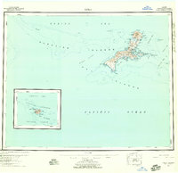
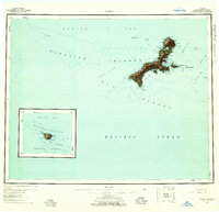
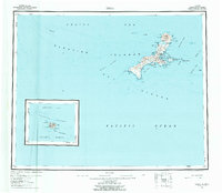
Editions of this 1951 Kiska Map
6 editions found
Other maps of this area

1951 · Rat Islands
USGS Topo · 1:250,000

1958 · Kiska
USGS Topo · 1:250,000
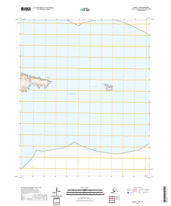
2021 · Kiska C-1 NW
USGS Topo · 1:25,000
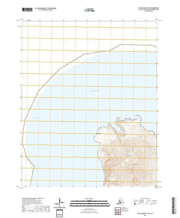
2021 · Rat Islands D-6 SW
USGS Topo · 1:25,000
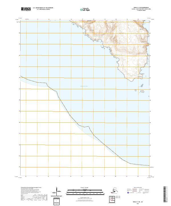
2021 · Kiska C-3 SE
USGS Topo · 1:25,000
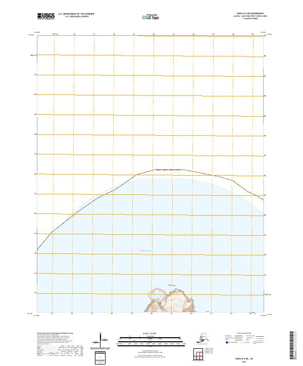
2021 · Kiska D-2 NE
USGS Topo · 1:25,000
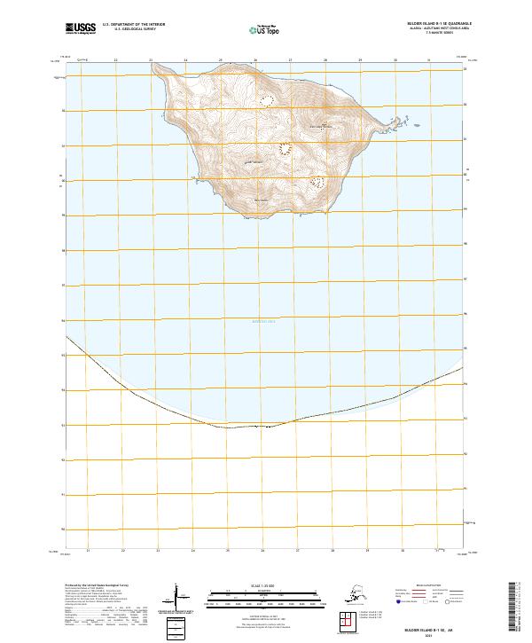
2021 · Buldier Island B-1 SE
USGS Topo · 1:25,000
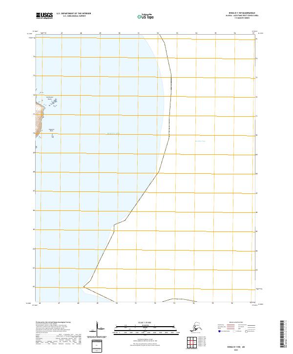
2021 · Kiska D-1 SW
USGS Topo · 1:25,000
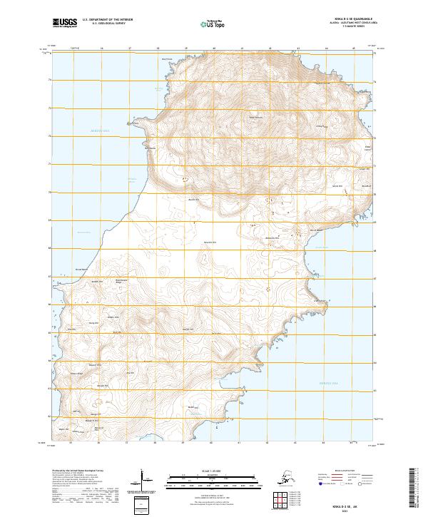
2021 · Kiska D-2 SE
USGS Topo · 1:25,000
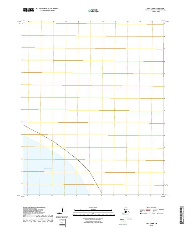
2021 · Kiska D-1 NW
USGS Topo · 1:25,000