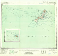
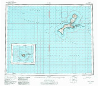
1951 Map of Kiska
USGS Topo · Published 1952About this map
Kiska Volcano dominates the northern landscape of the Kiska Island chain, a prominent landmark within the Rat Islands group of the Aleutian Islands. This post-war reconnaissance survey, compiled from aerial photography taken between 1935 and 1947, details a highly complex coastline defined by Reynard Cove and the protected waters of Kiska Harbor. The presence of Salmon Lagoon and Trout Lagoon near the central isthmus suggests a landscape where freshwater and marine environments converge near Little Kiska Island.
Find a feature on this map
46 named features on this map. Tap any name to fly to it.
Don’t see what you’re looking for? This feature index may not catch every label — zoom into the map to look around manually.
Map Details
Editions of this 1951 Kiska Map
6 editions found
Other maps of this area

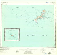
1951 · Kiska
USGS Topo · 1:250,000

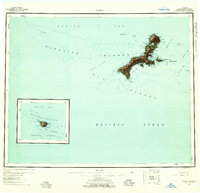
1951 · Rat Islands
USGS Topo · 1:250,000

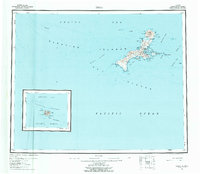
1958 · Kiska
USGS Topo · 1:250,000
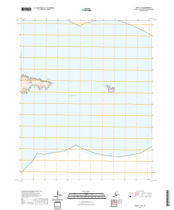
2021 · Kiska C-1 NW
USGS Topo · 1:25,000
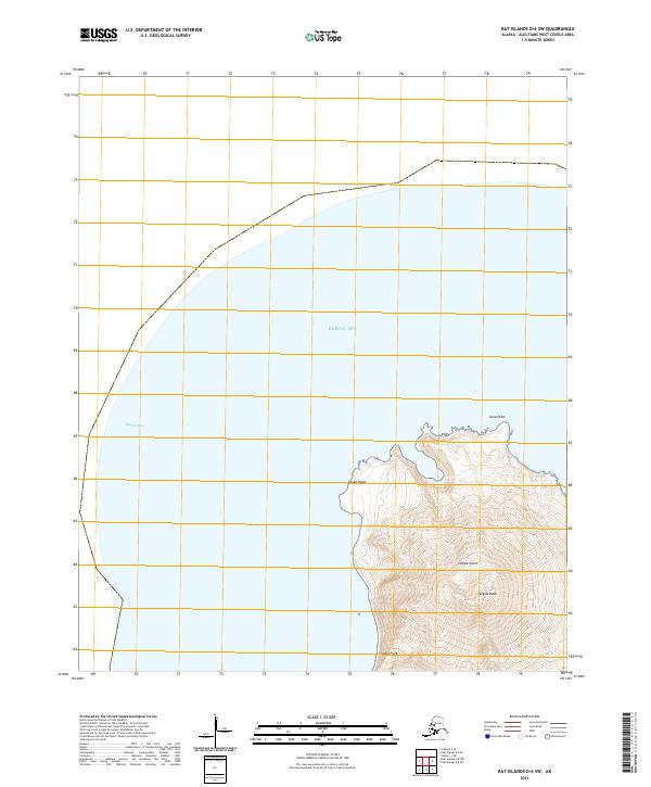
2021 · Rat Islands D-6 SW
USGS Topo · 1:25,000
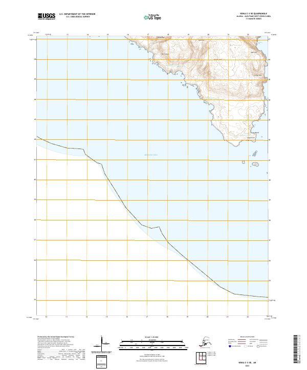
2021 · Kiska C-3 SE
USGS Topo · 1:25,000
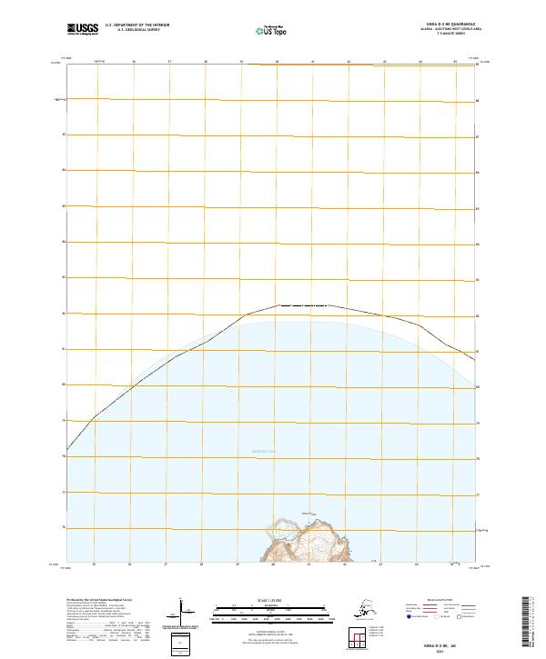
2021 · Kiska D-2 NE
USGS Topo · 1:25,000
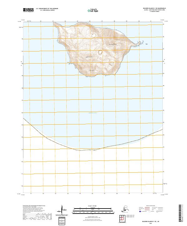
2021 · Buldier Island B-1 SE
USGS Topo · 1:25,000
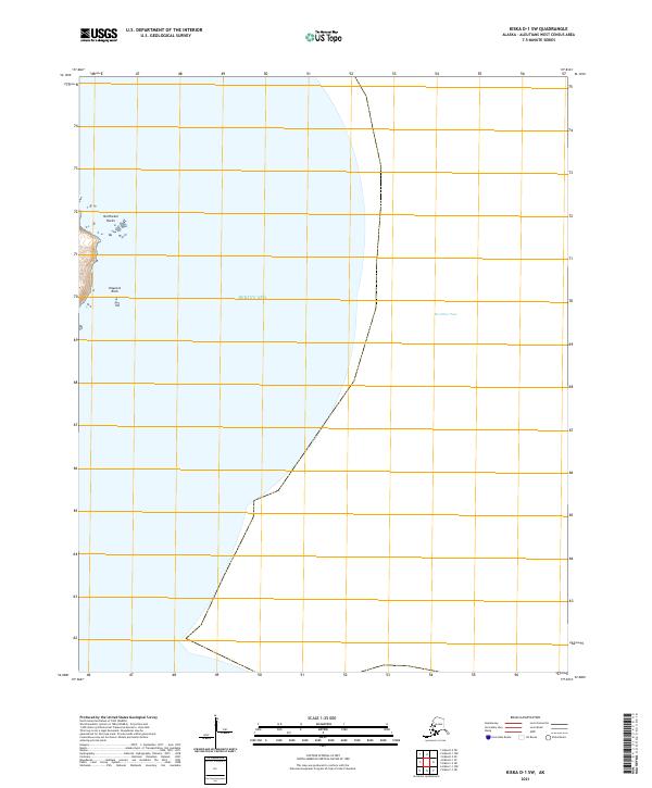
2021 · Kiska D-1 SW
USGS Topo · 1:25,000
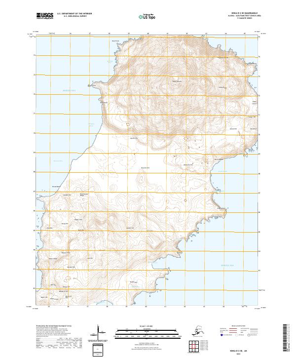
2021 · Kiska D-2 SE
USGS Topo · 1:25,000