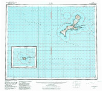
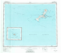
1951 Map of Kiska
USGS Topo · Published 1984About this map
Kiska Island dominates this mid-century survey of the far western Aleutian Islands, a landscape defined by volcanic activity and maritime isolation. The topography is anchored by the prominent Kiska Volcano at the northern end, while the eastern coast is punctuated by numerous sheltered inlets like Kiska Harbor and Navy Cove. These features reflect the island's strategic importance during World War II, though by the time of the 1951 survey, the map shows only a few scattered Cabins and a single Cabin near Salmon Lagoon.
Find a feature on this map
60 named features on this map. Tap any name to fly to it.
Don’t see what you’re looking for? This feature index may not catch every label — zoom into the map to look around manually.
Map Details
Editions of this 1951 Kiska Map
6 editions found
Other maps of this area

1951 · Kiska
USGS Topo · 1:250,000

1951 · Rat Islands
USGS Topo · 1:250,000

1958 · Kiska
USGS Topo · 1:250,000
2021 · Kiska C-1 NW
USGS Topo · 1:25,000
2021 · Rat Islands D-6 SW
USGS Topo · 1:25,000
2021 · Kiska C-3 SE
USGS Topo · 1:25,000
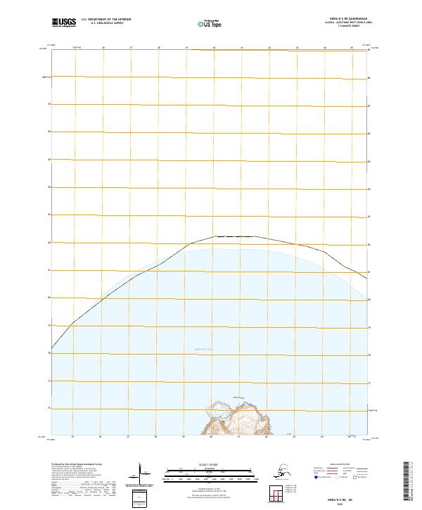
2021 · Kiska D-2 NE
USGS Topo · 1:25,000
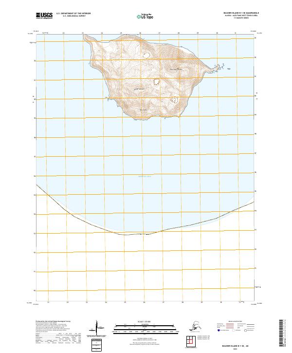
2021 · Buldier Island B-1 SE
USGS Topo · 1:25,000
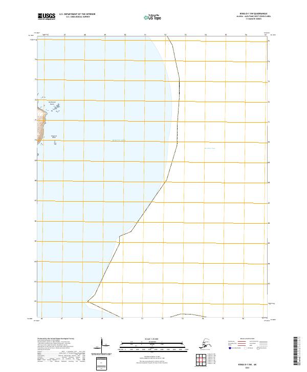
2021 · Kiska D-1 SW
USGS Topo · 1:25,000
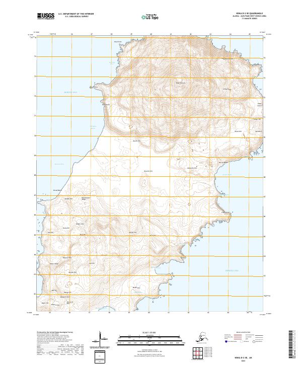
2021 · Kiska D-2 SE
USGS Topo · 1:25,000