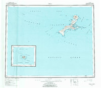
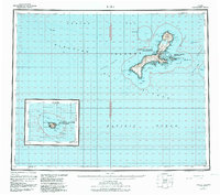
1951 Map of Kiska
USGS Topo · Published 1958About this map
Kiska Volcano dominates the northern skyline of this remote volcanic island within the Aleutian Islands National Wildlife Refuge. Situated in the Rat Islands group between the Bering Sea and the Pacific Ocean, the landscape is defined by its strategic maritime geography, most notably the sheltered Kiska Harbor and Gertrude Cove. While the map reflects the island's natural state, small clusters of Cabins near the harbor and Salmon Lagoon mark the limited human presence in this post-war period. The surrounding waters are charted with significant detail, including the nearby Little Kiska Island and the hazardous Mc Arthur Reef. The naming conventions found here, such as Sredni Bight and Reynard Cove, speak to the layered history of North Pacific exploration and the island's role as a critical geographic sentinel.
Find a feature on this map
66 named features on this map. Tap any name to fly to it.
Don’t see what you’re looking for? This feature index may not catch every label — zoom into the map to look around manually.
Map Details
Editions of this 1951 Kiska Map
6 editions found
Other maps of this area

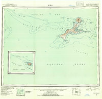
1951 · Kiska
USGS Topo · 1:250,000

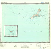
1951 · Rat Islands
USGS Topo · 1:250,000

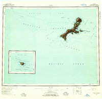
1958 · Kiska
USGS Topo · 1:250,000
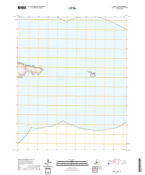
2021 · Kiska C-1 NW
USGS Topo · 1:25,000
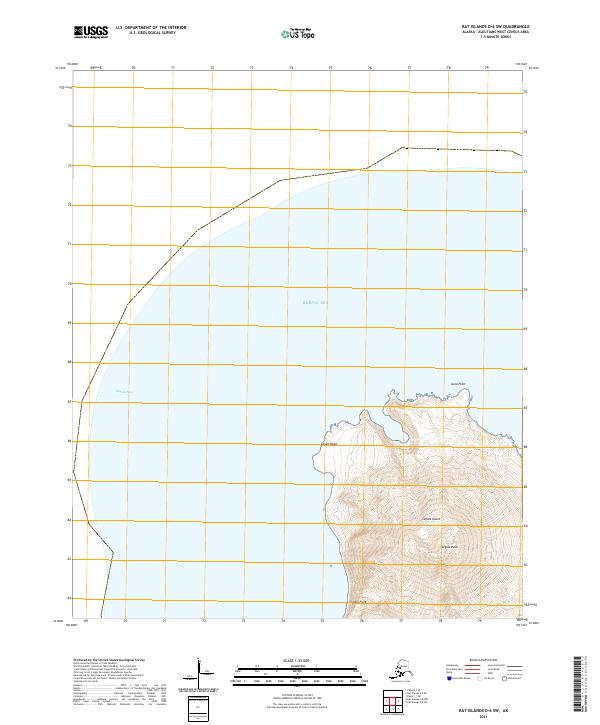
2021 · Rat Islands D-6 SW
USGS Topo · 1:25,000
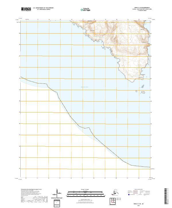
2021 · Kiska C-3 SE
USGS Topo · 1:25,000
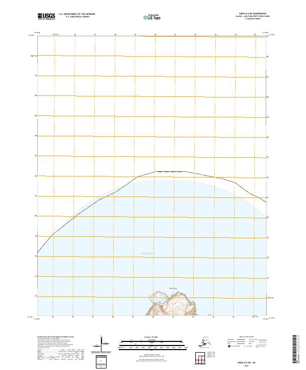
2021 · Kiska D-2 NE
USGS Topo · 1:25,000
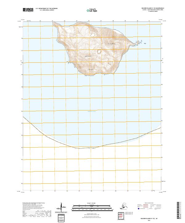
2021 · Buldier Island B-1 SE
USGS Topo · 1:25,000
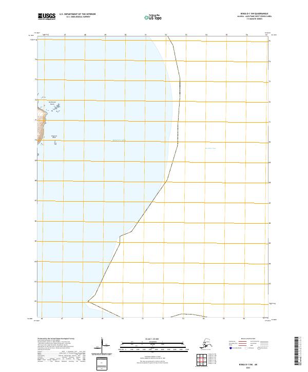
2021 · Kiska D-1 SW
USGS Topo · 1:25,000
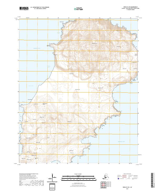
2021 · Kiska D-2 SE
USGS Topo · 1:25,000