Loading...
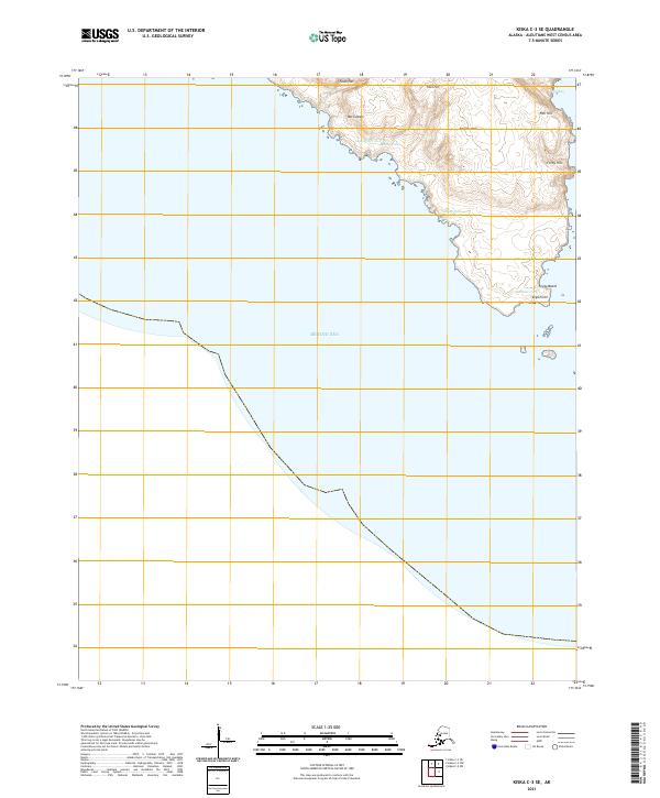
Loading map...2021 Map of Kiska C-3 SE
USGS Topo · Published 2021About this map
The Rat Islands landscape in the Aleutians West region is dominated by steep, coastal topography and a series of distinctively named heights. Elevations rise sharply from the Bering Sea coastline, marked by features such as Fawn Hill, Fool Hill, and Fender Hills. These landforms provide a sense of the isolated and windswept nature of the Aleutian chain, where the terrain is the primary guide for navigation and settlement study.
Find a feature on this map
17 named features on this map. Tap any name to fly to it.
Don’t see what you’re looking for? This feature index may not catch every label — zoom into the map to look around manually.
Map Details
Date Portrayed2021
Date Published2021
PublisherU.S. Geological Survey
Map TypeTopographic
Scale1:25,000
Physical Dimensions24 x 29 inches
Editions of this 2021 Kiska C-3 SE Map
This is the sole edition of this map. No revisions or reprints were ever made.
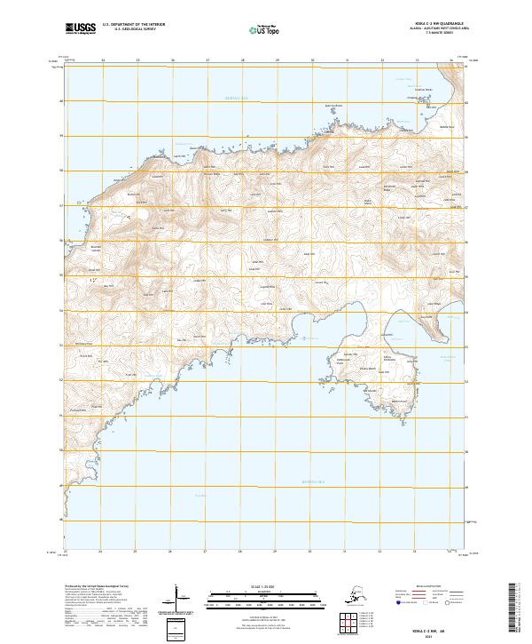
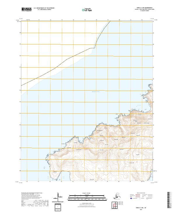
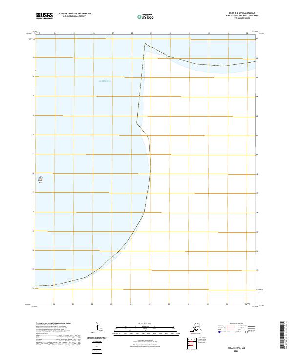
Other maps of this area


Featured Places
Source Details
SourceU.S. Geological Survey
CopyrightPublic Domain