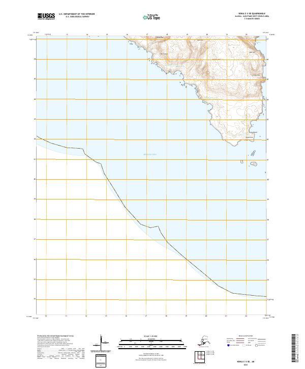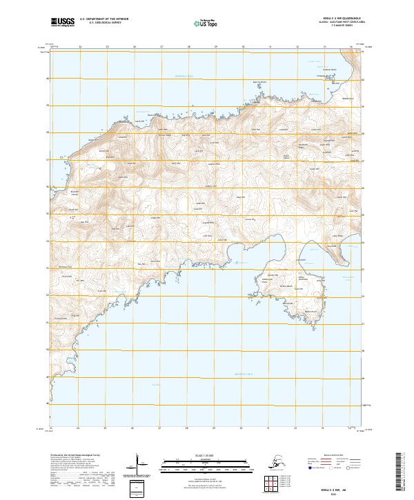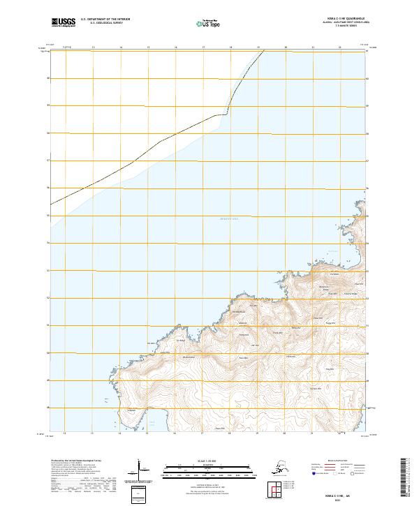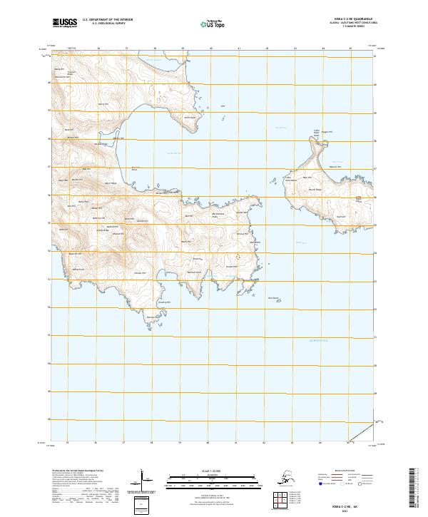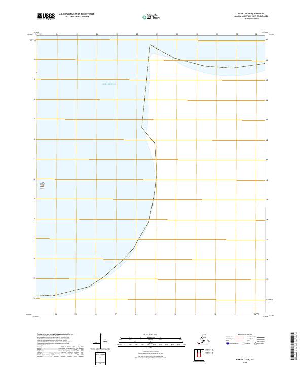
2021 Map of Kiska C-2 SW
USGS Topo · Published 2021About this map
The Bering Sea dominates this coastal survey, where the maritime boundary of the Aleutian Islands meets the open ocean. This remote maritime environment is defined by its isolation and the sharp transition from the deep waters to the westernmost landmasses of Alaska. A singular terrestrial landmark, Sobaka Rock, stands out as a critical navigational reference point for mariners navigating these northern latitudes. The map illustrates the structured division of this frontier through the Public Land Survey System, including t96s r238w and t97s-r240w-, which mark the remote townships and ranges assigned to this nearly uninhabited territory.
Find a feature on this map
15 named features on this map. Tap any name to fly to it.
Don’t see what you’re looking for? This feature index may not catch every label — zoom into the map to look around manually.
Map Details
Editions of this 2021 Kiska C-2 SW Map
This is the sole edition of this map. No revisions or reprints were ever made.