
1958 Map of Kiska
USGS Topo · Published 1958About this map
Kiska Volcano dominates the northern landscape of this island in the Rat Islands chain, serving as a prominent landmark for mariners navigating the Bering Sea and the Pacific Ocean. The geography reveals a complex coastline of strategic inlets, including Kiska Harbor and Gertrude Cove, which provided significant natural anchorages. Water resources are marked by West Kiska Lake, East Kiska Lake, and the brackish environments of Salmon Lagoon and Trout Lagoon. This survey, compiled from mid-century aerial photography, shows the island's isolation within the Third Judicial Division of Alaska. Surrounding maritime hazards are meticulously noted, from Buldir Reef in the west to the treacherous Segula Pass and Sea Lion Pass to the east, highlighting the navigational challenges of the Aleutian Islands during this era.
Find a feature on this map
46 named features on this map. Tap any name to fly to it.
Don’t see what you’re looking for? This feature index may not catch every label — zoom into the map to look around manually.
Map Details
Editions of this 1958 Kiska Map
This is the sole edition of this map. No revisions or reprints were ever made.
Other maps of this area

1951 · Kiska
USGS Topo · 1:250,000

1951 · Rat Islands
USGS Topo · 1:250,000
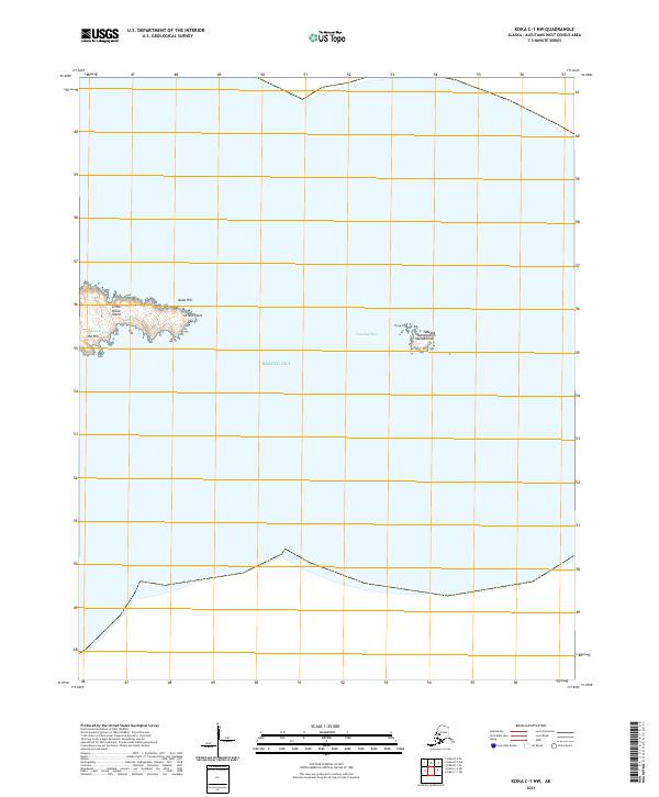
2021 · Kiska C-1 NW
USGS Topo · 1:25,000
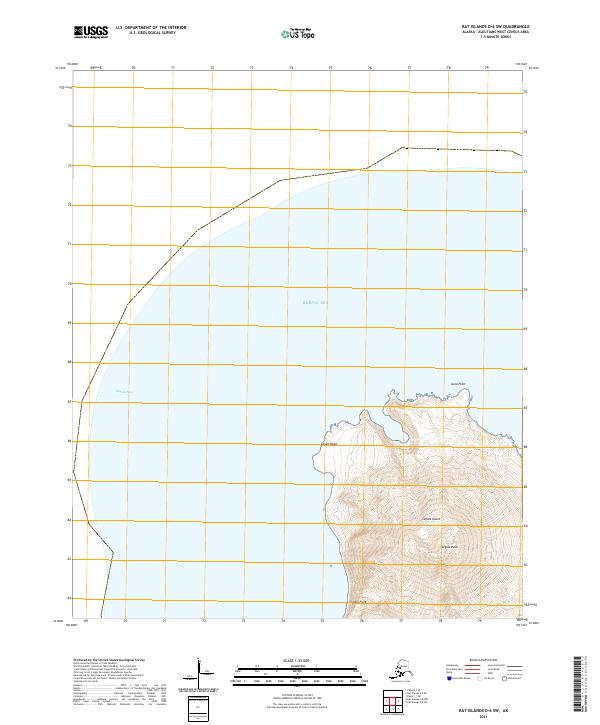
2021 · Rat Islands D-6 SW
USGS Topo · 1:25,000
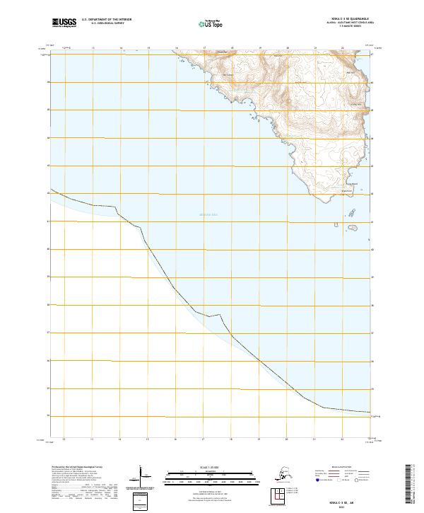
2021 · Kiska C-3 SE
USGS Topo · 1:25,000
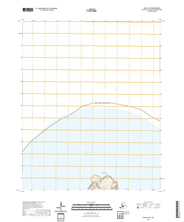
2021 · Kiska D-2 NE
USGS Topo · 1:25,000
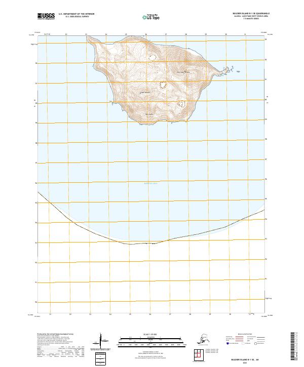
2021 · Buldier Island B-1 SE
USGS Topo · 1:25,000
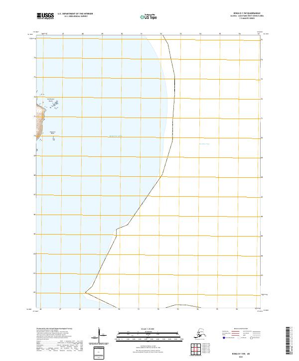
2021 · Kiska D-1 SW
USGS Topo · 1:25,000
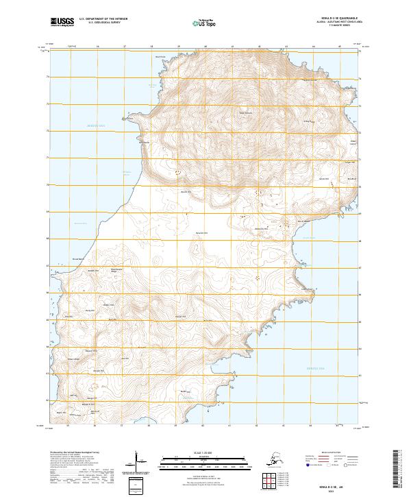
2021 · Kiska D-2 SE
USGS Topo · 1:25,000
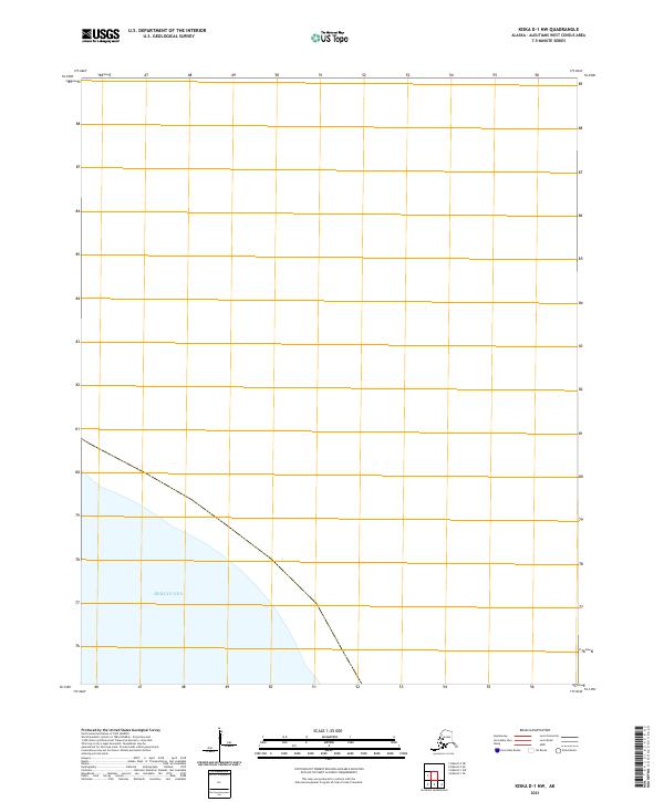
2021 · Kiska D-1 NW
USGS Topo · 1:25,000