2021 Map of Kiska D-1 NW
USGS Topo · Published 2021About this map
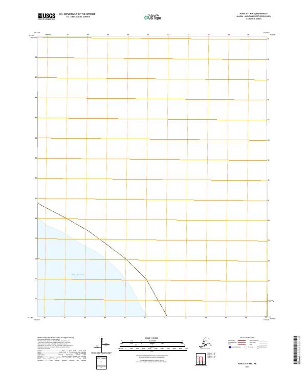
Bering Sea waters dominate the southwestern portion of this remote maritime quadrangle in the Aleutians West Census Area. This chart focuses on the open expanse where the sea meets the surveyed boundaries of T93s R235w. The minimal terrestrial presence emphasizes the isolation of this corner of the Aleutian chain, providing a precise spatial reference for the maritime environment as it was documented in 2021. Without inland settlements or infrastructure, the map serves as a vital record of the vast coastal interface in a region defined by its extreme northern latitude and oceanic character.
Find a feature on this map
2 named features on this map. Tap any name to fly to it.
Don’t see what you’re looking for? This feature index may not catch every label — zoom into the map to look around manually.
Map Details
Editions of this 2021 Kiska D-1 NW Map
This is the sole edition of this map. No revisions or reprints were ever made.