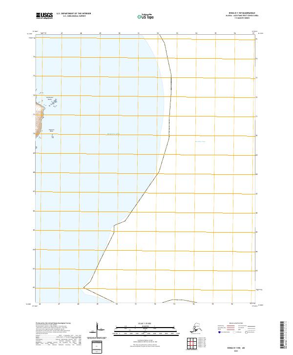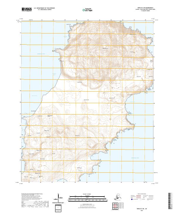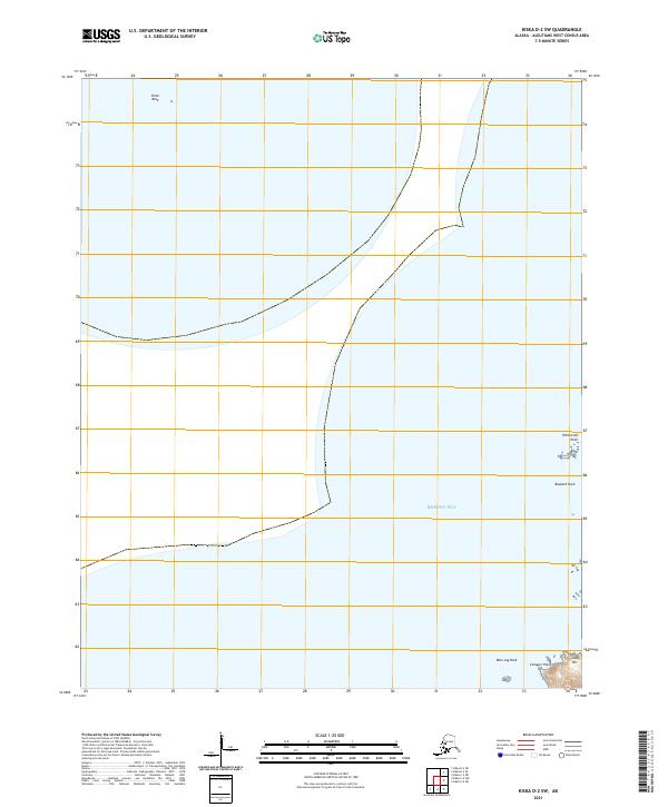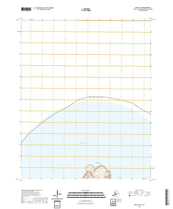
2021 Map of Kiska D-2 NE
USGS Topo · Published 2021About this map
Sirius Point stands as the primary land feature on this northern edge of Kiska Island, emerging from the surrounding Bering Sea. This 2021 study by the U.S. Geological Survey focuses on the volcanic northern tip of the island, where the land meets the water in a series of steep contours. The topography here is dictated by the rugged shoreline of the Aleutian chain, framed by the public land survey boundaries of T93s R236w and T93s R235w. This specific quadrant provides a detailed record of the coastline's geometry and elevation at the far reaches of the Aleutians West Census Area, capturing the precise shoreline position before natural erosive forces or shifting tides alter the island's profile.
Find a feature on this map
4 named features on this map. Tap any name to fly to it.
Don’t see what you’re looking for? This feature index may not catch every label — zoom into the map to look around manually.
Map Details
Editions of this 2021 Kiska D-2 NE Map
This is the sole edition of this map. No revisions or reprints were ever made.