2021 Map of Kiska D-2 SW
USGS Topo · Published 2021About this map
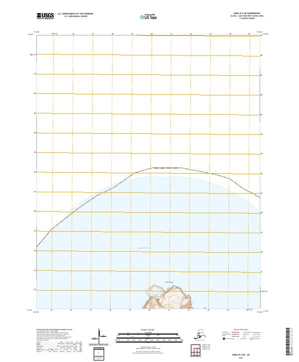
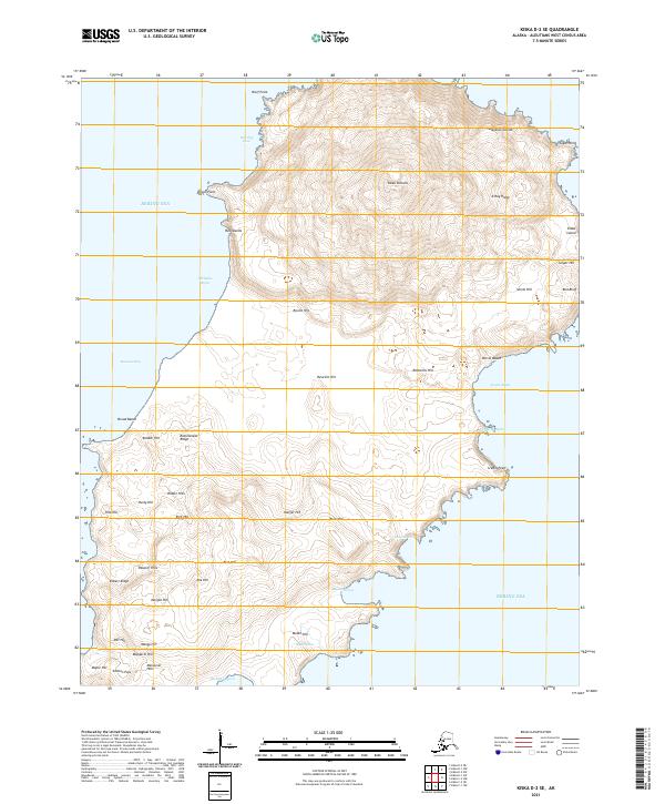
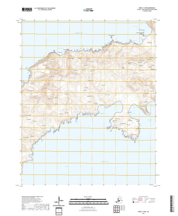
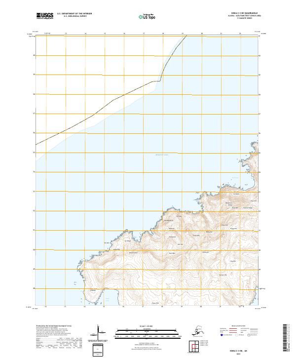
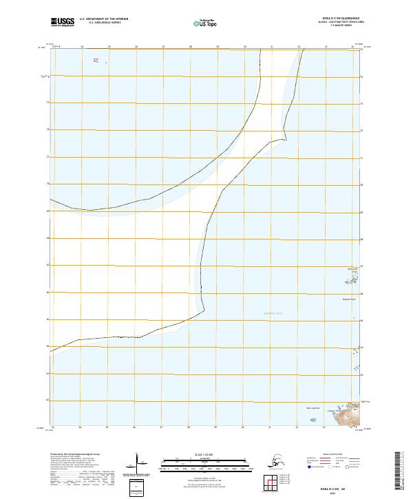
Bering Sea waters dominate this remote Aleutian landscape, where the jagged coastline of Kiska Island meets the North Pacific. The terrain is defined by prominent coastal landmarks used for maritime navigation, including the isolated Pillar Rock to the north and the sharp protrusions of Witchcraft Point and Buzzard Rock along the eastern shore. In the southeast corner, the land rises toward Lady Hill near the small peninsula of Conquer Point. The map provides a precise look at the township and range lines of t93s r238w and t94s r237w, illustrating the intersection of the Public Land Survey System with this volcanic island chain. With no roads or permanent settlements indicated, the map focuses on the natural topography and named offshore features like Blue Jay Rock.
Find a feature on this map
9 named features on this map. Tap any name to fly to it.
Don’t see what you’re looking for? This feature index may not catch every label — zoom into the map to look around manually.
Map Details
Editions of this 2021 Kiska D-2 SW Map
This is the sole edition of this map. No revisions or reprints were ever made.