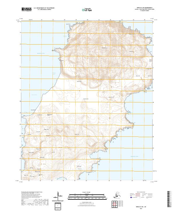
2021 Map of Kiska D-2 SE
USGS Topo · Published 2021About this map
Kiska Volcano dominates the northern reaches of this coastal landscape on Kiska Island, part of the Rat Islands chain in the Bering Sea. The terrain is defined by a dense network of named peaks and ridges, including X-Ray Ridge and Rattlesnake Ridge, suggesting the complex volcanic and military geography of the Aleutians. Along the indented coastline, numerous bights and coves like Warship Cove, Cockatoo Bight, and Reynard Cove provide natural landmarks for maritime study.
Find a feature on this map
52 named features on this map. Tap any name to fly to it.
Don’t see what you’re looking for? This feature index may not catch every label — zoom into the map to look around manually.
Map Details
Editions of this 2021 Kiska D-2 SE Map
This is the sole edition of this map. No revisions or reprints were ever made.
Other maps of this area

1951 · Kiska
USGS Topo · 1:250,000

1958 · Kiska
USGS Topo · 1:250,000
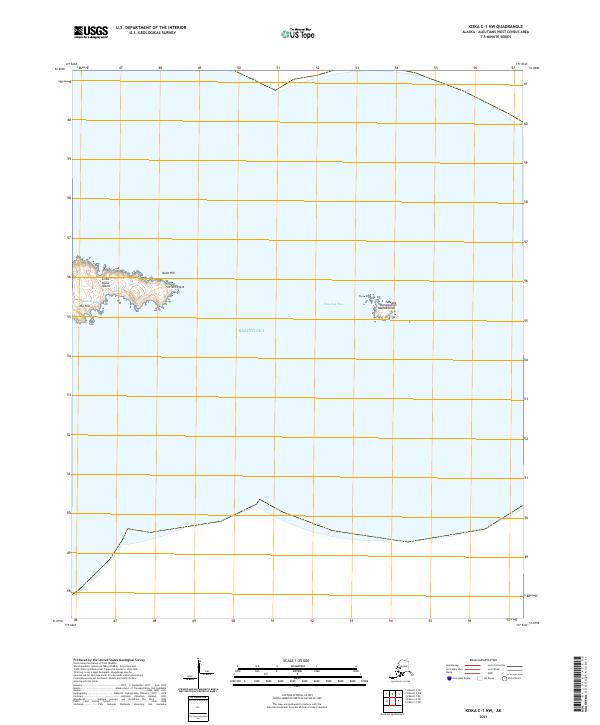
2021 · Kiska C-1 NW
USGS Topo · 1:25,000
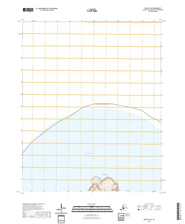
2021 · Kiska D-2 NE
USGS Topo · 1:25,000
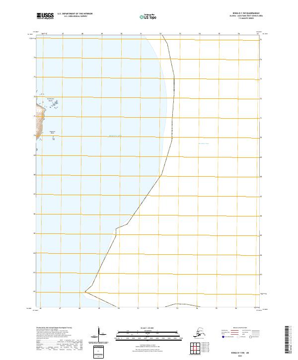
2021 · Kiska D-1 SW
USGS Topo · 1:25,000
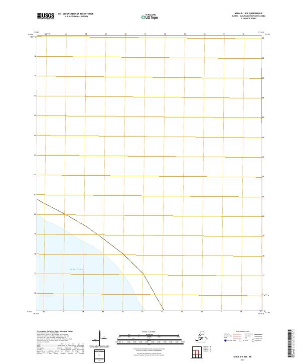
2021 · Kiska D-1 NW
USGS Topo · 1:25,000
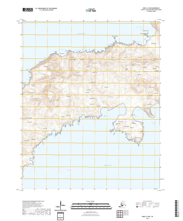
2021 · Kiska C-2 NW
USGS Topo · 1:25,000
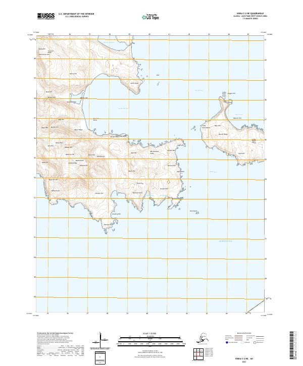
2021 · Kiska C-2 NE
USGS Topo · 1:25,000
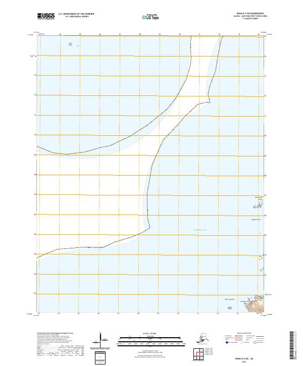
2021 · Kiska D-2 SW
USGS Topo · 1:25,000