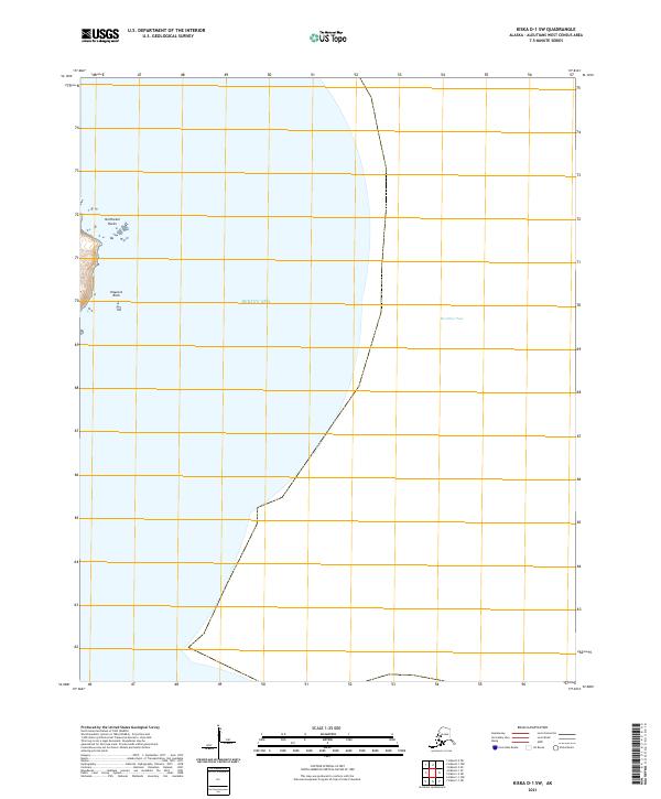
2021 Map of Kiska D-1 SW
USGS Topo · Published 2021About this map
The Bering Sea dominates this portion of the Aleutian landscape, where the waters of McArthur Pass cut through the maritime environment. The terrain is defined by isolated maritime landmarks such as Northeast Rocks and Haycock Rock, which serve as critical navigational points in an otherwise open expanse of water. This 2021 topographic study reflects the modern surveying of the Aleutians West Census Area, showing the exact coordinates and section lines for t93s r235w and t94s r235w. The map's focus on these specific coastal features provides a precise record of the shoreline and maritime hazards in this remote part of Alaska.
Find a feature on this map
6 named features on this map. Tap any name to fly to it.
Don’t see what you’re looking for? This feature index may not catch every label — zoom into the map to look around manually.
Map Details
Editions of this 2021 Kiska D-1 SW Map
This is the sole edition of this map. No revisions or reprints were ever made.
Other maps of this area

1951 · Kiska
USGS Topo · 1:250,000

1958 · Kiska
USGS Topo · 1:250,000
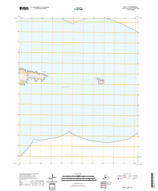
2021 · Kiska C-1 NW
USGS Topo · 1:25,000
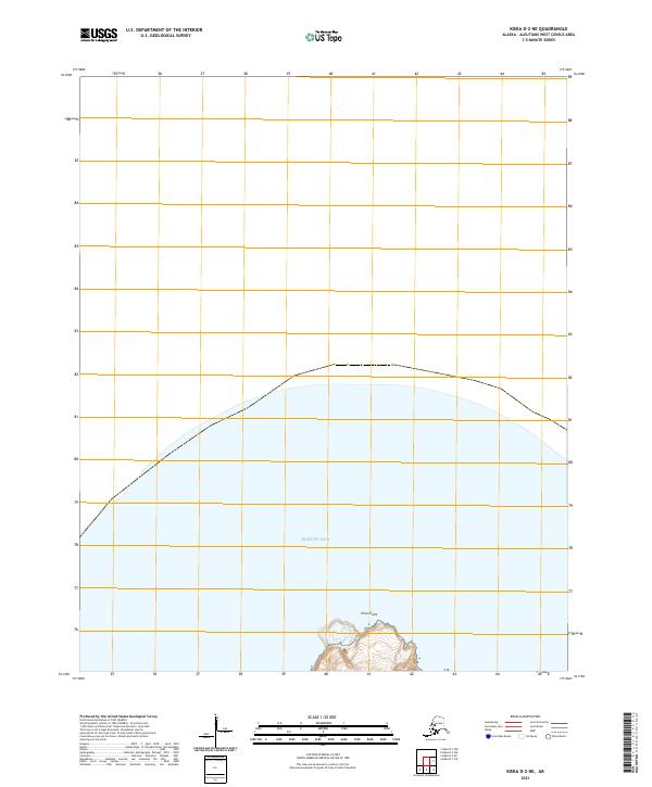
2021 · Kiska D-2 NE
USGS Topo · 1:25,000
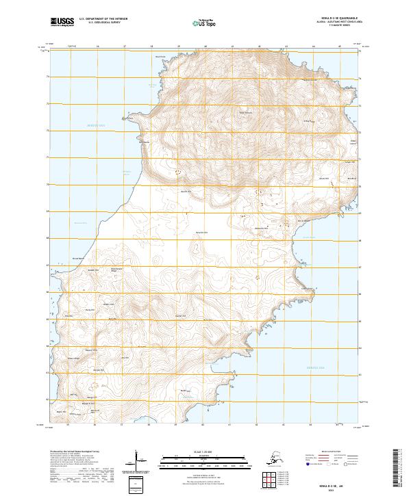
2021 · Kiska D-2 SE
USGS Topo · 1:25,000
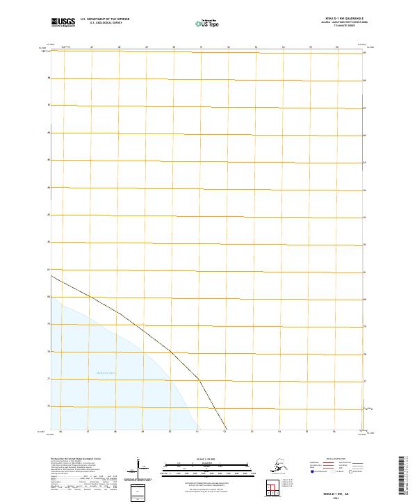
2021 · Kiska D-1 NW
USGS Topo · 1:25,000
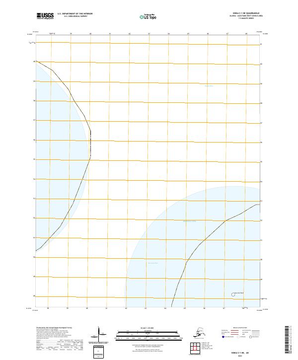
2021 · Kiska C-1 NE
USGS Topo · 1:25,000
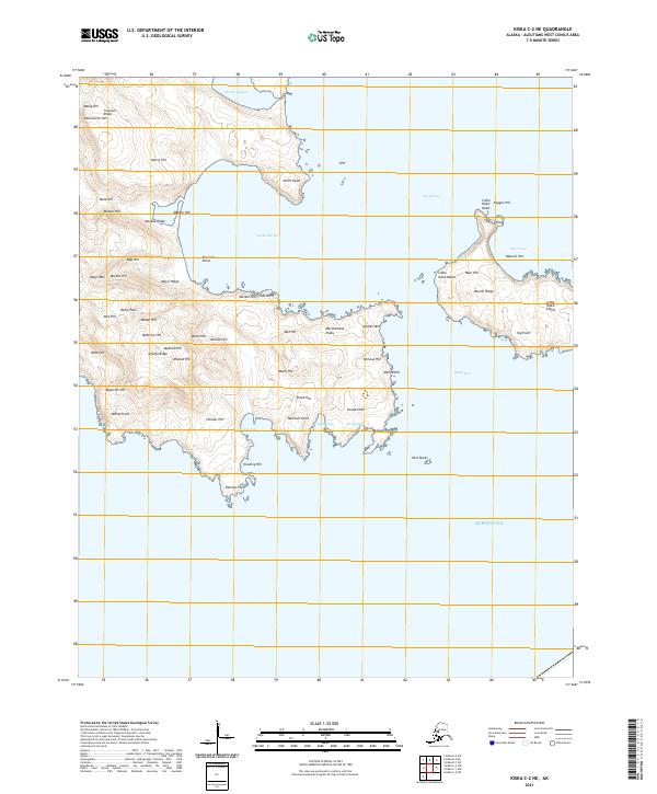
2021 · Kiska C-2 NE
USGS Topo · 1:25,000