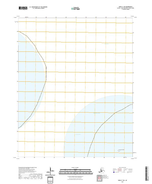
2021 Map of Kiska C-1 NE
USGS Topo · Published 2021About this map
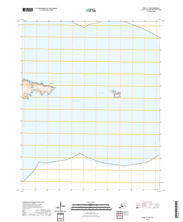
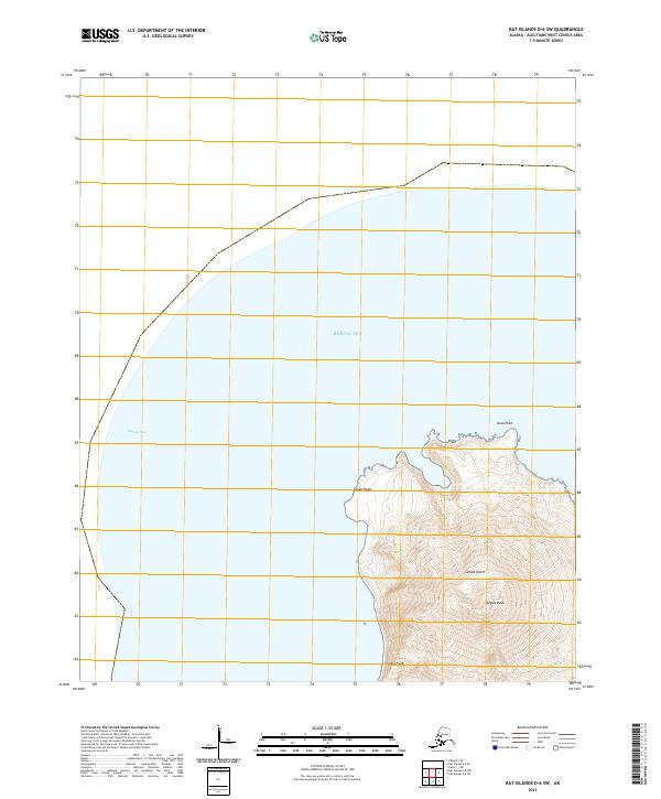
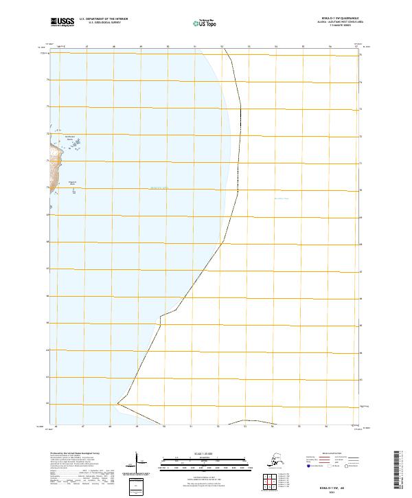
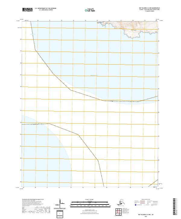
The Bering Sea dominates this maritime survey of a remote portion of the Aleutian Islands. The map focuses on the watery corridors of Segula Pass and Sea Lion Pass, essential passages through the archipelago. This 2021 update relies on SPOT satellite imagery and data from the Alaska Department of Transportation to delineate the stark coastline and navigation hazards of the region. Notable among these is the solitary Sea-Lion-Rock, a critical landmark for maritime navigation in these turbulent waters. The inclusion of Public Land Survey System data, such as t96s r233w, provides a administrative layer to a landscape otherwise defined by tide and swell, offering a precise look at the contemporary geographical state of the Rat Islands chain.
Find a feature on this map
5 named features on this map. Tap any name to fly to it.
Don’t see what you’re looking for? This feature index may not catch every label — zoom into the map to look around manually.
Map Details
Editions of this 2021 Kiska C-1 NE Map
This is the sole edition of this map. No revisions or reprints were ever made.