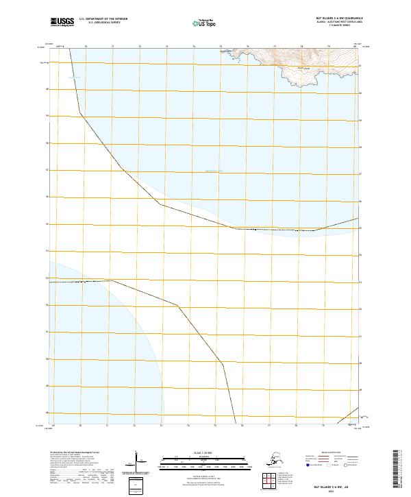
2021 Map of Rat Islands C-6 NW
USGS Topo · Published 2021About this map
Segula Island rises from the volcanic landscape of the western Aleutian chain, its northern coastline defining the upper edge of this survey. The terrain is marked by steep elevation gains leading away from the Bering Sea, culminating at Chugul Point on the island's northwestern tip. This maritime environment is dominated by the waters of Segula Pass, a vital corridor between the isolated peaks of the Rat Islands group.
Find a feature on this map
27 named features on this map. Tap any name to fly to it.
Don’t see what you’re looking for? This feature index may not catch every label — zoom into the map to look around manually.
Map Details
Editions of this 2021 Rat Islands C-6 NW Map
This is the sole edition of this map. No revisions or reprints were ever made.
Other maps of this area

1951 · Kiska
USGS Topo · 1:250,000

1951 · Rat Islands
USGS Topo · 1:250,000

1958 · Kiska
USGS Topo · 1:250,000
2021 · Rat Islands D-6 SW
USGS Topo · 1:25,000
2021 · Kiska C-1 NE
USGS Topo · 1:25,000
2021 · Rat Islands D-6 SE
USGS Topo · 1:25,000
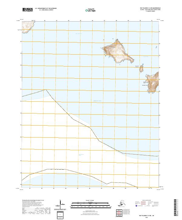
2021 · Rat Islands C-6 NE
USGS Topo · 1:25,000
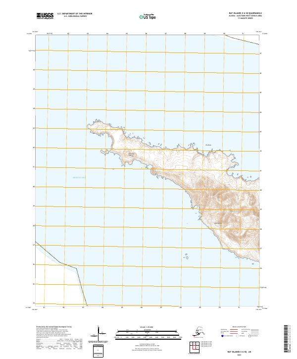
2021 · Rat Islands C-6 SE
USGS Topo · 1:25,000