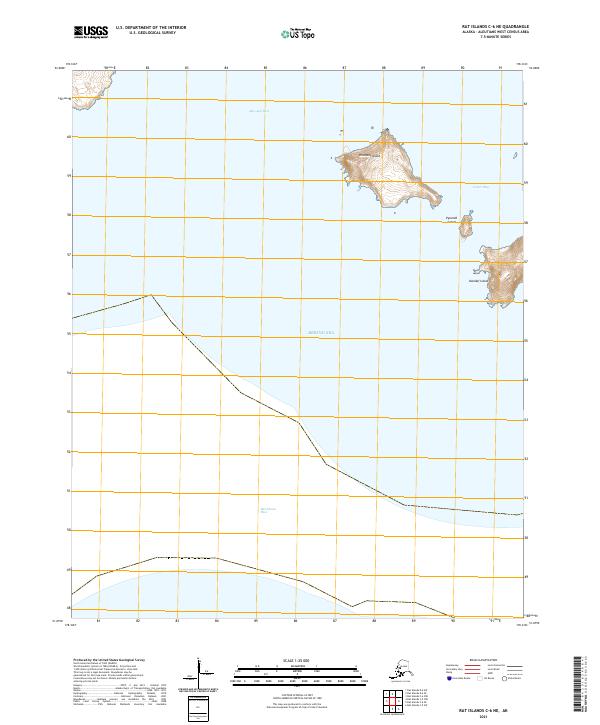
2021 Map of Rat Islands C-6 NE
USGS Topo · Published 2021About this map
Khvostof Island dominates the northern reaches of this maritime survey, characterized by its sharp elevation contours and coastal indentations. Situated within the Bering Sea, this volcanic landmass is separated from the neighboring Davidof Island by the waters of Khvostof Pass. The map details the specific topographic relief of these uninhabited islands, providing a look at the natural harbor of Crater Bay and the smaller Pyramid Island positioned between the larger landmasses.
Find a feature on this map
12 named features on this map. Tap any name to fly to it.
Don’t see what you’re looking for? This feature index may not catch every label — zoom into the map to look around manually.
Map Details
Editions of this 2021 Rat Islands C-6 NE Map
This is the sole edition of this map. No revisions or reprints were ever made.
Other maps of this area

1951 · Rat Islands
USGS Topo · 1:250,000
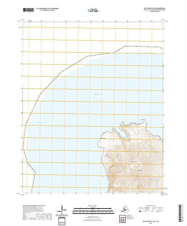
2021 · Rat Islands D-6 SW
USGS Topo · 1:25,000
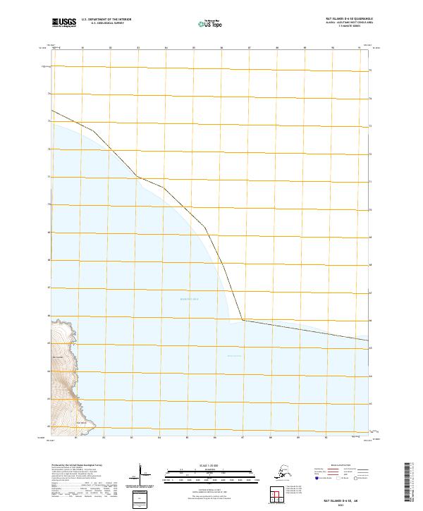
2021 · Rat Islands D-6 SE
USGS Topo · 1:25,000
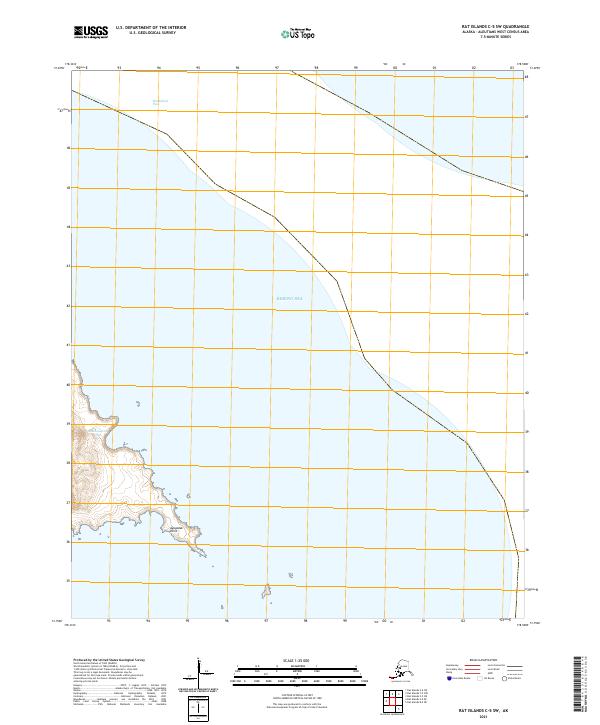
2021 · Rat Islands C-5 SW
USGS Topo · 1:25,000
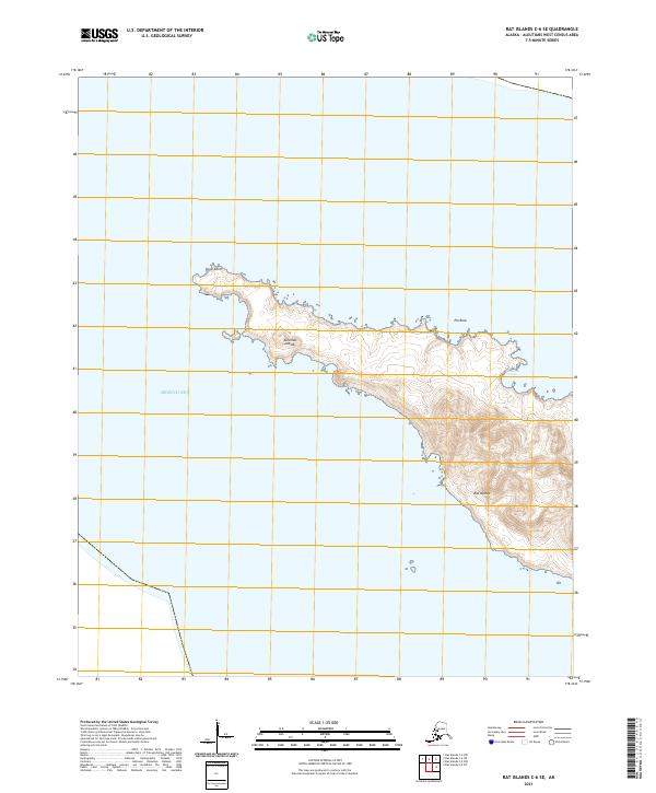
2021 · Rat Islands C-6 SE
USGS Topo · 1:25,000
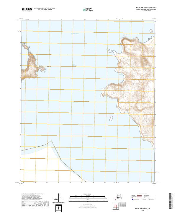
2021 · Rat Islands C-5 NW
USGS Topo · 1:25,000
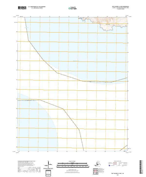
2021 · Rat Islands C-6 NW
USGS Topo · 1:25,000