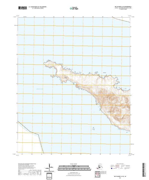
2021 Map of Rat Islands C-6 SE
USGS Topo · Published 2021About this map
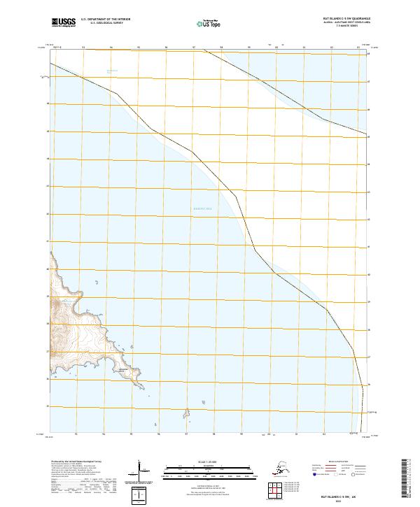
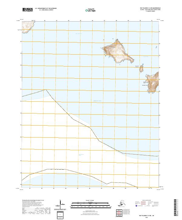
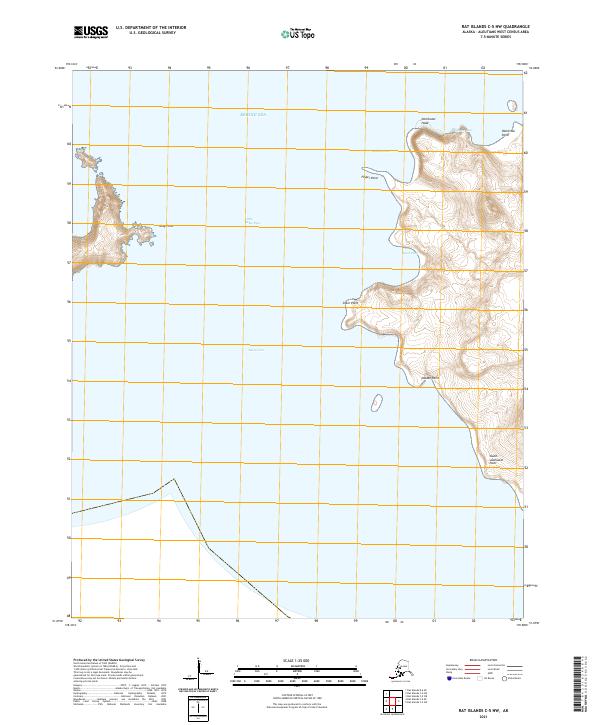
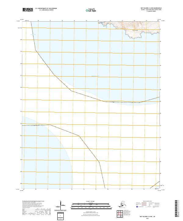
Rat Islands terrain dominates this coastal study within the Aleutian Islands chain, detailing a remote landscape where the land meets the Bering Sea. The map focuses on the eastern reaches of an island landmass, defined by the sharp northern protrusion of Krysi Point and the sheltered waters of Gunners Cove to the southeast. Offshore hazards like Pin Rock are clearly marked, illustrating the maritime nature of this subarctic environment. The topographic data reveals a steep, ridge-driven interior that rises sharply from the shoreline, characteristic of the volcanic geography found throughout this portion of Alaska. The survey captures the uninhabited state of these landforms, where the primary features are named coastal points and coves rather than human settlements.
Find a feature on this map
10 named features on this map. Tap any name to fly to it.
Don’t see what you’re looking for? This feature index may not catch every label — zoom into the map to look around manually.
Map Details
Editions of this 2021 Rat Islands C-6 SE Map
This is the sole edition of this map. No revisions or reprints were ever made.