
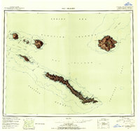
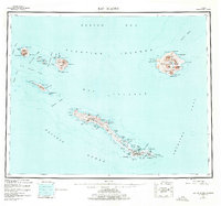
1951 Map of Rat Islands
USGS Topo · Published 1952About this map
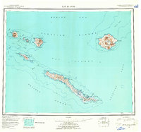
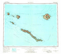
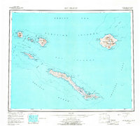
The Rat Islands chain emerges from the intersection of the Bering Sea and the Pacific Ocean in this mid-century reconnaissance study. The landscape is defined by its volcanic origins and strategic location, most notably on Amchitka Island, which features a Military Airport and infrastructure at Constantine Harbor. This presence reflects the era’s geopolitical importance following World War II, when the Aleutians served as a vital northern Pacific outpost.
Find a feature on this map
61 named features on this map. Tap any name to fly to it.
Don’t see what you’re looking for? This feature index may not catch every label — zoom into the map to look around manually.
Map Details
Editions of this 1951 Rat Islands Map
7 editions found
Other maps of this area

1951 · Kiska
USGS Topo · 1:250,000

1958 · Kiska
USGS Topo · 1:250,000
2021 · Rat Islands D-2 SW
USGS Topo · 1:25,000
2021 · Rat Islands D-6 SW
USGS Topo · 1:25,000
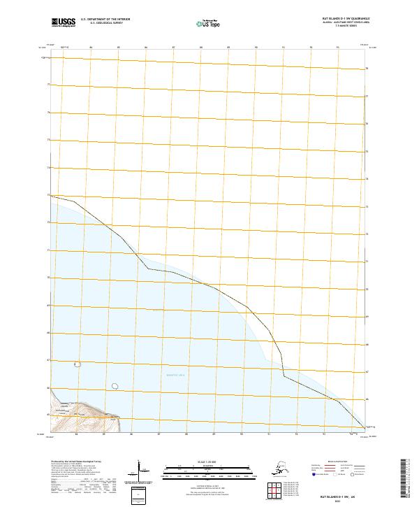
2021 · Rat Islands D-1 SW
USGS Topo · 1:25,000
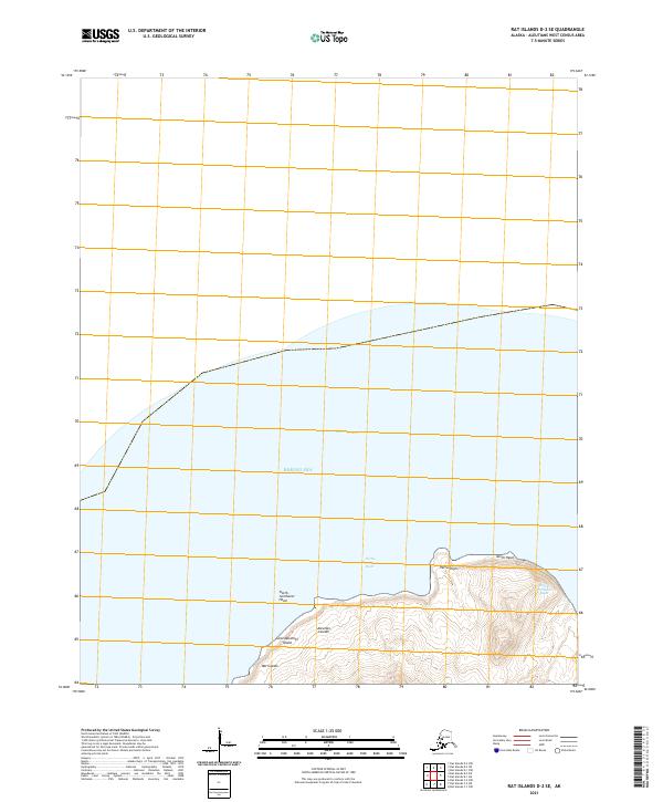
2021 · Rat Islands D-2 SE
USGS Topo · 1:25,000
2021 · Kiska C-1 NE
USGS Topo · 1:25,000
2021 · Rat Islands D-1 SE
USGS Topo · 1:25,000
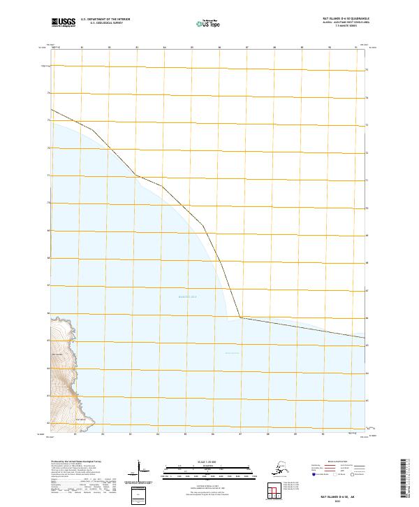
2021 · Rat Islands D-6 SE
USGS Topo · 1:25,000
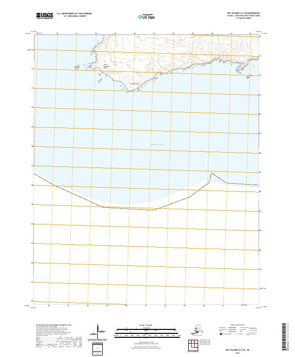
2021 · Rat Islands A-3 SE
USGS Topo · 1:25,000