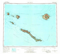
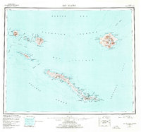
1951 Map of Rat Islands
USGS Topo · Published 1967About this map
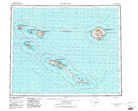
Amchitka Island anchors this mid-century reconnaissance survey of the volcanic archipelago between the Bering Sea and the Pacific Ocean. Compiled from 1940s aerial photography and hydrographic charts, the map details the complex maritime geography of the Rat Islands group, including Segula Island, Rat Island, and the twin peaks of Little Sitkin Island. The southern reach of Amchitka reveals a cluster of activity near Constantine Harbor, where the presence of the Military Academy reflects the strategic importance of these remote Aleutian outposts during the post-war era. Nautical features like Oglala Pass and Amchitka Pass delineate the deep-water channels used by vessels navigating through this string of islands. From the sheltered waters of Kirilof Bay to the steep relief of Davidof Island, the map provides an exacting look at a landscape defined by its isolated coastal points and subarctic terrain.
Find a feature on this map
64 named features on this map. Tap any name to fly to it.
Don’t see what you’re looking for? This feature index may not catch every label — zoom into the map to look around manually.
Map Details
Editions of this 1951 Rat Islands Map
7 editions found
Other maps of this area

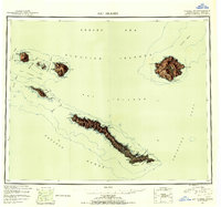
1951 · Kiska
USGS Topo · 1:250,000

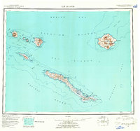
1951 · Rat Islands
USGS Topo · 1:250,000

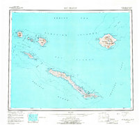
1958 · Kiska
USGS Topo · 1:250,000
2021 · Rat Islands D-2 SW
USGS Topo · 1:25,000
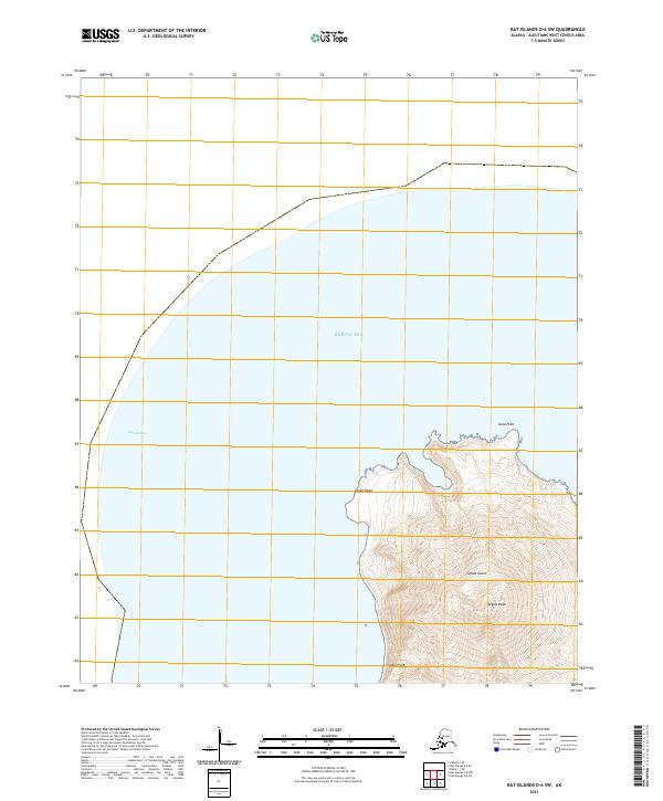
2021 · Rat Islands D-6 SW
USGS Topo · 1:25,000
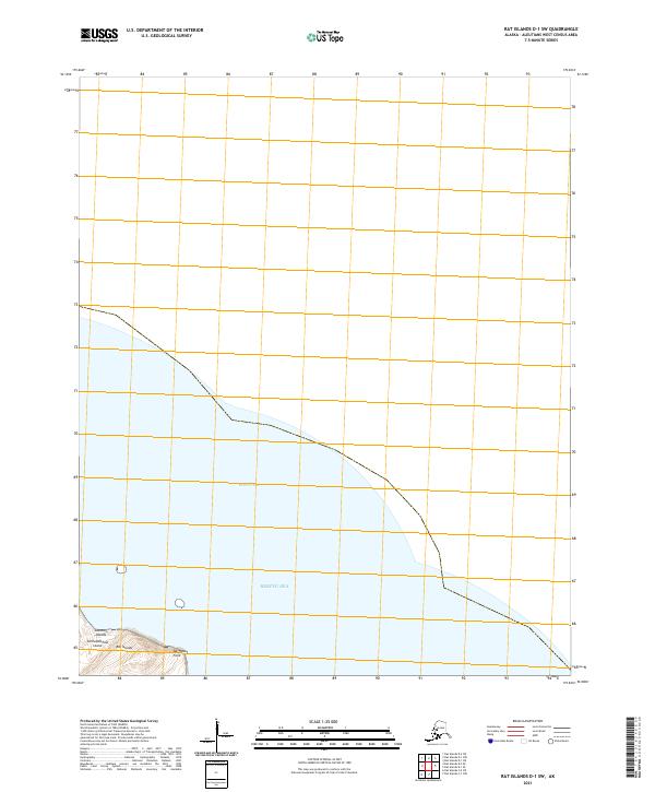
2021 · Rat Islands D-1 SW
USGS Topo · 1:25,000
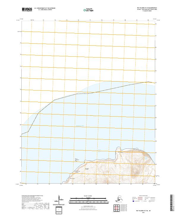
2021 · Rat Islands D-2 SE
USGS Topo · 1:25,000
2021 · Kiska C-1 NE
USGS Topo · 1:25,000
2021 · Rat Islands D-1 SE
USGS Topo · 1:25,000
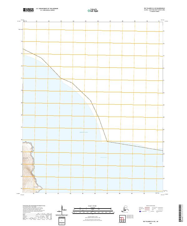
2021 · Rat Islands D-6 SE
USGS Topo · 1:25,000