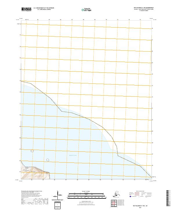
2021 Map of Rat Islands D-1 SW
USGS Topo · Published 2021About this map
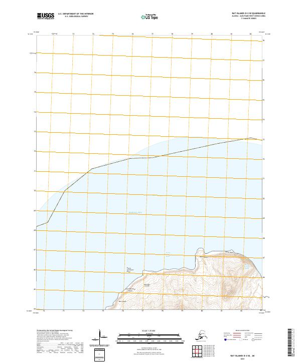
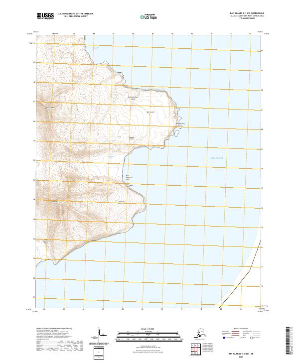
Semisopochnoi Island, part of the western Rat Islands in the larger Aleutian Islands chain, marks the primary landmass in this maritime-heavy survey. The topography focus is concentrated on the northernmost tip of the volcanic island, specifically around Northeast Point, where the land abruptly meets the Bering Sea. The map details the elevation contours and coastal boundaries for this isolated terrain, providing a look at the natural coastline before it descends into the open water. Navigational and administrative markers include the township designation t94s r221w, illustrating how the Public Land Survey System extends even to these distant Alaskan outposts.
Find a feature on this map
6 named features on this map. Tap any name to fly to it.
Don’t see what you’re looking for? This feature index may not catch every label — zoom into the map to look around manually.
Map Details
Editions of this 2021 Rat Islands D-1 SW Map
This is the sole edition of this map. No revisions or reprints were ever made.