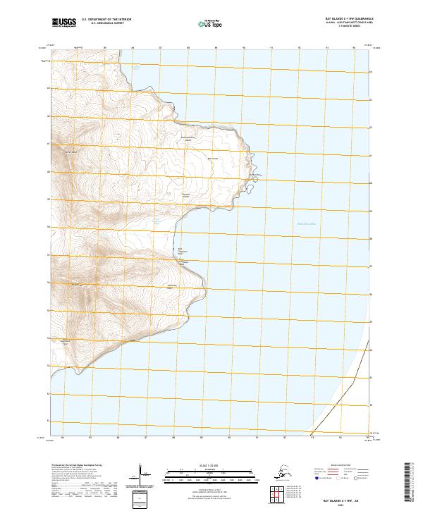
2021 Map of Rat Islands C-1 NW
USGS Topo · Published 2021About this map
Semisopochnoi Island, part of the volcanic Rat Islands chain in the Aleutian Islands, presents a complex coastal and mountain landscape. The western portion of the map is dominated by the steep elevations of Perret Ridge and the peak of Ragged Top, reflecting the island's active tectonic origins. The coastline is deeply defined by a series of named maritime landmarks, including the East-northeast Indent and the sheltered East-southeast Bight. Strategic maritime points such as Pochnoi Point and East-southeast Head serve as primary identifiers for the island's profile against the Bering Sea. This modern survey provides precise contouring of these uninhabited landforms, illustrating the extreme isolation and volcanic geography typical of the western Aleutian chain.
Find a feature on this map
17 named features on this map. Tap any name to fly to it.
Don’t see what you’re looking for? This feature index may not catch every label — zoom into the map to look around manually.
Map Details
Editions of this 2021 Rat Islands C-1 NW Map
This is the sole edition of this map. No revisions or reprints were ever made.
Other maps of this area

1951 · Rat Islands
USGS Topo · 1:250,000
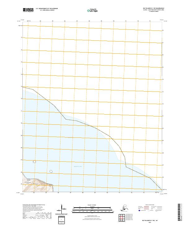
2021 · Rat Islands D-1 SW
USGS Topo · 1:25,000
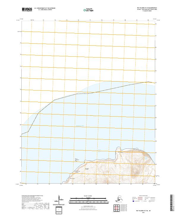
2021 · Rat Islands D-2 SE
USGS Topo · 1:25,000
2021 · Rat Islands D-1 SE
USGS Topo · 1:25,000
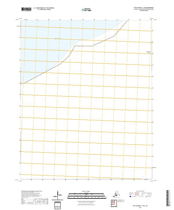
2021 · Rat Islands C-1 SW
USGS Topo · 1:25,000
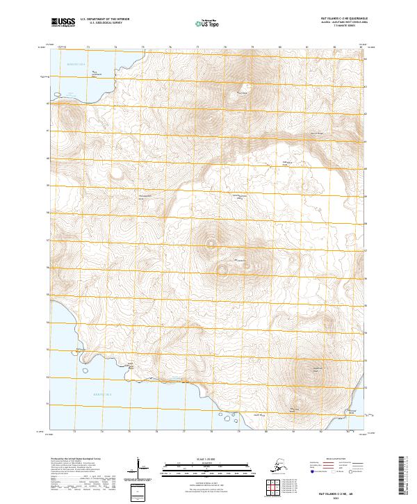
2021 · Rat Islands C-2 NE
USGS Topo · 1:25,000
2021 · Rat Islands C-2 SE
USGS Topo · 1:25,000