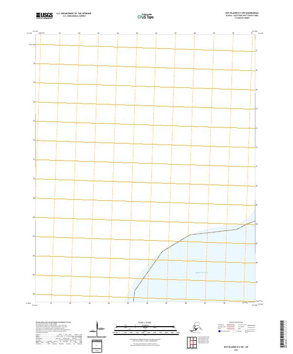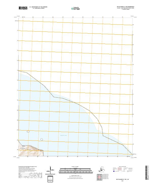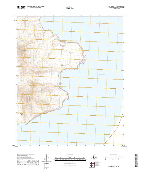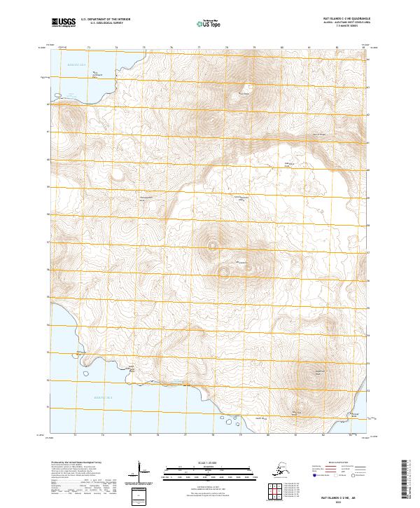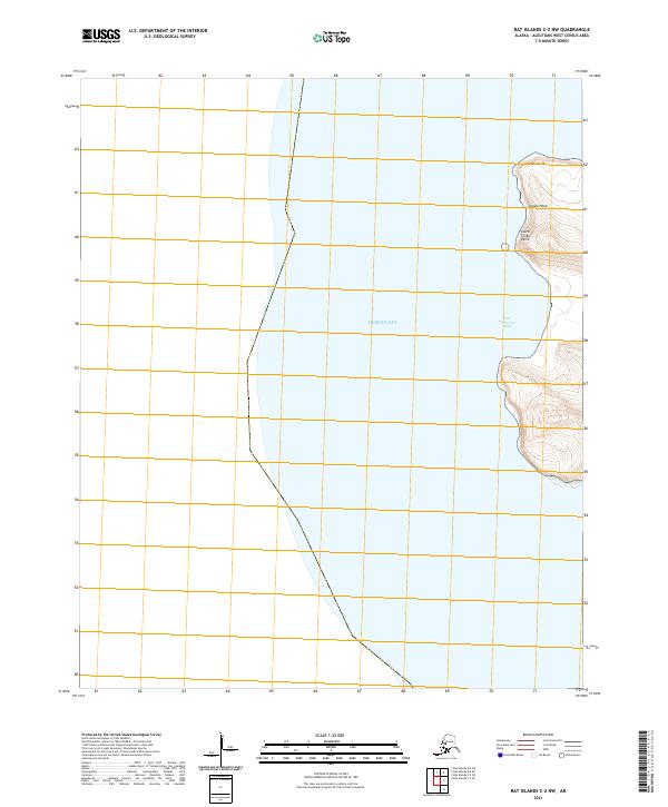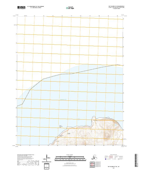
2021 Map of Rat Islands D-2 SE
USGS Topo · Published 2021About this map
Semisopochnoi Island rises from the Bering Sea in this topographical study of the northernmost reaches of the Rat Islands chain. Part of the larger Aleutian Islands arc, the landscape shown here is defined by stark coastal features and steep elevations. Distinctive promontories such as Petrel Point and North Head mark the transition from the island's interior to the surrounding waters, where the North-northwest Bight and North-northeast Bight indent the shoreline. The mapping of the North-northwest Head provides a clear view of the island's volcanic profile, where dramatic contour lines reveal a terrain shaped by tectonic forces rather than human development. The absence of roads or settlements underscores the isolation of this maritime environment in the early 21st century.
Find a feature on this map
11 named features on this map. Tap any name to fly to it.
Don’t see what you’re looking for? This feature index may not catch every label — zoom into the map to look around manually.
Map Details
Editions of this 2021 Rat Islands D-2 SE Map
This is the sole edition of this map. No revisions or reprints were ever made.