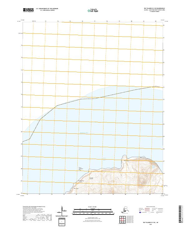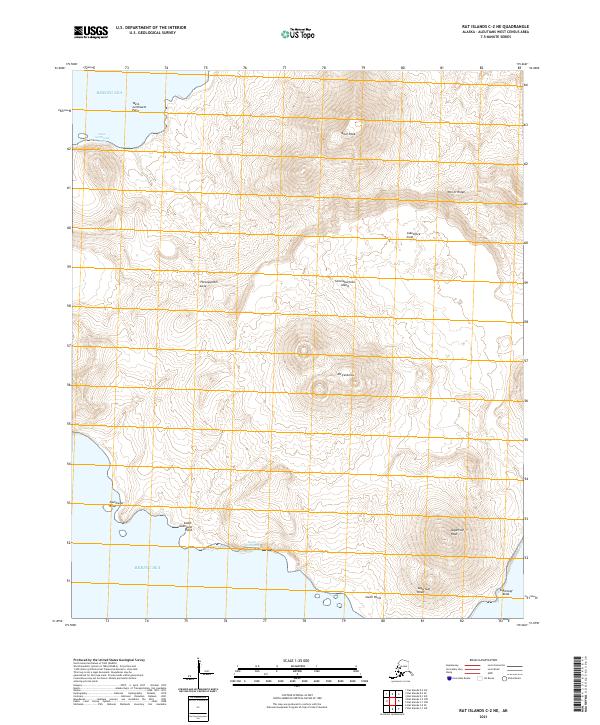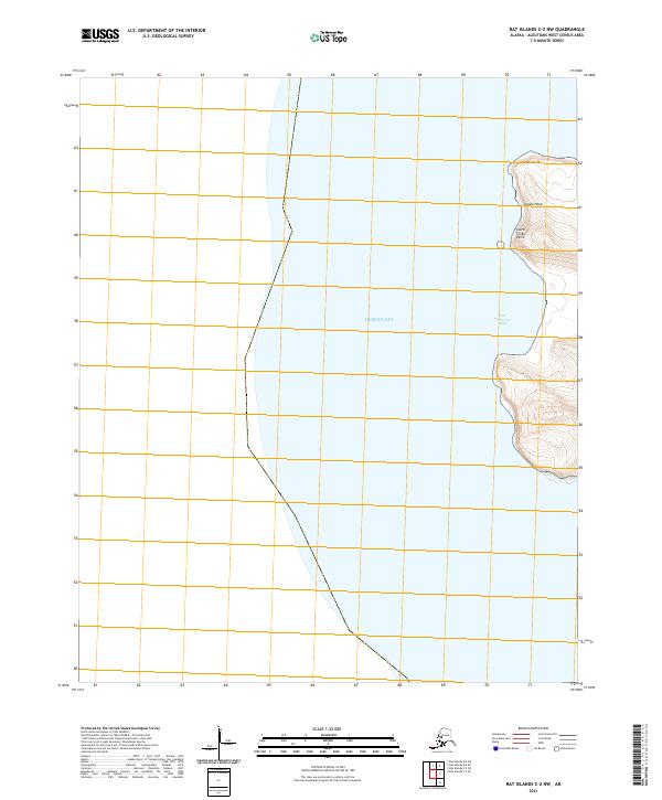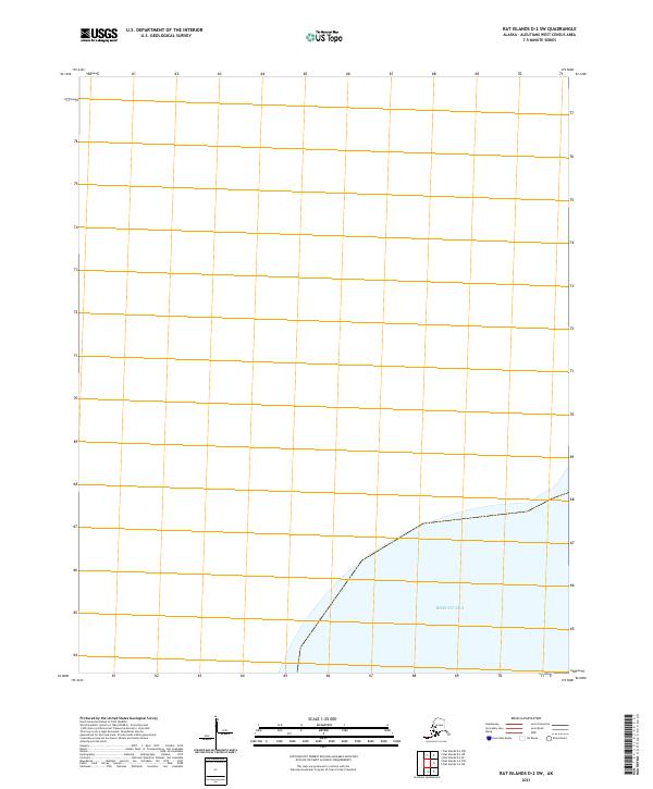
2021 Map of Rat Islands D-2 SW
USGS Topo · Published 2021About this map
The Bering Sea dominates the southern reaches of this Aleutian island survey, where the vast maritime boundary meets the shoreline of the Rat Islands chain. This 2021 edition provides a precise view of the maritime and land divisions within the T94s R222w township and range block, marking the official section boundaries used for land management in this isolated portion of the Aleutians West Census Area. The map highlights the transition from open sea to terrestrial survey points, illustrating how modern cartographers partition these uninhabited island terrains into numbered sections for legal and environmental reference. With no established settlements or infrastructure printed on the sheet, the focus remains entirely on the physical geography and the administrative grid that overlays the northern Pacific frontier.
Find a feature on this map
11 named features on this map. Tap any name to fly to it.
Don’t see what you’re looking for? This feature index may not catch every label — zoom into the map to look around manually.
Map Details
Editions of this 2021 Rat Islands D-2 SW Map
This is the sole edition of this map. No revisions or reprints were ever made.