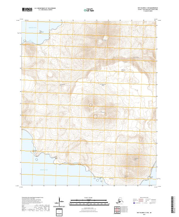
2021 Map of Rat Islands C-2 NE
USGS Topo · Published 2021About this map
Semisopochnoi Island presents a landscape dominated by volcanic landforms within the Aleutians West area of the Bering Sea. The terrain is defined by dramatic elevations, most notably the central peak of Mt Cerberus and the northern prominence of Anvil Peak. The island's complex topography includes numerous volcanic features such as Lakeshore Cone, Threequarter Cone, and Sugarloaf Peak, illustrating the active geological forces that shaped this portion of the Rat Islands group. The coastline is marked by distinct geographic markers, from the northern West-northwest Point and West-northwest Bight down to the southern reaches of South Point and Sugarloaf Head. These features, along with Perret Ridge and Southwest Knob, provide a comprehensive look at this uninhabited island's natural structure as documented by the U.S. Geological Survey.
Find a feature on this map
22 named features on this map. Tap any name to fly to it.
Don’t see what you’re looking for? This feature index may not catch every label — zoom into the map to look around manually.
Map Details
Editions of this 2021 Rat Islands C-2 NE Map
This is the sole edition of this map. No revisions or reprints were ever made.
Other maps of this area

1951 · Rat Islands
USGS Topo · 1:250,000
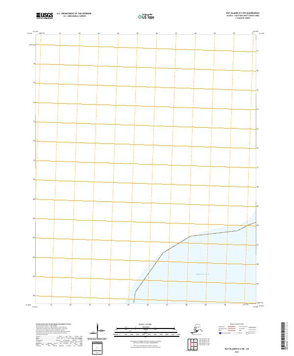
2021 · Rat Islands D-2 SW
USGS Topo · 1:25,000
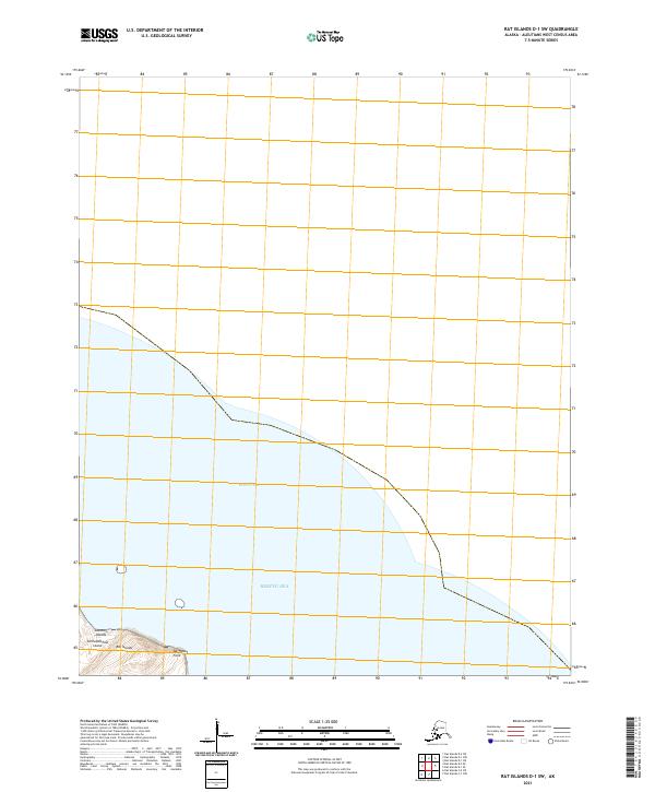
2021 · Rat Islands D-1 SW
USGS Topo · 1:25,000
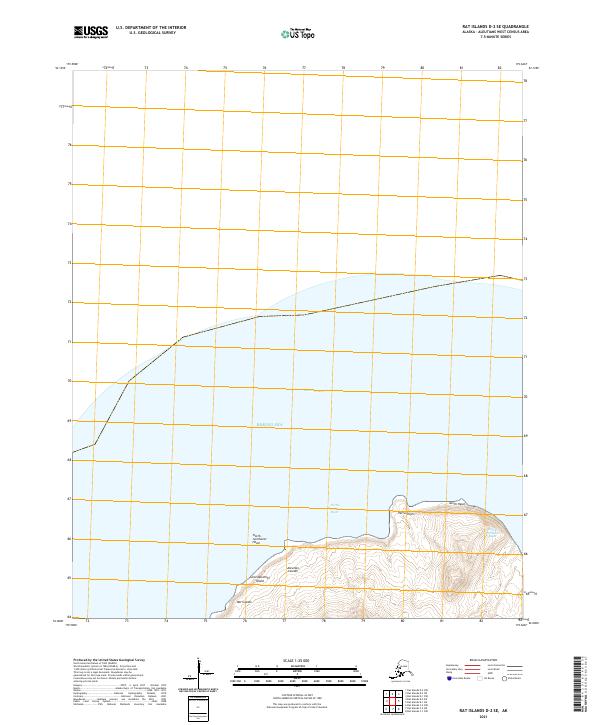
2021 · Rat Islands D-2 SE
USGS Topo · 1:25,000
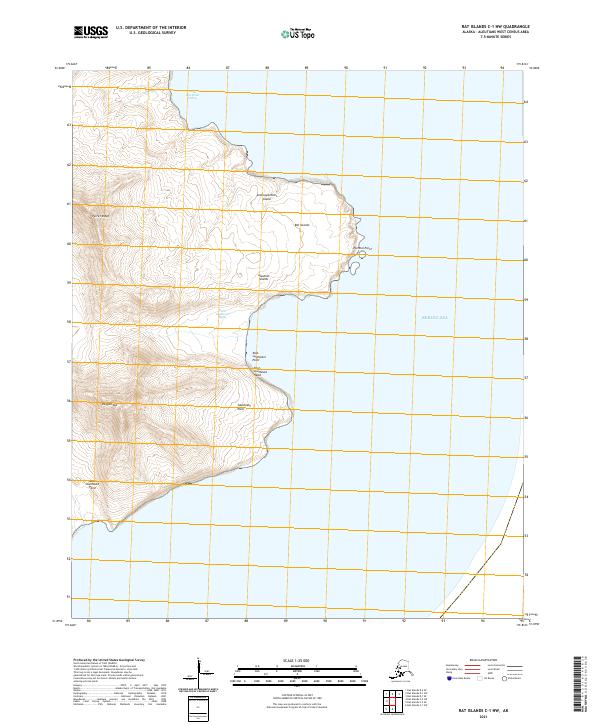
2021 · Rat Islands C-1 NW
USGS Topo · 1:25,000
2021 · Rat Islands C-1 SW
USGS Topo · 1:25,000
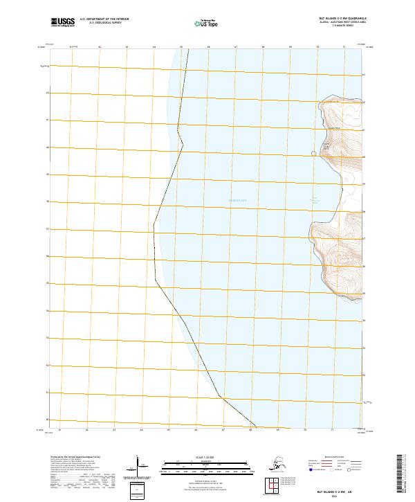
2021 · Rat Islands C-2 NW
USGS Topo · 1:25,000
2021 · Rat Islands C-2 SE
USGS Topo · 1:25,000