2021 Map of Rat Islands C-1 SW
USGS Topo · Published 2021About this map
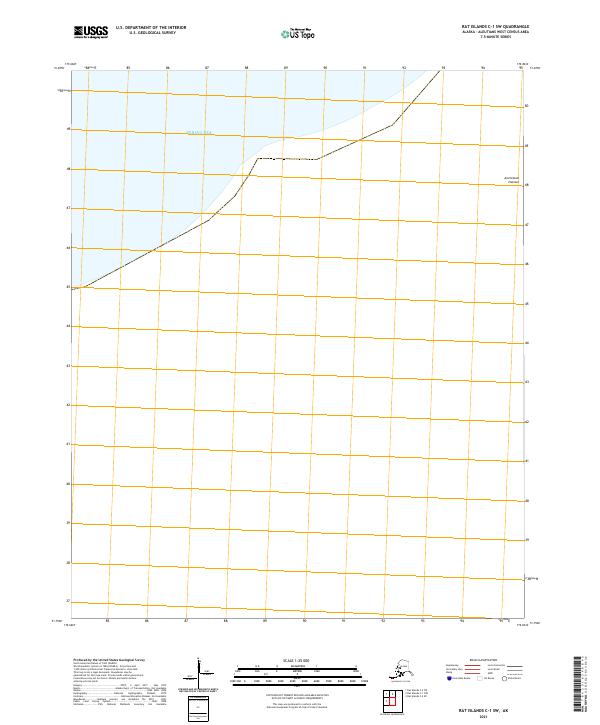
Bering Sea waters dominate the northern reaches of this maritime survey in the Aleutian chain. The chart focuses on a specific maritime and terrestrial boundary within the Rat Islands C-1 SW quadrangle, where the open ocean meets the rugged coastal features of the archipelago. One of the few terrestrial identifiers present is Amchixtam Chaxsxii, a coastal terrain feature along the eastern edge of the map. Prepared by the U.S. Geological Survey, the document serves as a precise record of the Public Land Survey System grid, specifically identifying t96s r221w, while noting that contemporary elevation data for the area's contours did not meet standard accuracy requirements at the time of publication.
Find a feature on this map
3 named features on this map. Tap any name to fly to it.
Don’t see what you’re looking for? This feature index may not catch every label — zoom into the map to look around manually.
Map Details
Editions of this 2021 Rat Islands C-1 SW Map
This is the sole edition of this map. No revisions or reprints were ever made.