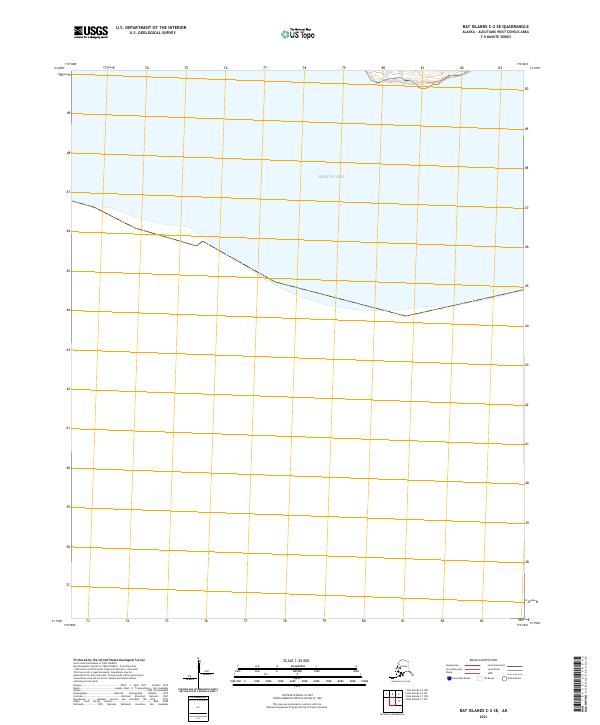
2021 Map of Rat Islands C-2 SE
USGS Topo · Published 2021About this map
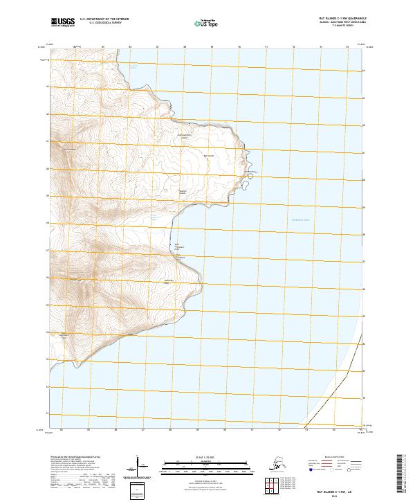
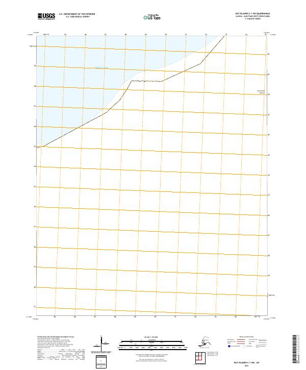
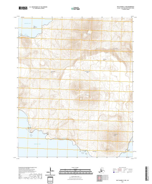
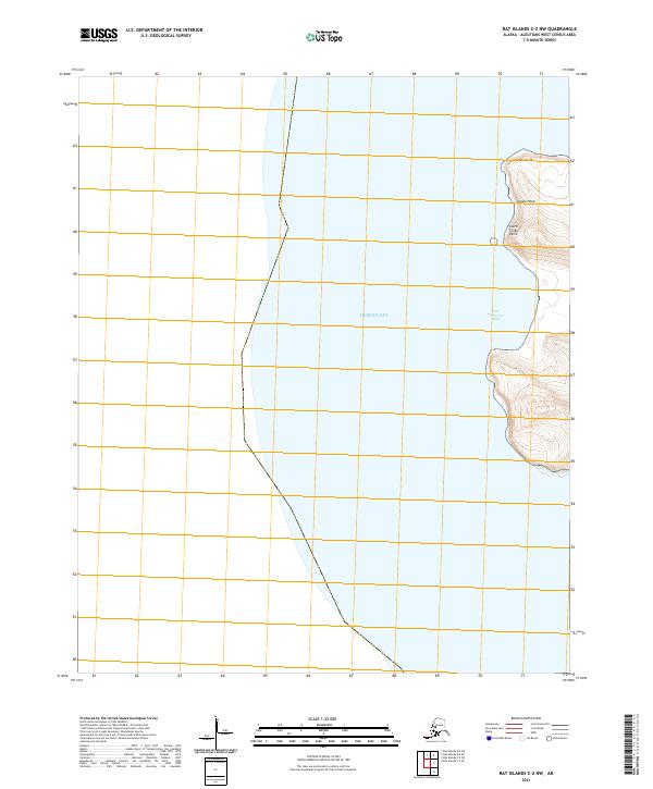
The Bering Sea dominates this remote maritime reach of the Aleutian Islands, where the landscape is defined almost entirely by the intersection of water and open survey boundaries. This 2021 study of the Rat Islands C-2 SE quadrangle is strikingly sparse, emphasizing the isolation of the region within the Aleutians West Census Area. Beyond the shoreline along the northern edge, the map is primarily a grid of public land survey divisions, including T96s R222w and T96s R221w. The lack of named terrestrial features or infrastructure highlights the uninhabited and untamed nature of these islands, making it a stark record of one of the most distant maritime frontiers in the United States.
Find a feature on this map
3 named features on this map. Tap any name to fly to it.
Don’t see what you’re looking for? This feature index may not catch every label — zoom into the map to look around manually.
Map Details
Editions of this 2021 Rat Islands C-2 SE Map
This is the sole edition of this map. No revisions or reprints were ever made.