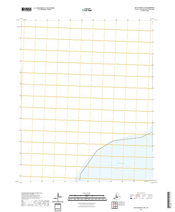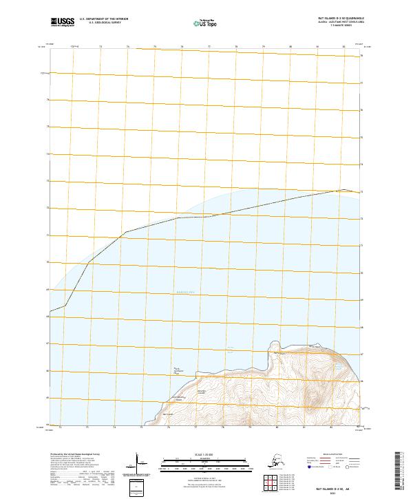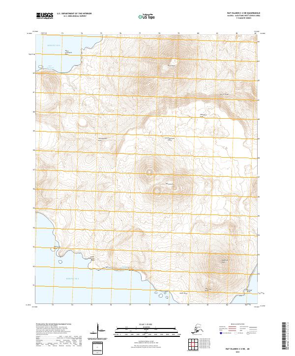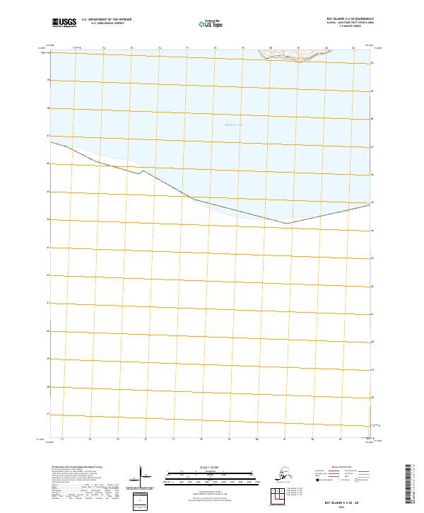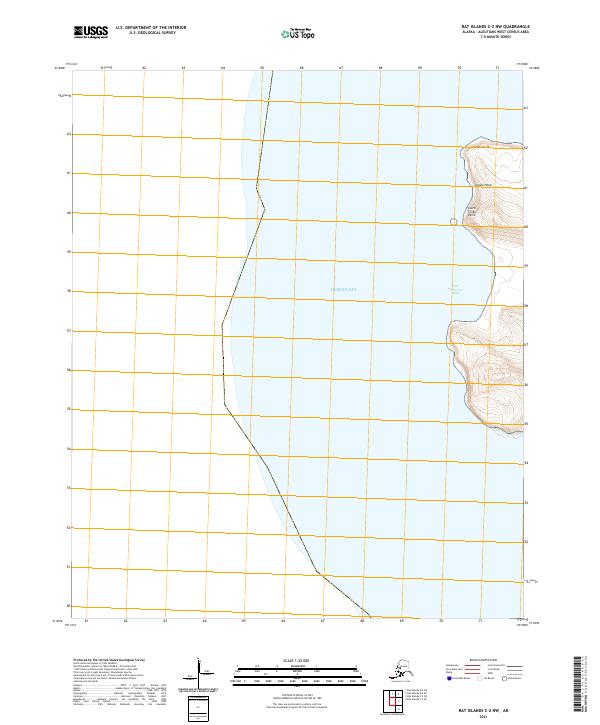
2021 Map of Rat Islands C-2 NW
USGS Topo · Published 2021About this map
Bering Sea waters dominate this remote western Aleutian landscape, where the rugged coastline of the Rat Islands meets the North Pacific. The shoreline is defined by several prominent coastal landforms including Tuman Point, Tuman Head, and South Tuman Point, which provide significant navigational markers along the eastern edge of the quadrangle. Tucked between these points is the Vest-Southwest Bight, a distinct coastal indentation. The interior of the map is primarily maritime, divided by the Public Land Survey System grids of t95s r223w and t95s r222w. This 2021 survey illustrates the stark, unpopulated character of the Aleutians West Census Area, focusing on the topographic relief of these volcanic islands as they emerge from the sea.
Find a feature on this map
9 named features on this map. Tap any name to fly to it.
Don’t see what you’re looking for? This feature index may not catch every label — zoom into the map to look around manually.
Map Details
Editions of this 2021 Rat Islands C-2 NW Map
This is the sole edition of this map. No revisions or reprints were ever made.