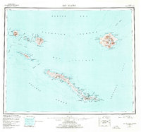
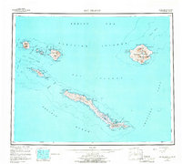
1951 Map of Rat Islands
USGS Topo · Published 1976About this map
Amchitka Island and its neighbors in the Rat Islands chain appear here during a period of significant strategic utility. Based on surveys from 1943 to 1949, this topographic record details the remote geography of the western Aleutian Islands, showing the complex volcanic terrain of Semisopochnoi Island with peaks like Mt Cerberus and Anvil Pk. The southern reach of Amchitka Island is marked by specialized infrastructure, including Military Airports and a Quarry, remnants of the region's importance during and after the Second World War.
Find a feature on this map
86 named features on this map. Tap any name to fly to it.
Don’t see what you’re looking for? This feature index may not catch every label — zoom into the map to look around manually.
Map Details
Editions of this 1951 Rat Islands Map
7 editions found
Other maps of this area

1951 · Kiska
USGS Topo · 1:250,000

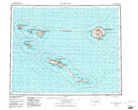
1951 · Rat Islands
USGS Topo · 1:250,000

1958 · Kiska
USGS Topo · 1:250,000
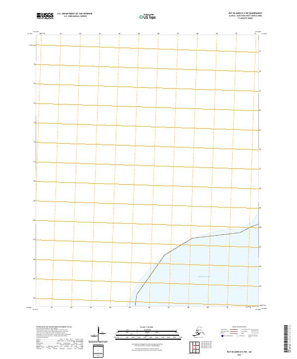
2021 · Rat Islands D-2 SW
USGS Topo · 1:25,000
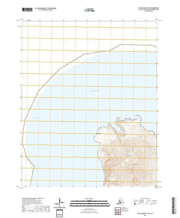
2021 · Rat Islands D-6 SW
USGS Topo · 1:25,000
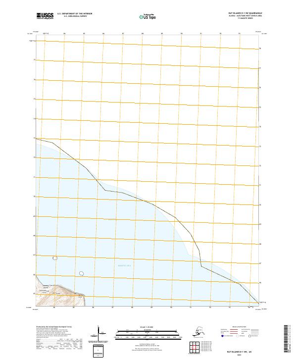
2021 · Rat Islands D-1 SW
USGS Topo · 1:25,000
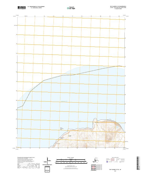
2021 · Rat Islands D-2 SE
USGS Topo · 1:25,000
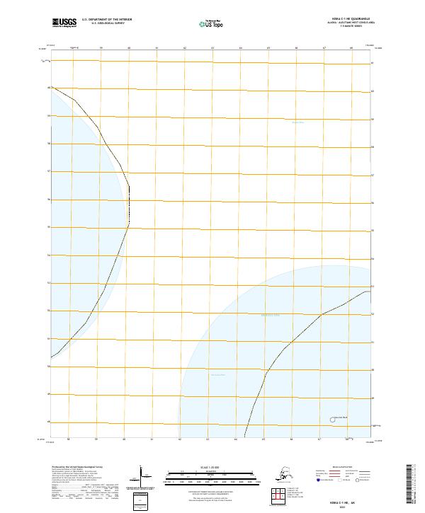
2021 · Kiska C-1 NE
USGS Topo · 1:25,000
2021 · Rat Islands D-1 SE
USGS Topo · 1:25,000
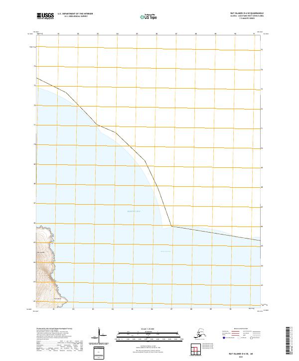
2021 · Rat Islands D-6 SE
USGS Topo · 1:25,000