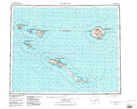
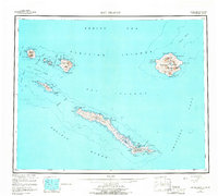
1951 Map of Rat Islands
USGS Topo · Published 1984About this map
Rat Islands at the edge of the Bering Sea and Pacific Ocean are documented here in a survey capturing the archipelago's strategic and natural profile. Amchitka Island, the southernmost major landmass on this sheet, reveals a concentrated geography of naval and aviation interest, most notably the Military Airport situated near the sheltered waters of Constantine Harbor. This coastline is punctuated by features such as Makarius Bay and North Bight, illustrating the isolation of these outposts during the mid-century era.
Find a feature on this map
87 named features on this map. Tap any name to fly to it.
Don’t see what you’re looking for? This feature index may not catch every label — zoom into the map to look around manually.
Map Details
Editions of this 1951 Rat Islands Map
7 editions found
Other maps of this area

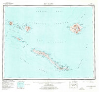
1951 · Kiska
USGS Topo · 1:250,000

1951 · Rat Islands
USGS Topo · 1:250,000

1958 · Kiska
USGS Topo · 1:250,000
2021 · Rat Islands D-2 SW
USGS Topo · 1:25,000
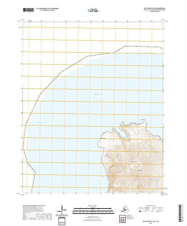
2021 · Rat Islands D-6 SW
USGS Topo · 1:25,000
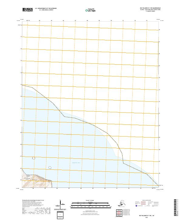
2021 · Rat Islands D-1 SW
USGS Topo · 1:25,000
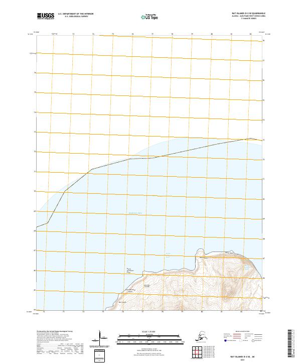
2021 · Rat Islands D-2 SE
USGS Topo · 1:25,000
2021 · Kiska C-1 NE
USGS Topo · 1:25,000
2021 · Rat Islands D-1 SE
USGS Topo · 1:25,000
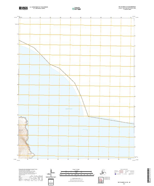
2021 · Rat Islands D-6 SE
USGS Topo · 1:25,000