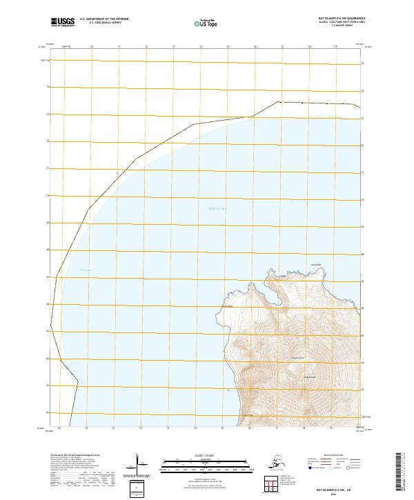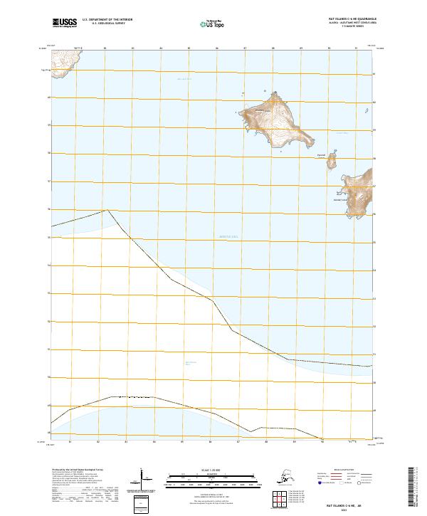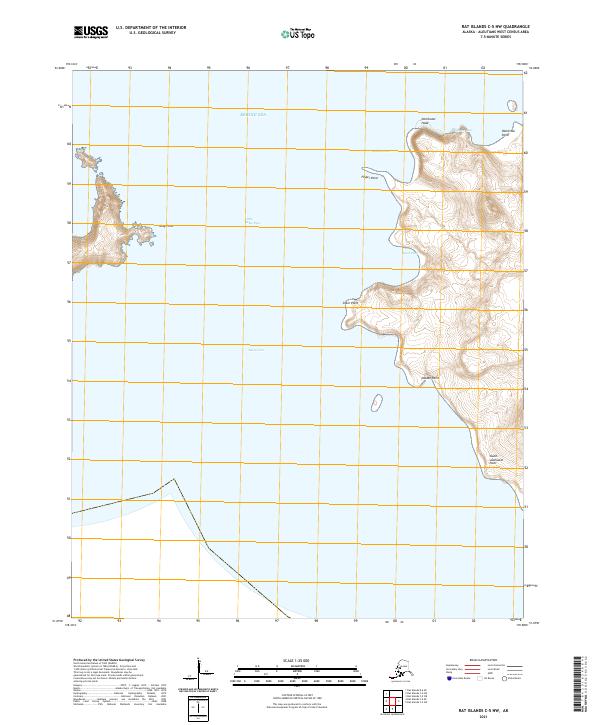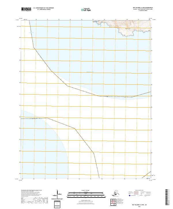
2021 Map of Rat Islands D-6 SE
USGS Topo · Published 2021About this map
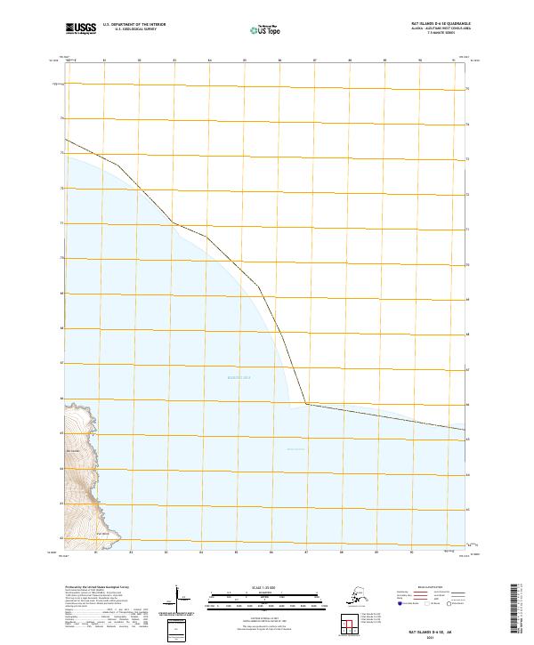
Iron Point stands as a prominent coastal landmark on the western edge of this 2021 topographic map, where the steep terrain of the Rat Islands meets the open water. The landscape is characterized by a dramatic shoreline interface between the volcanic archipelago and the vast Bering Sea, which dominates the majority of this quadrangle. Navigational corridors like Khvostof Pass hint at the maritime significance of these remote Aleutian waters, providing a spatial record of the channels that separate these islands.
Find a feature on this map
6 named features on this map. Tap any name to fly to it.
Don’t see what you’re looking for? This feature index may not catch every label — zoom into the map to look around manually.
Map Details
Editions of this 2021 Rat Islands D-6 SE Map
This is the sole edition of this map. No revisions or reprints were ever made.