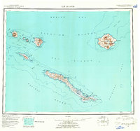
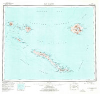
1951 Map of Rat Islands
USGS Topo · Published 1962About this map
Amchitka Island stretches across the lower portion of this reconnaissance survey, serving as a focal point for military infrastructure in the Aleutians following the Second World War. A prominent Military Airfield is located near Constantine Harbor at the eastern end of the island, connected by a network of roads and trails to Kirilof Bay and South Bight. This layout reflects the island's strategic importance during the mid-century era, showing the intersection of military logistics and the remote volcanic landscape.
Find a feature on this map
62 named features on this map. Tap any name to fly to it.
Don’t see what you’re looking for? This feature index may not catch every label — zoom into the map to look around manually.
Map Details
Editions of this 1951 Rat Islands Map
7 editions found
Other maps of this area

1951 · Kiska
USGS Topo · 1:250,000

1951 · Rat Islands
USGS Topo · 1:250,000

1958 · Kiska
USGS Topo · 1:250,000
2021 · Rat Islands D-2 SW
USGS Topo · 1:25,000
2021 · Rat Islands D-6 SW
USGS Topo · 1:25,000
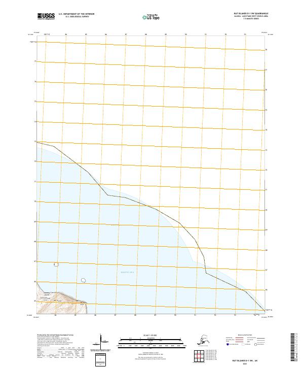
2021 · Rat Islands D-1 SW
USGS Topo · 1:25,000
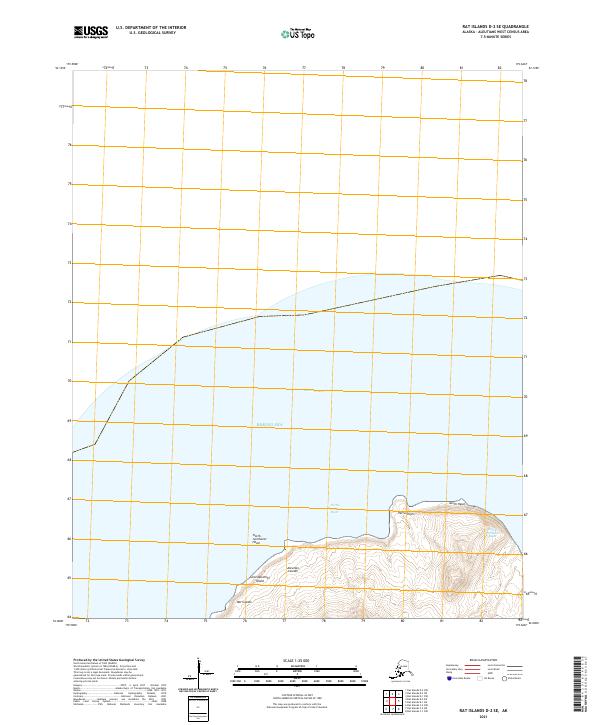
2021 · Rat Islands D-2 SE
USGS Topo · 1:25,000
2021 · Kiska C-1 NE
USGS Topo · 1:25,000
2021 · Rat Islands D-1 SE
USGS Topo · 1:25,000
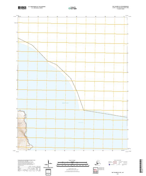
2021 · Rat Islands D-6 SE
USGS Topo · 1:25,000